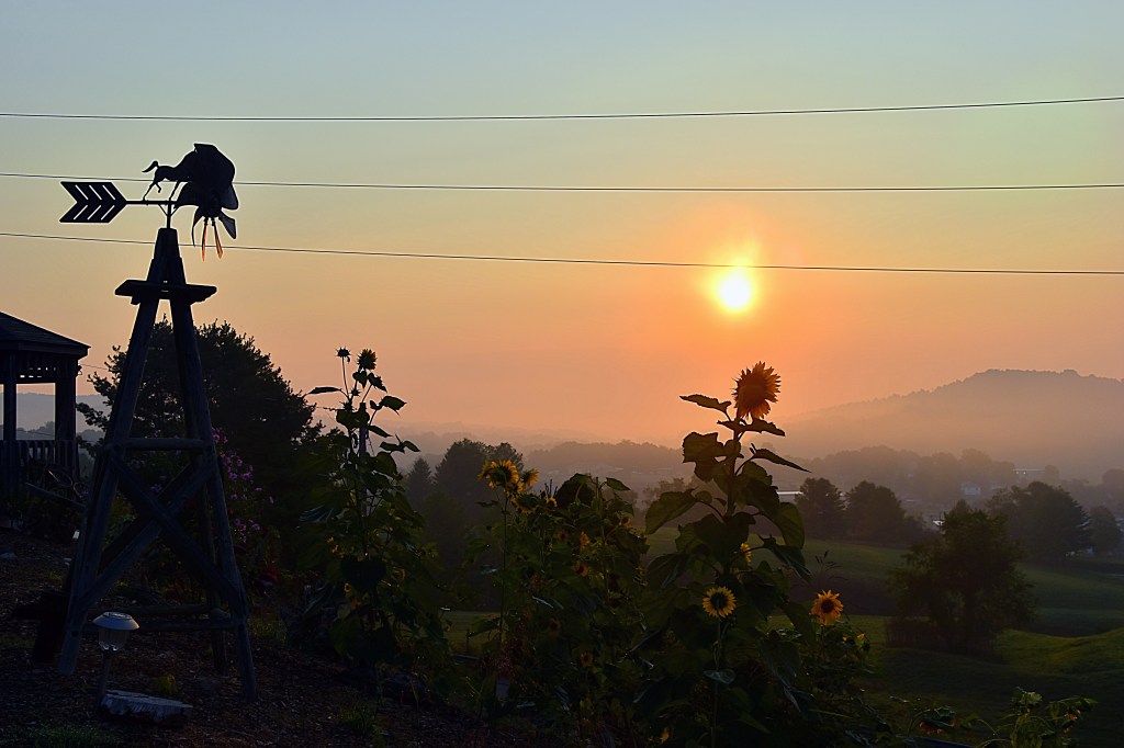
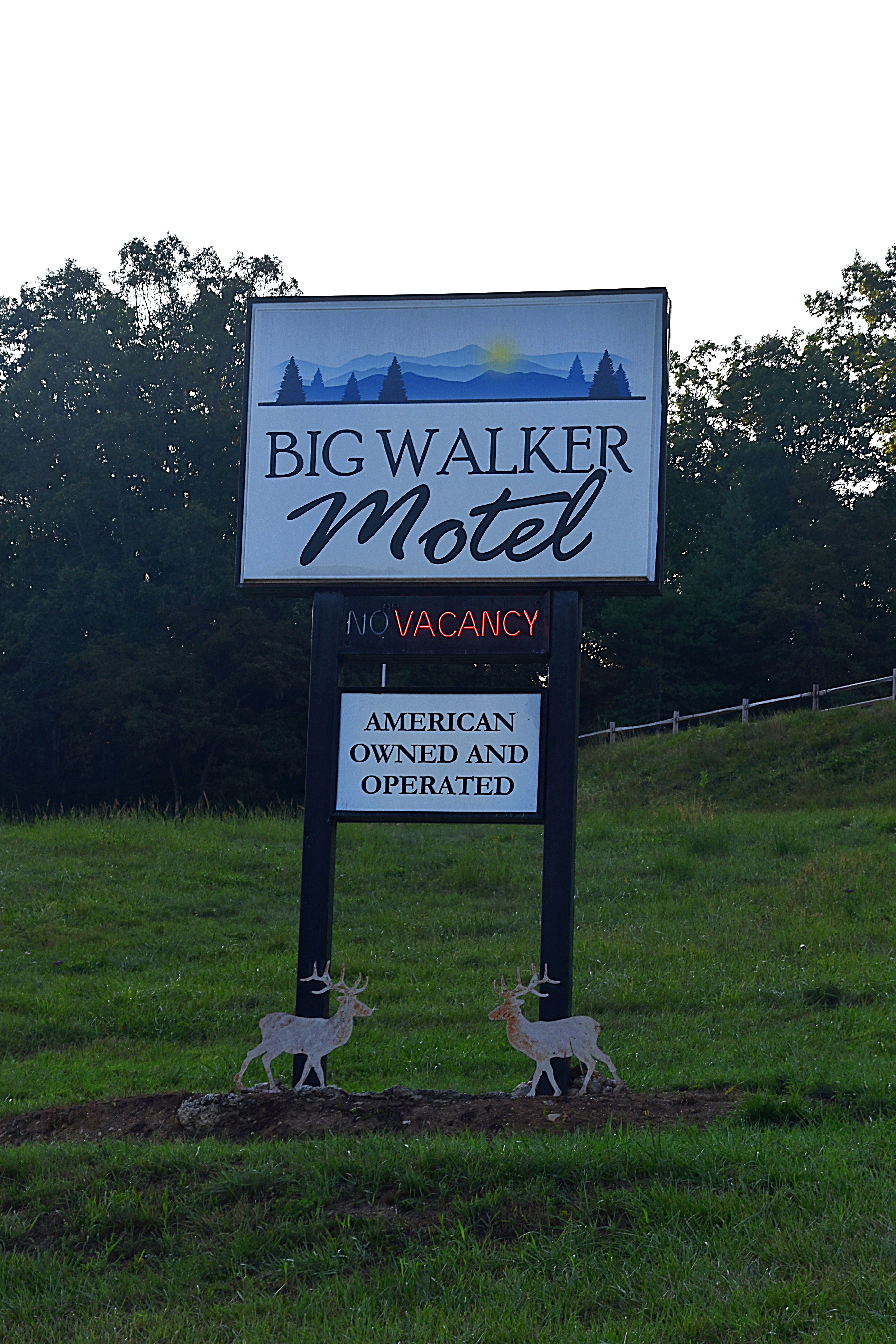
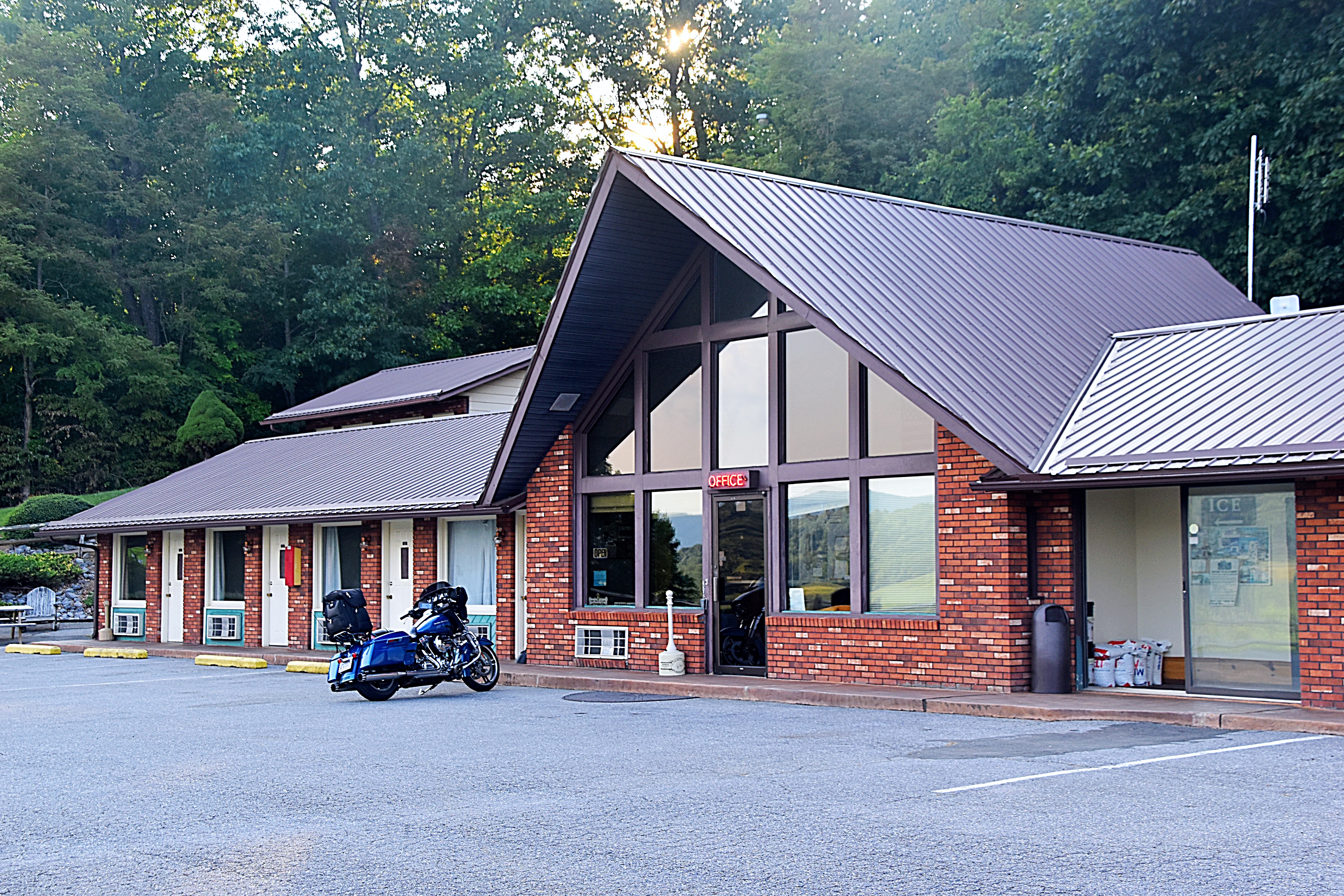
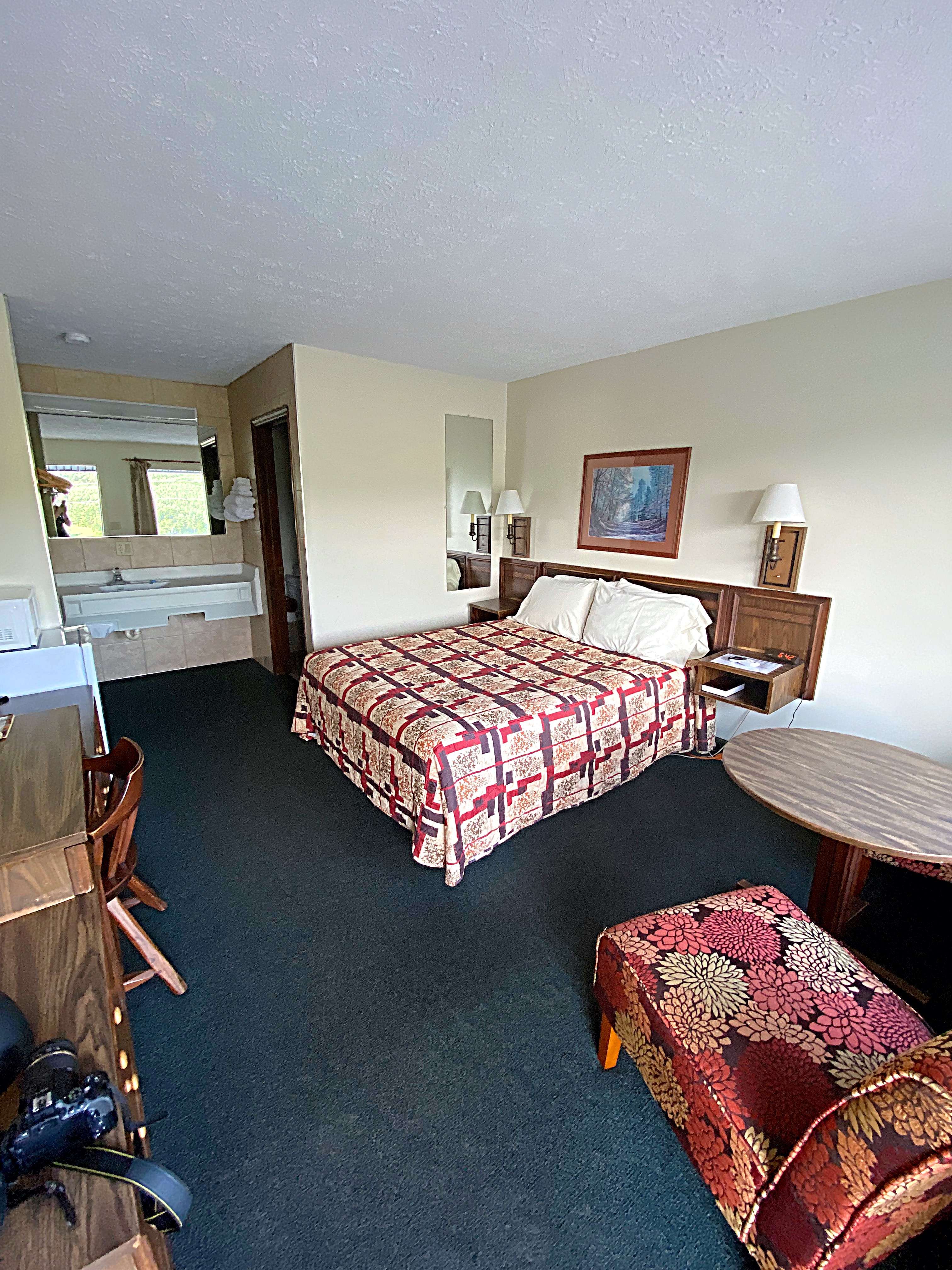
Day 2 of the Claw of the Dragon we woke up to a beautiful sunrise from the Big Walker Motel.
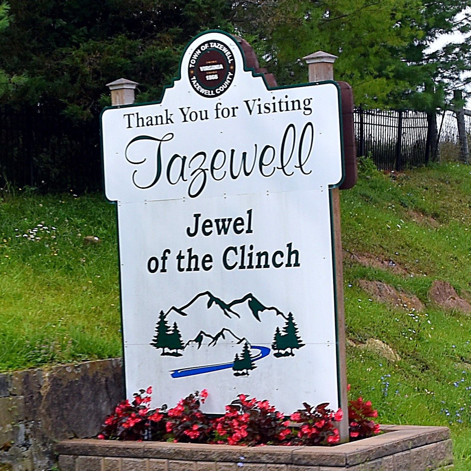
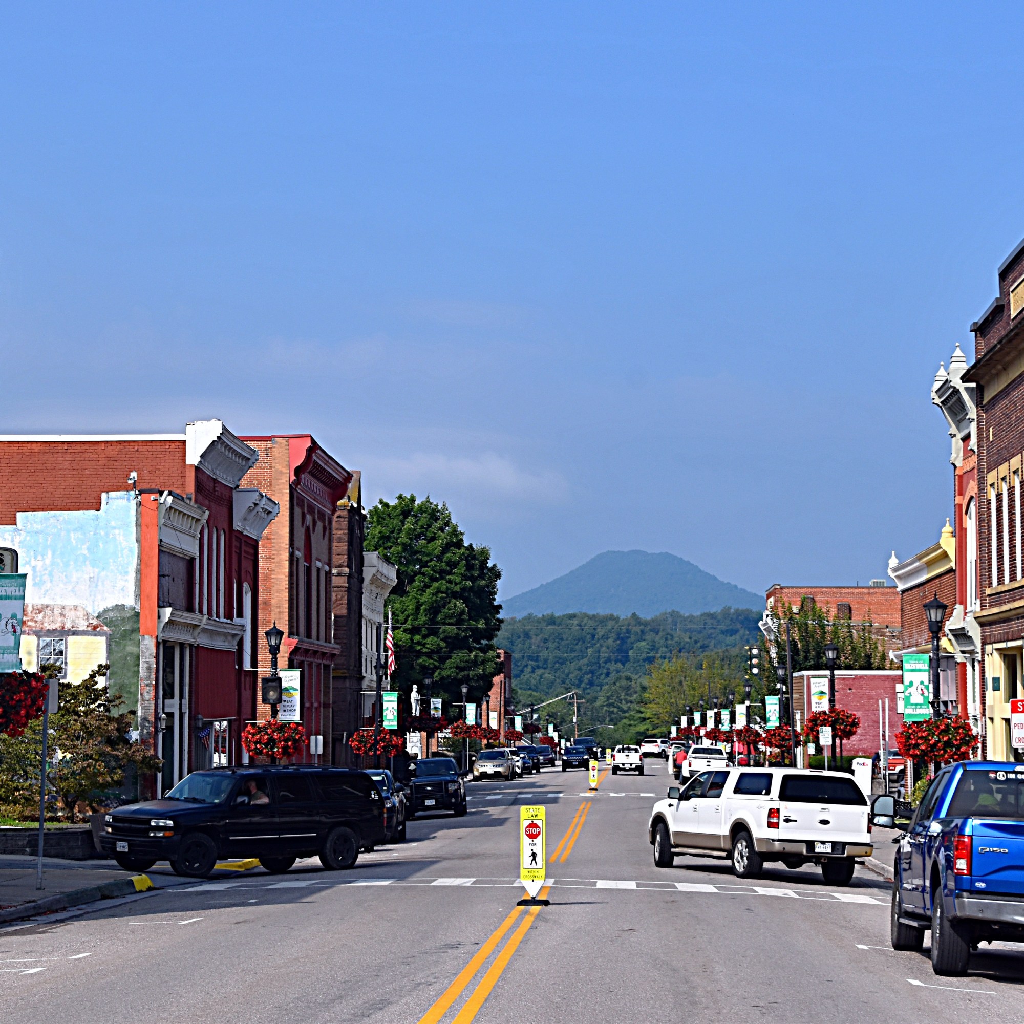
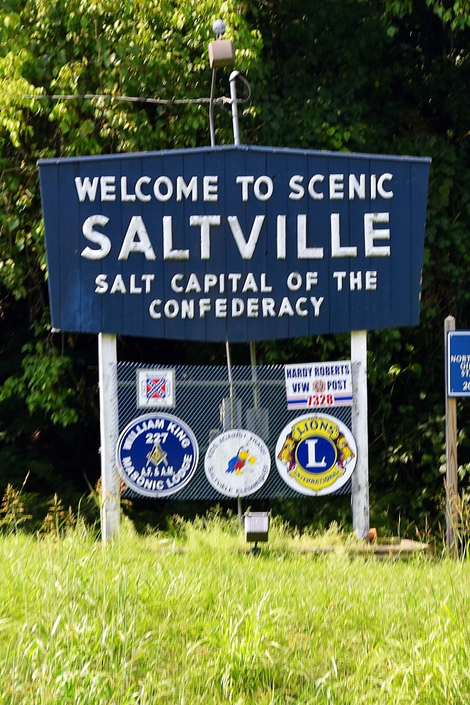
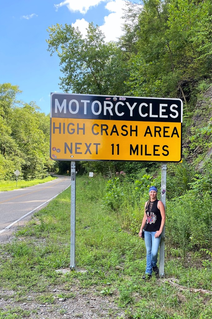
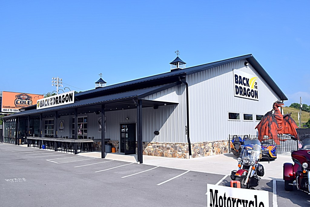
First stop was the Back of the Dragon shop in Tazwell. We picked up some BOTD souvenirs and visited with another rider before hitting the road again.
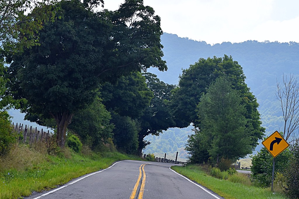
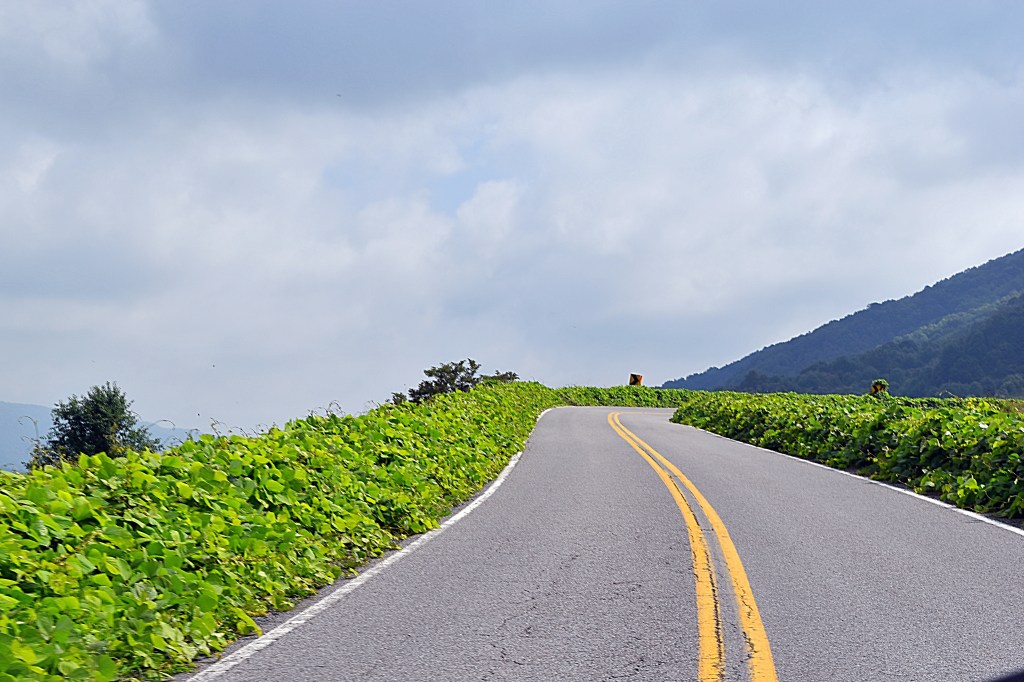
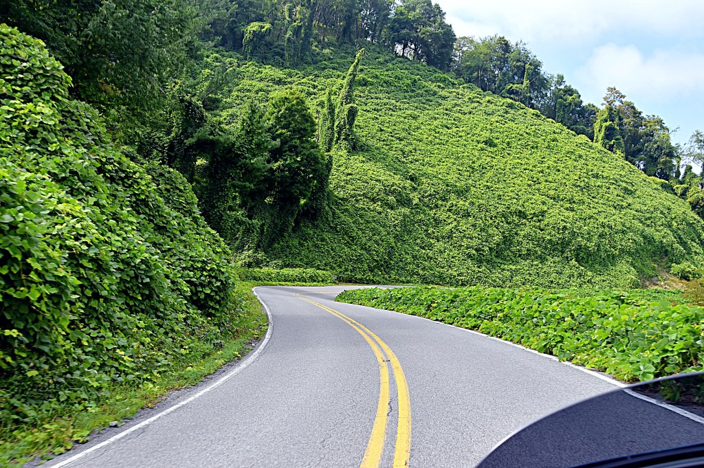
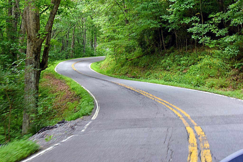
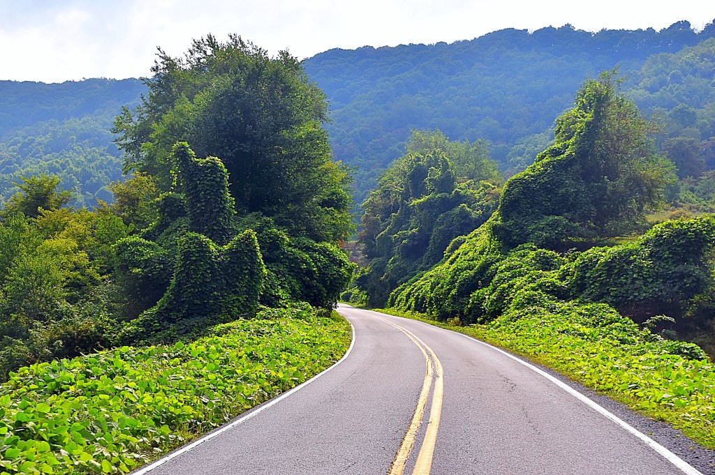
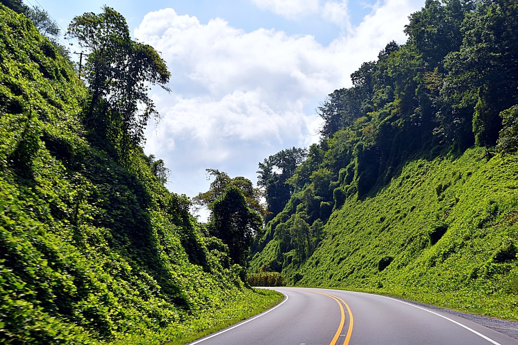
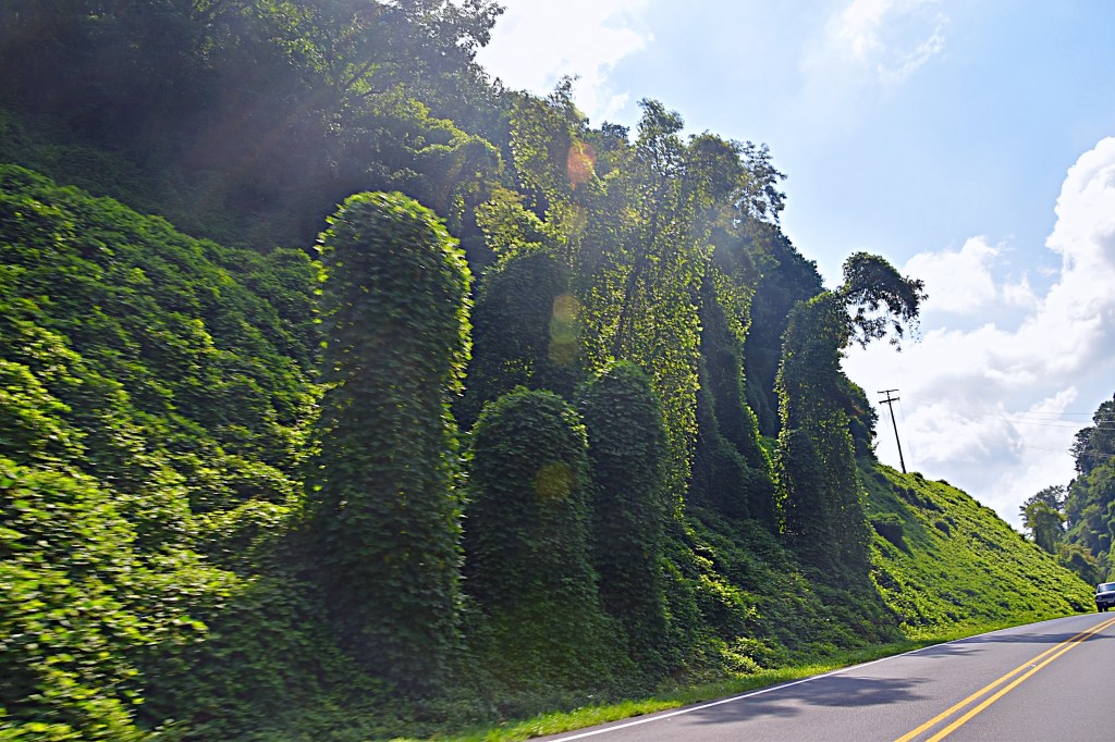
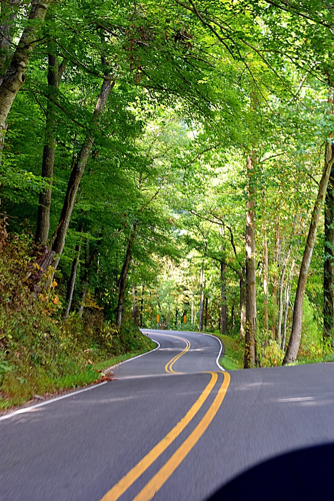
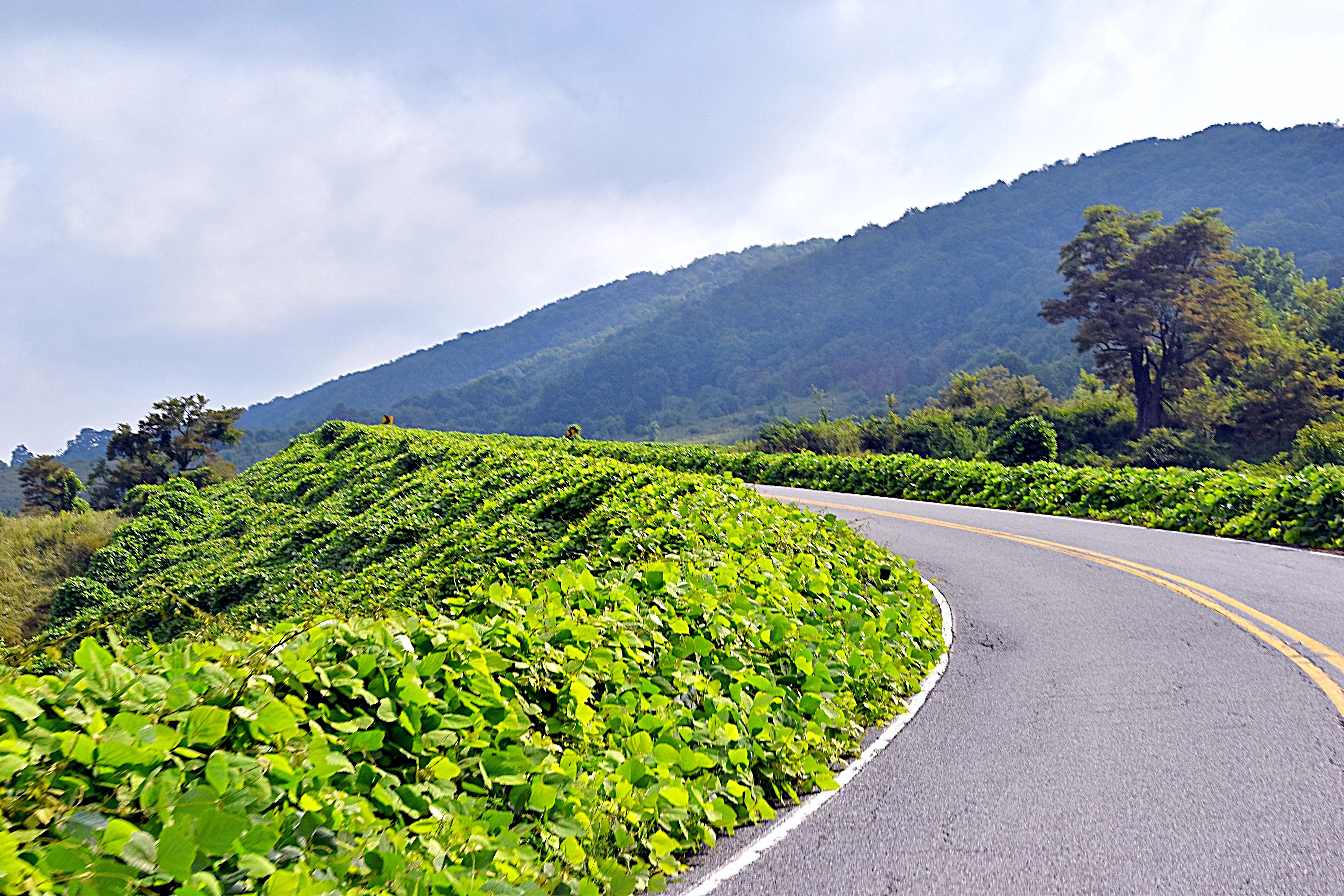
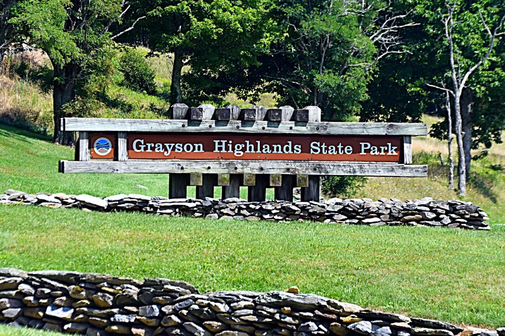
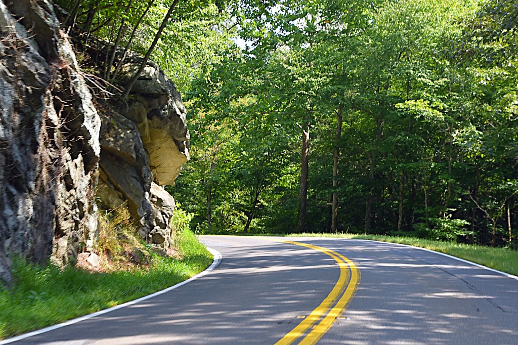
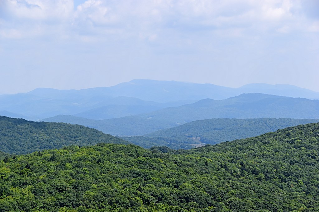
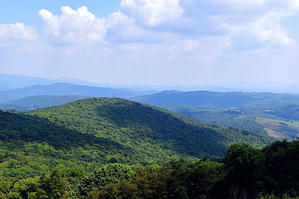
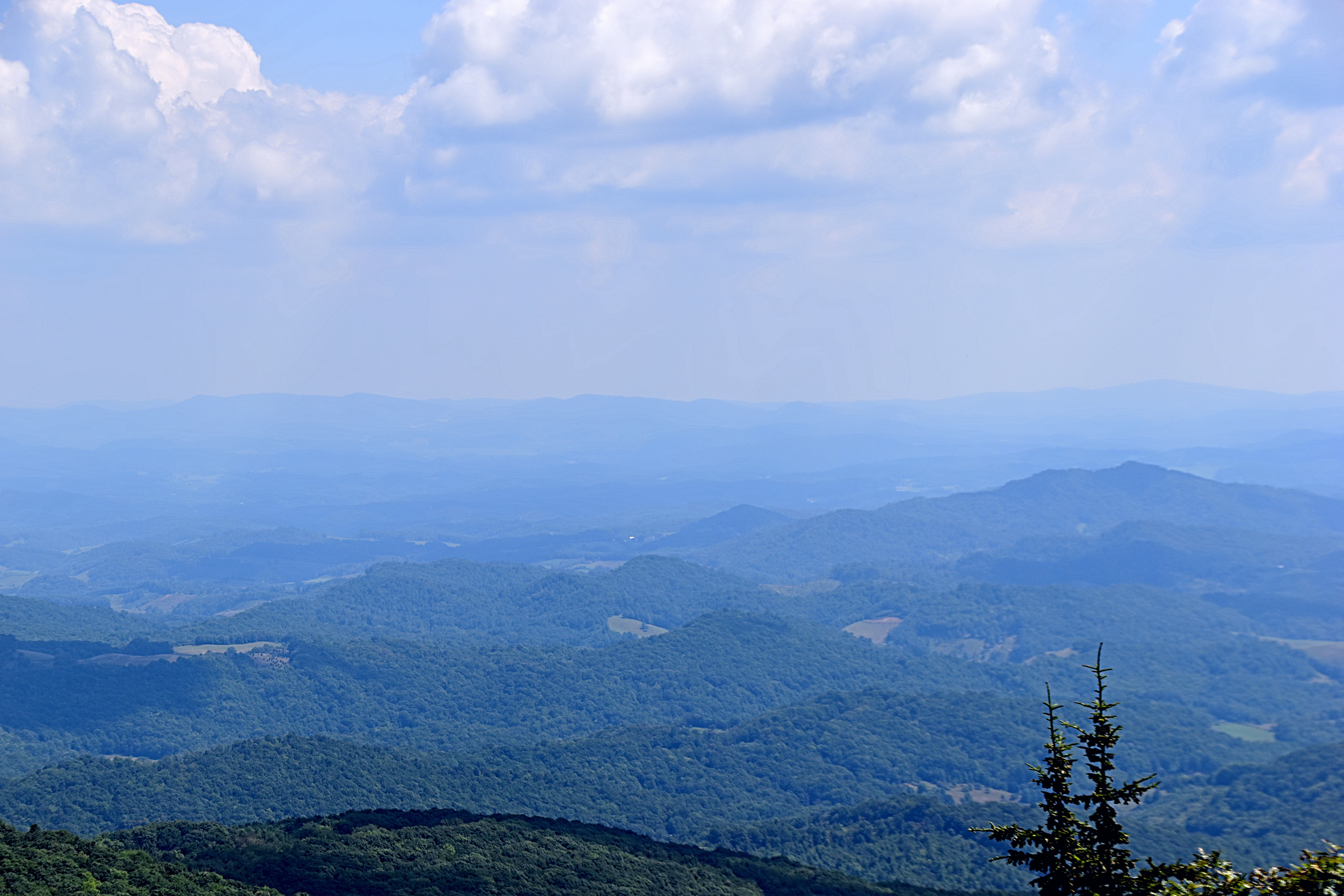
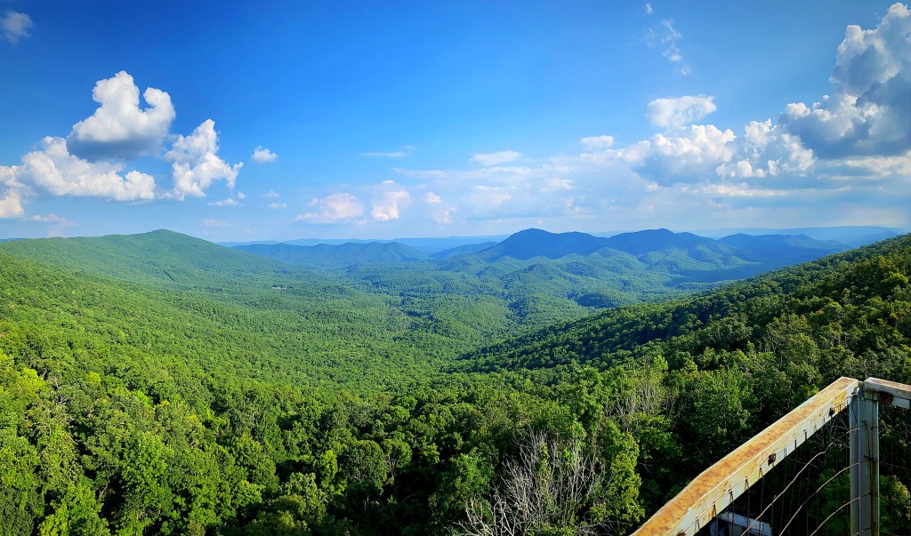
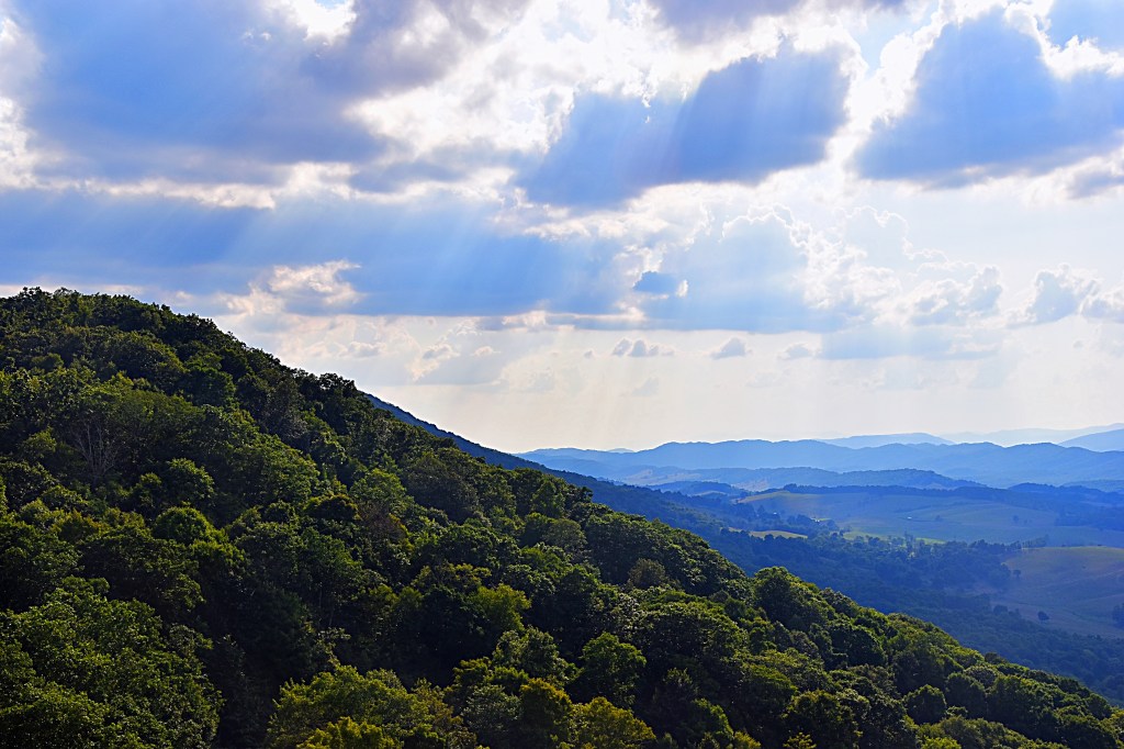
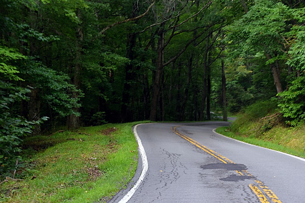
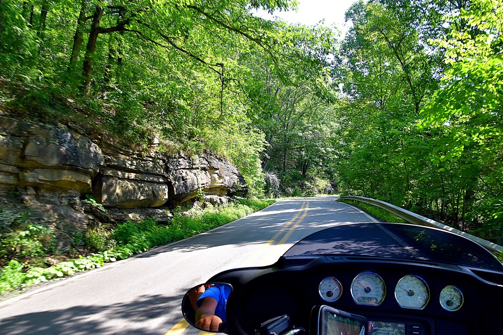
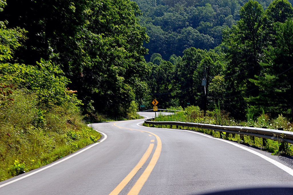
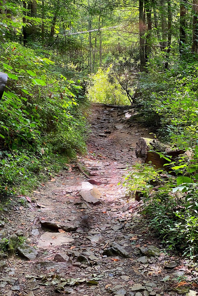
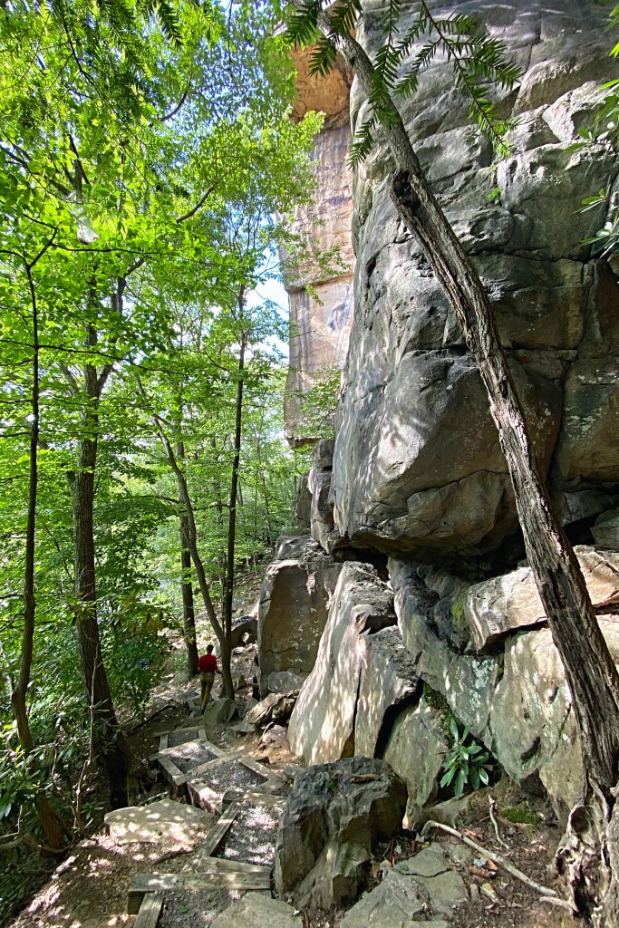
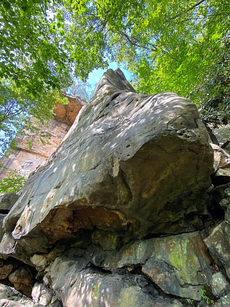
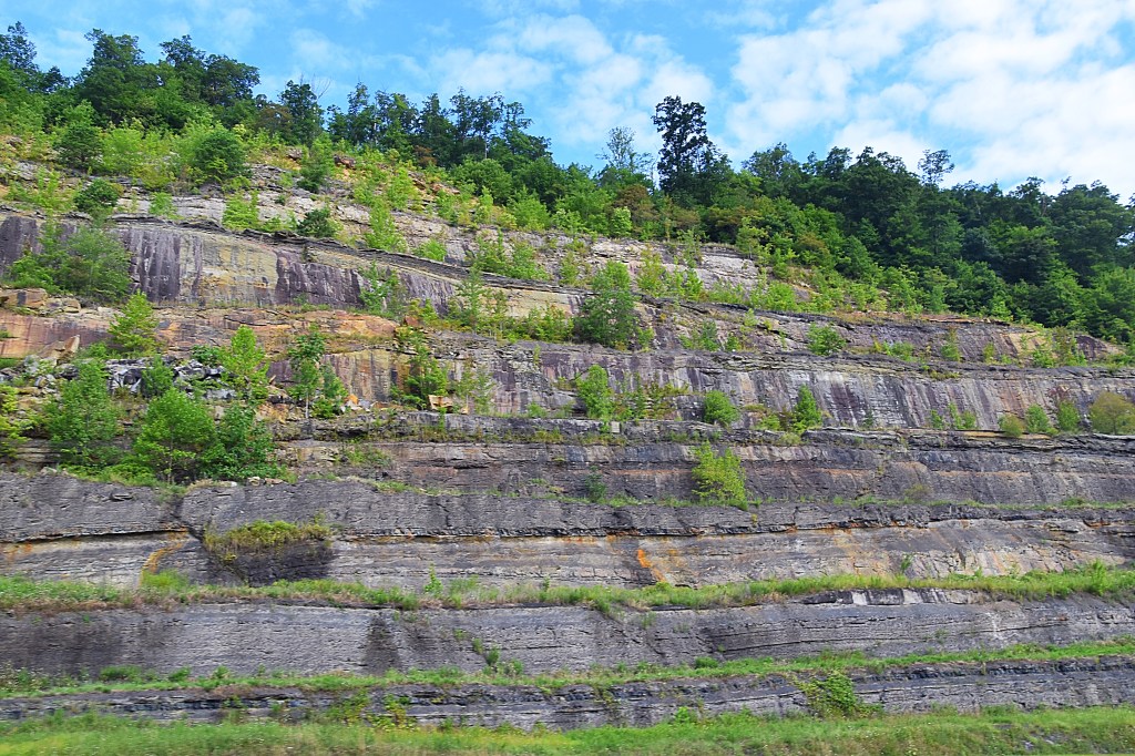
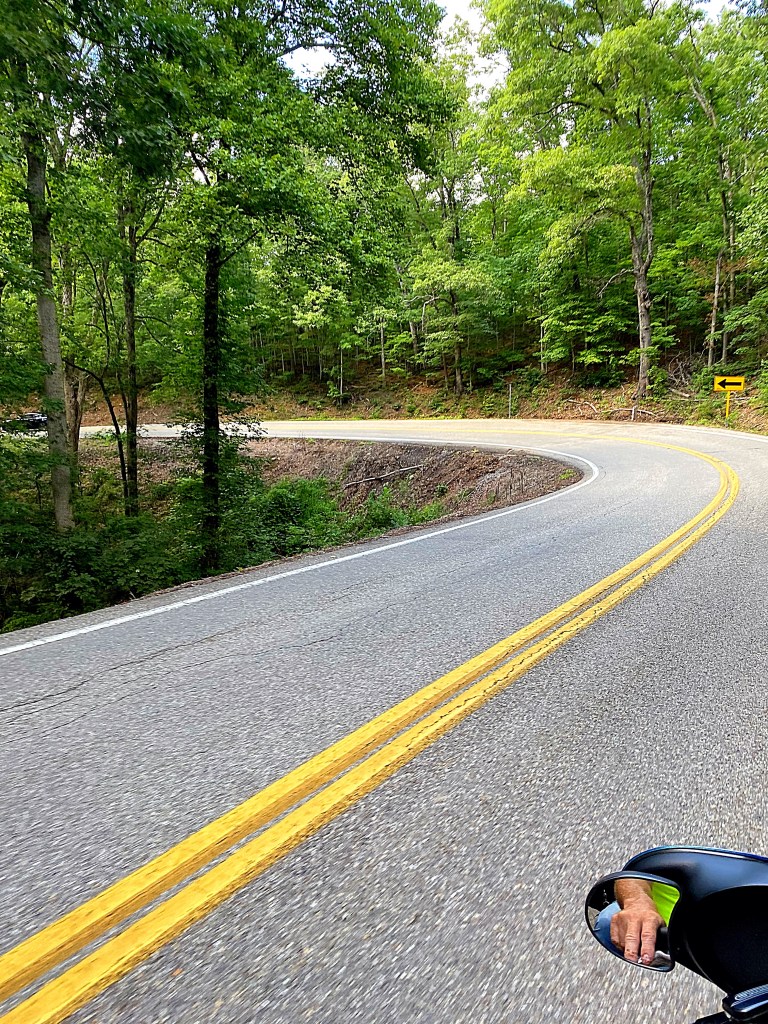
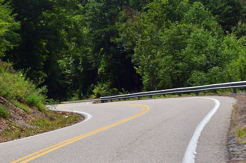
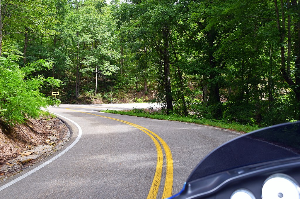
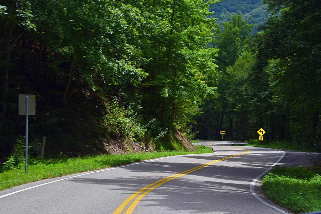
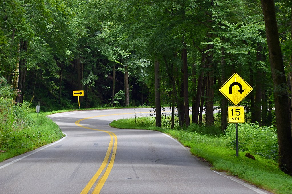
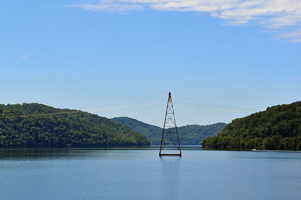
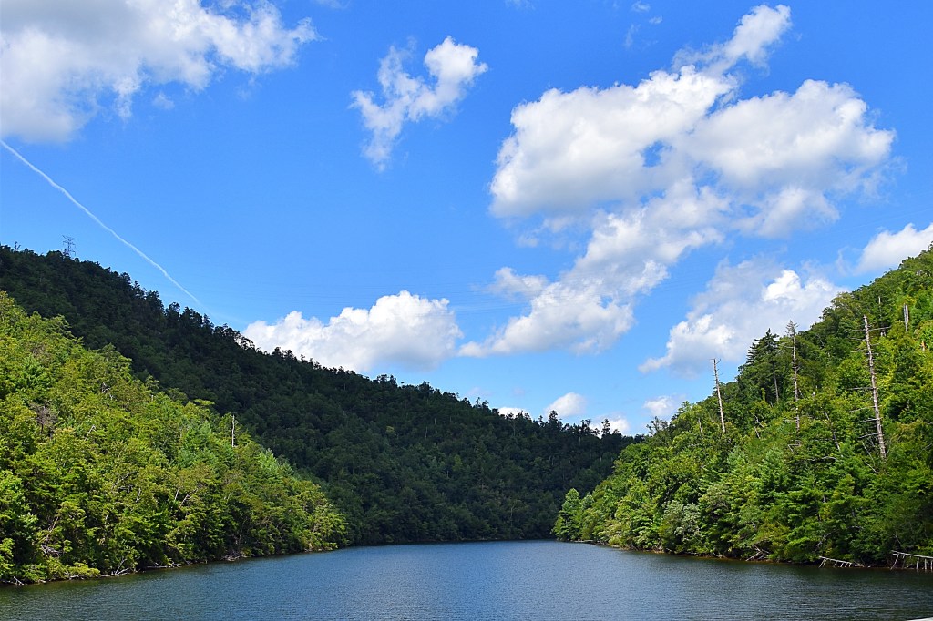
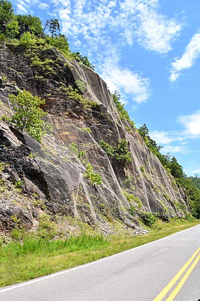
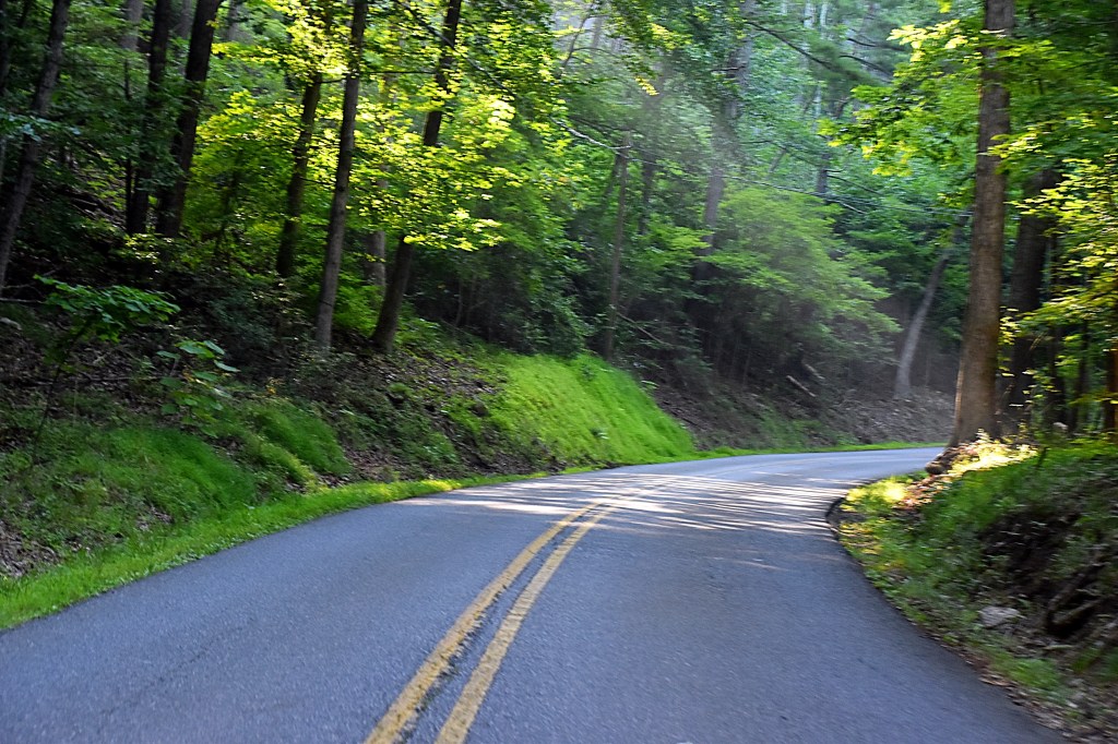
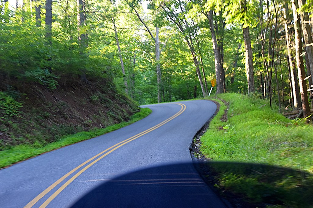
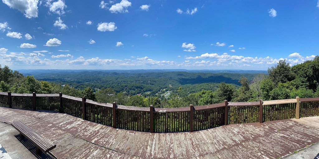
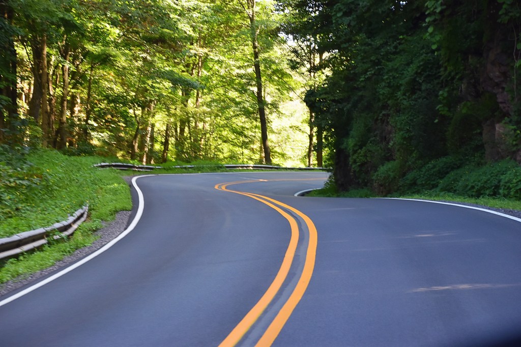
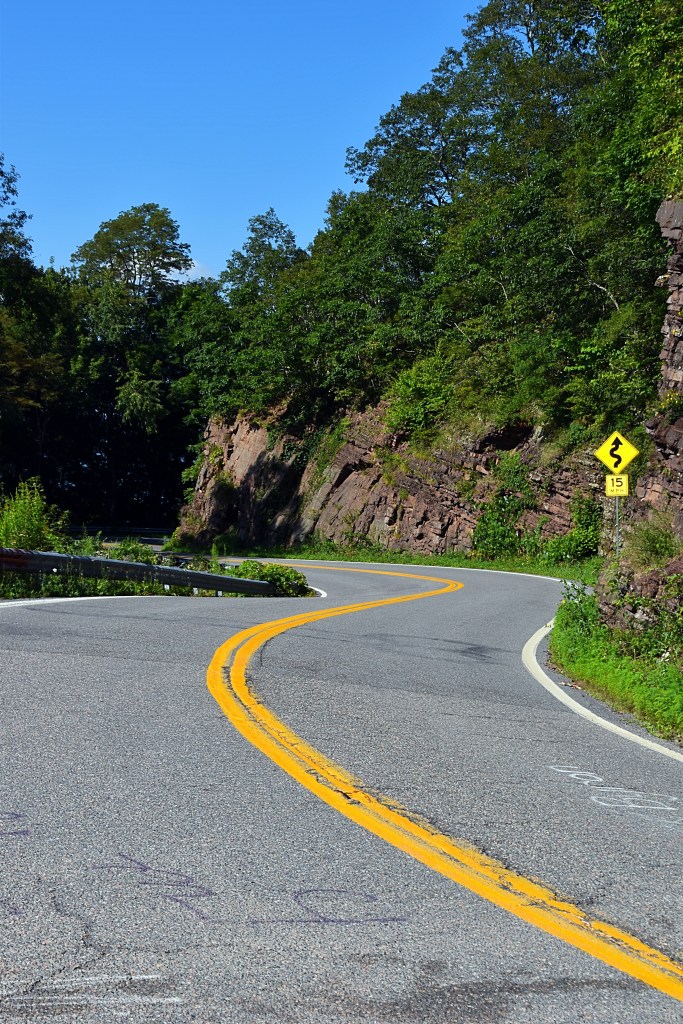
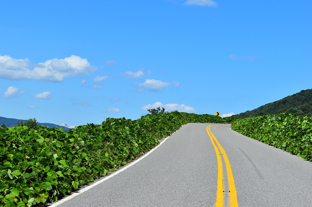
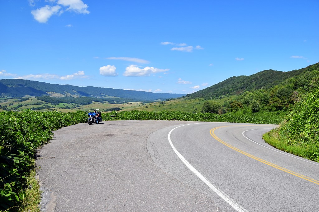
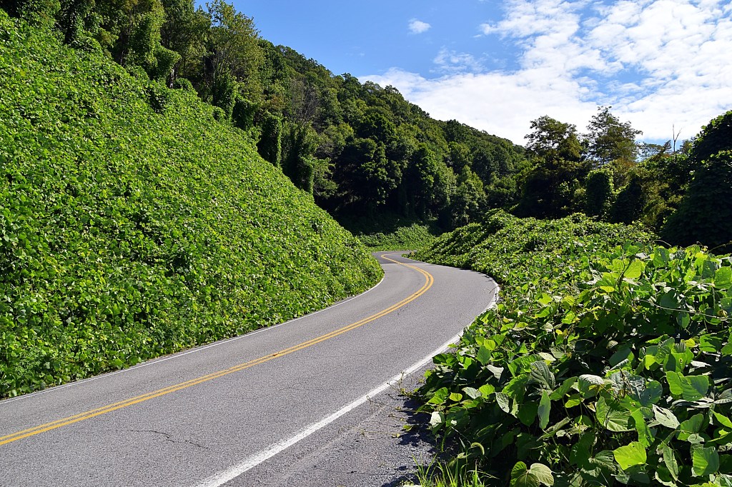
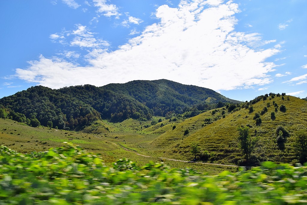
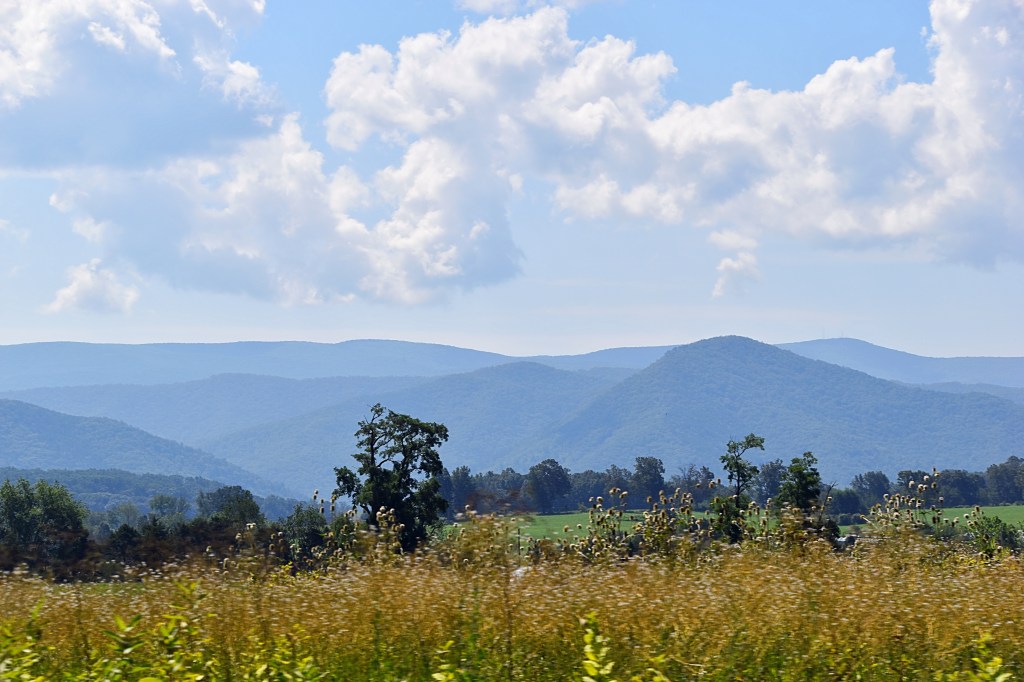
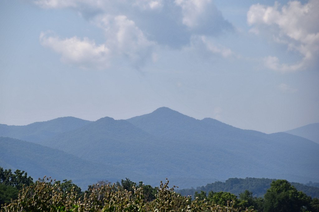
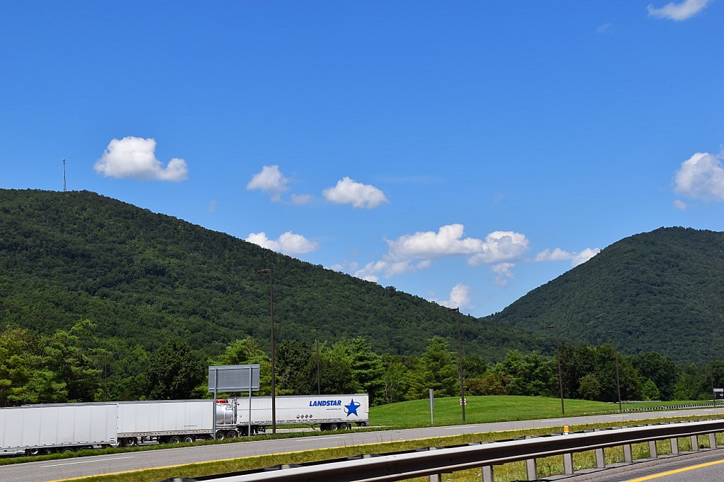
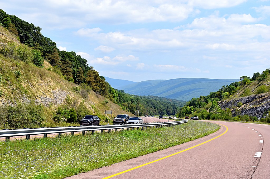
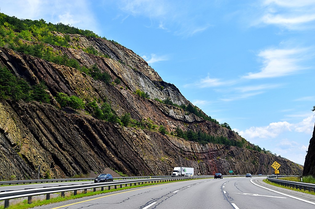
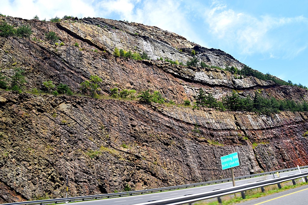
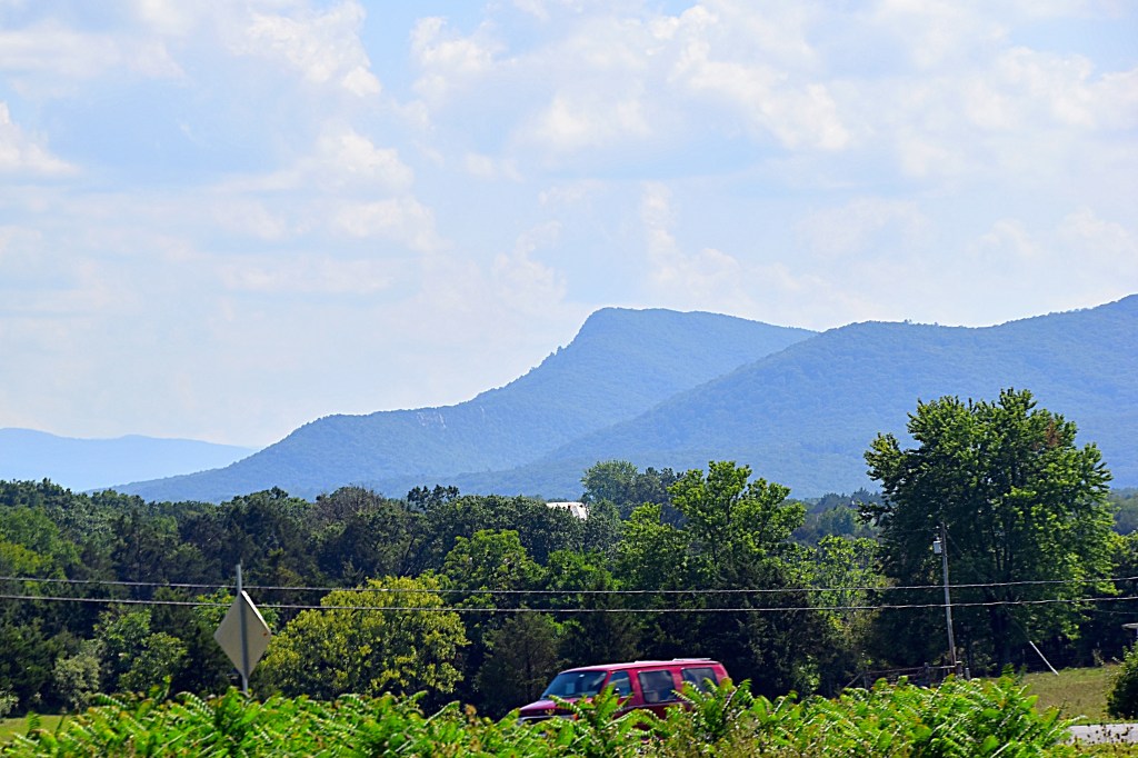
We traveled along the outer loop down the winding mountain roads going through beautiful countryside and several charming towns. Our next stop was the Grayson Highlands State Park.
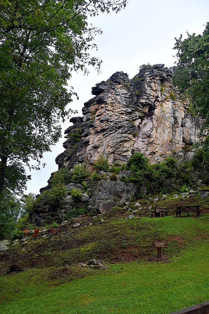
Located in Mouth of Wilson, Virginia it is most often described as having alpine-like peaks. With elevations 5,000 ft, Grayson Highlands offers extraordinary views. Although we did not get to see them during our stop, the park is also well known for its wild ponies.
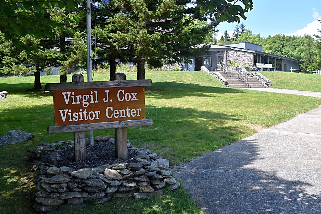
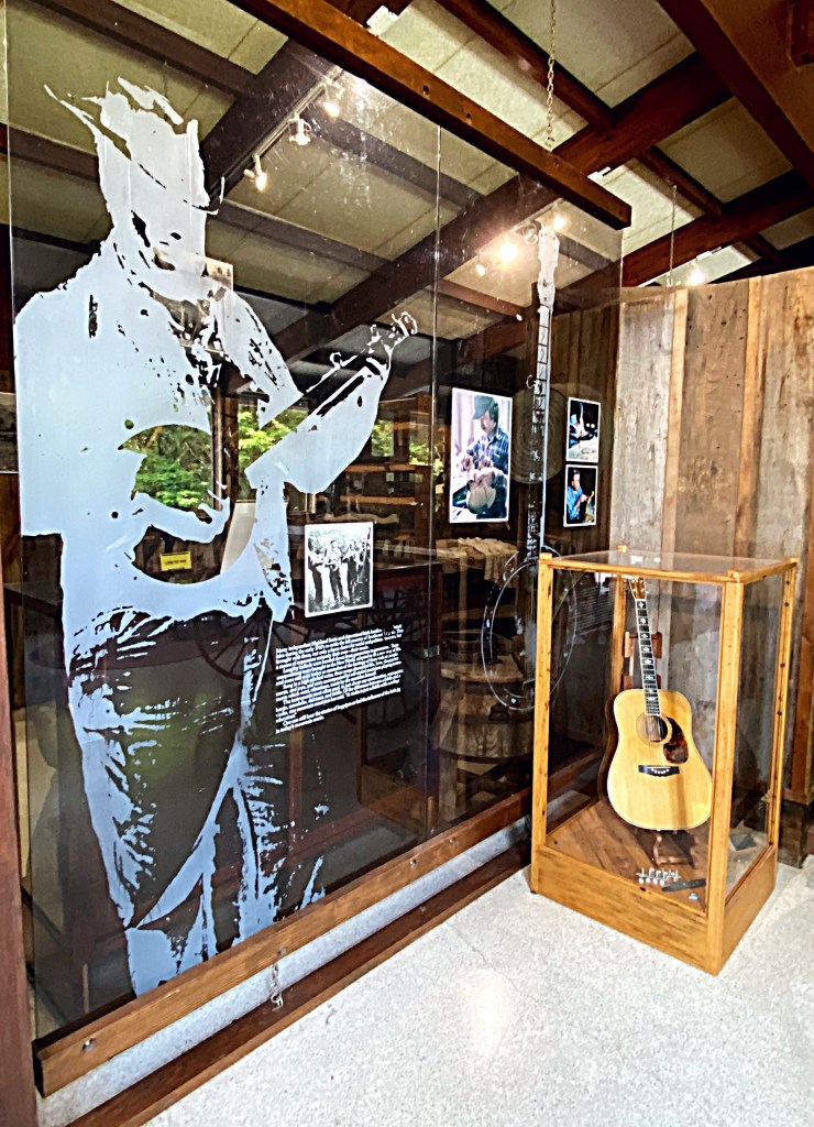
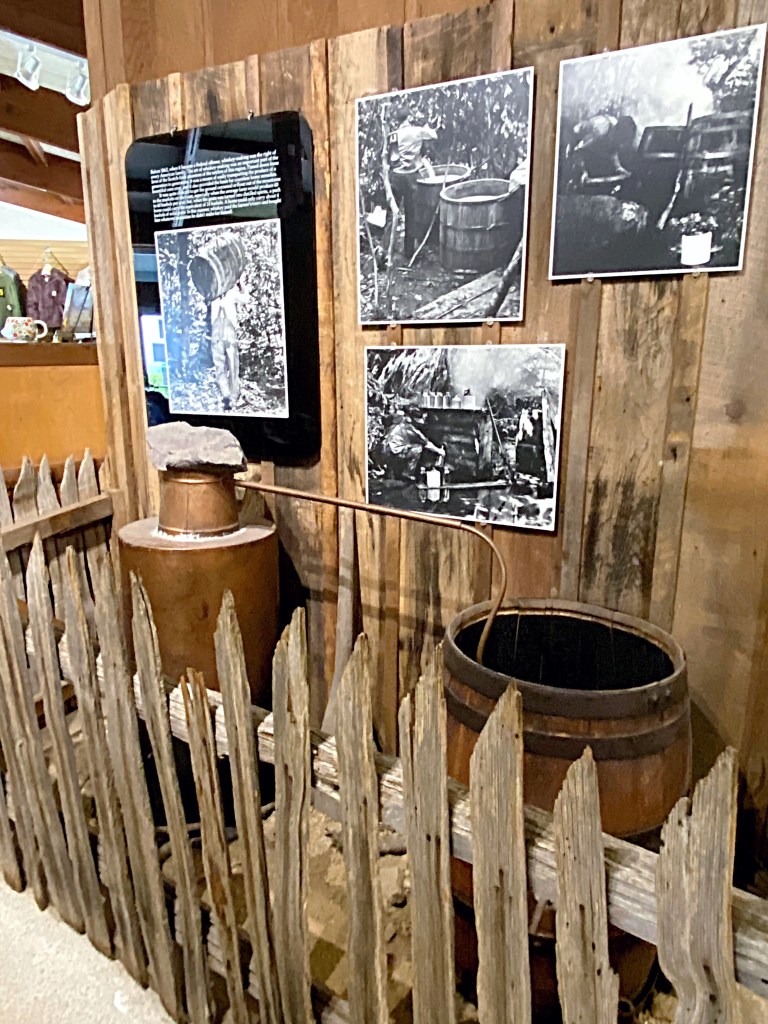
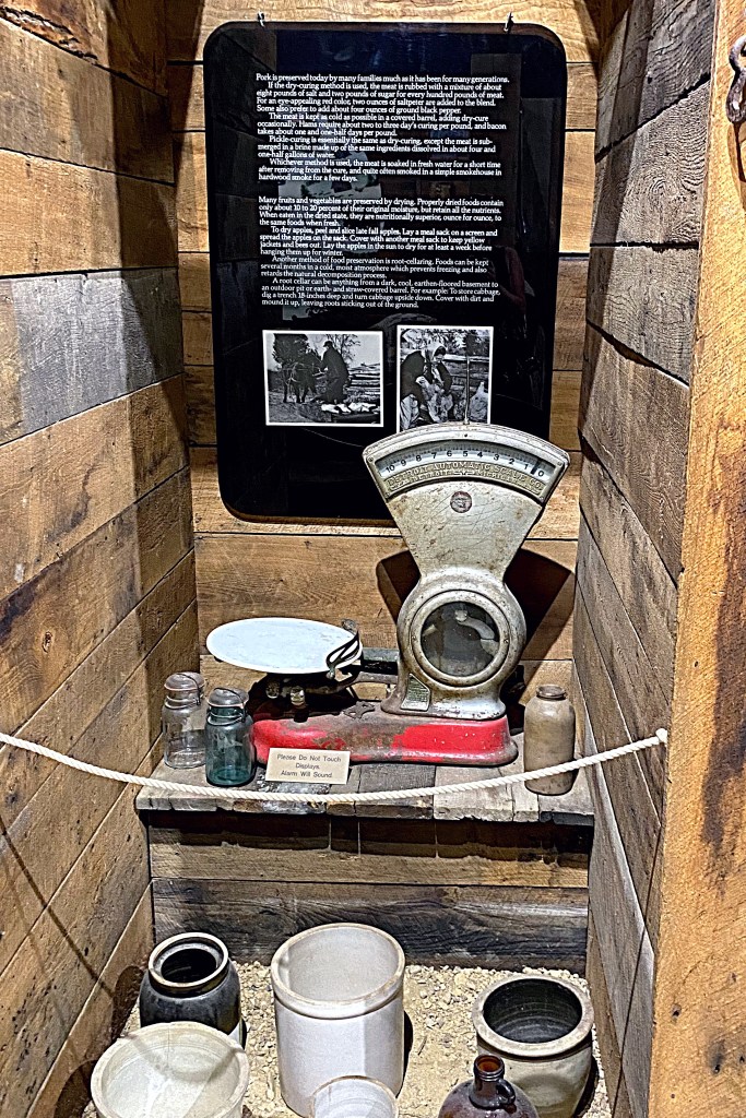
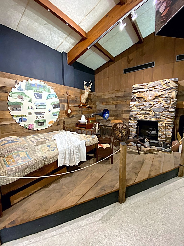
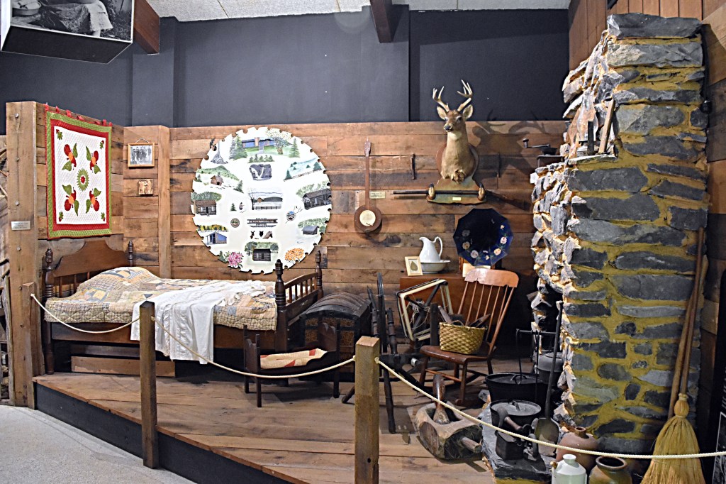
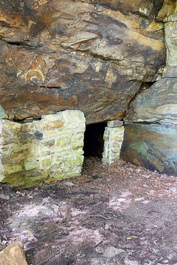
Heading towards the top, there is a visitor center that showcases exhibits and educational items on the history of the area. It covers topics like moonshine, music, the wildlife and lifestyle of the area and much more. You can also do some shopping in the Mountain Crafts Shop. The shop offers crafts and other gifts made by local artisans.
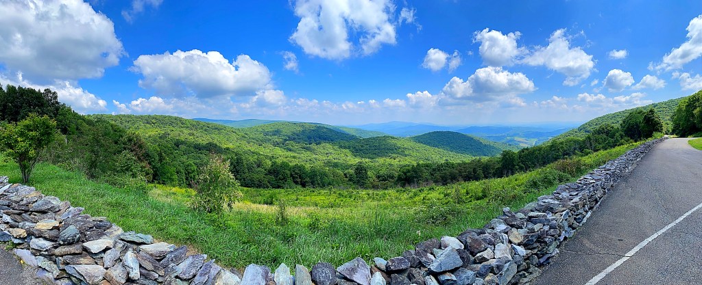
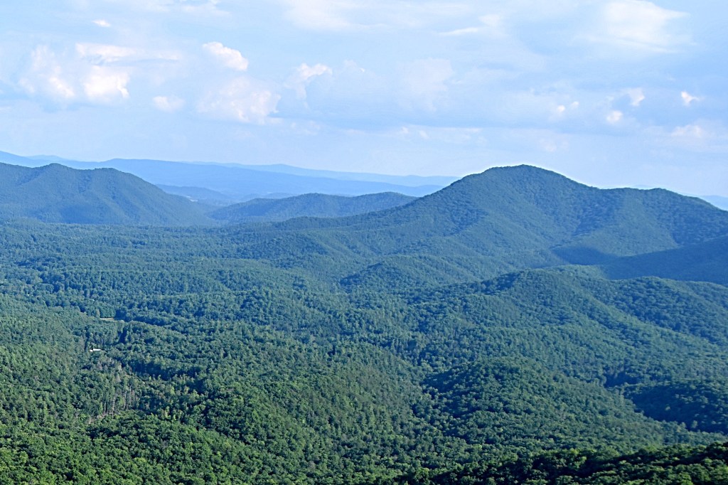
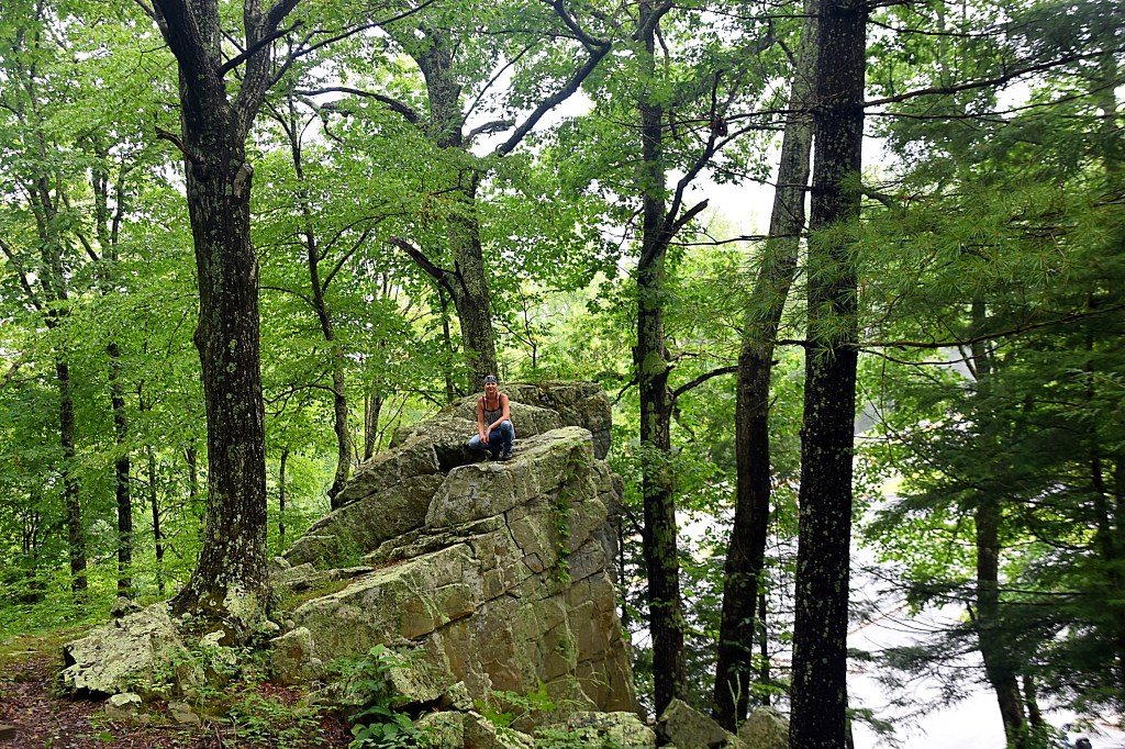
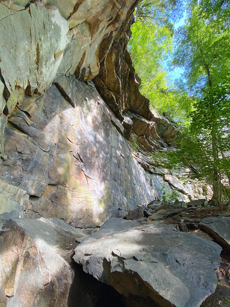
Close to the visitor’s center there is a nice overlook that is just a short walk called Buzzard Rock Overlook. At the time of English settlers, turkey vultures would nest in the rocks and reminded the settlers of the buzzard hawks of their homeland, hence the name “Buzzard Rock”.
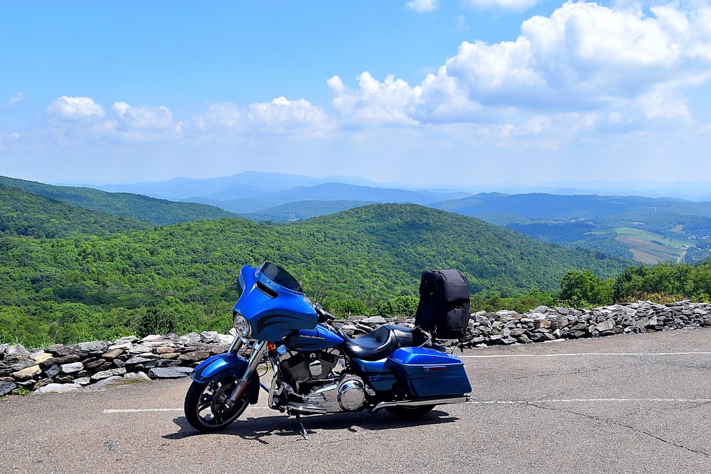
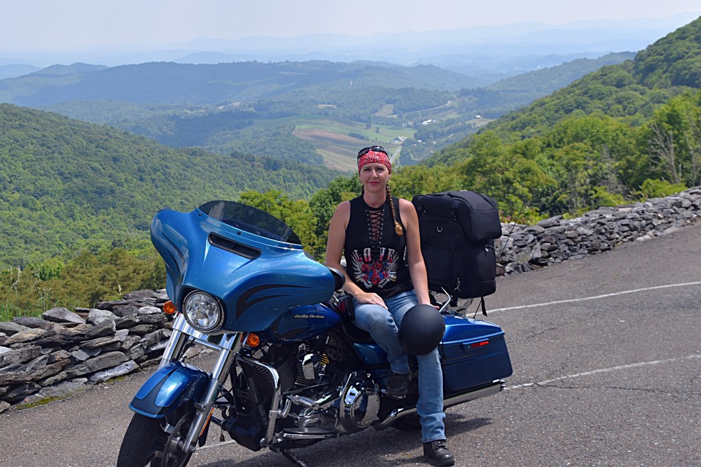
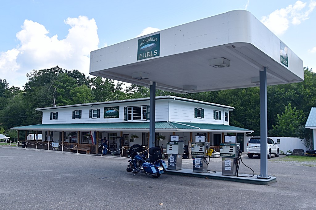
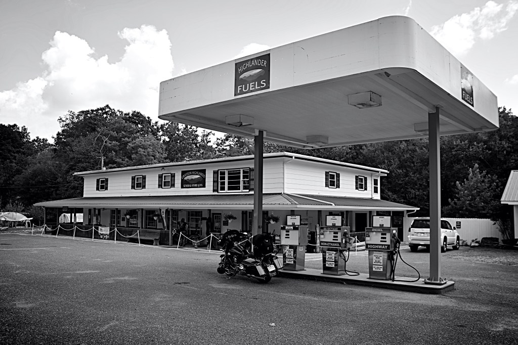
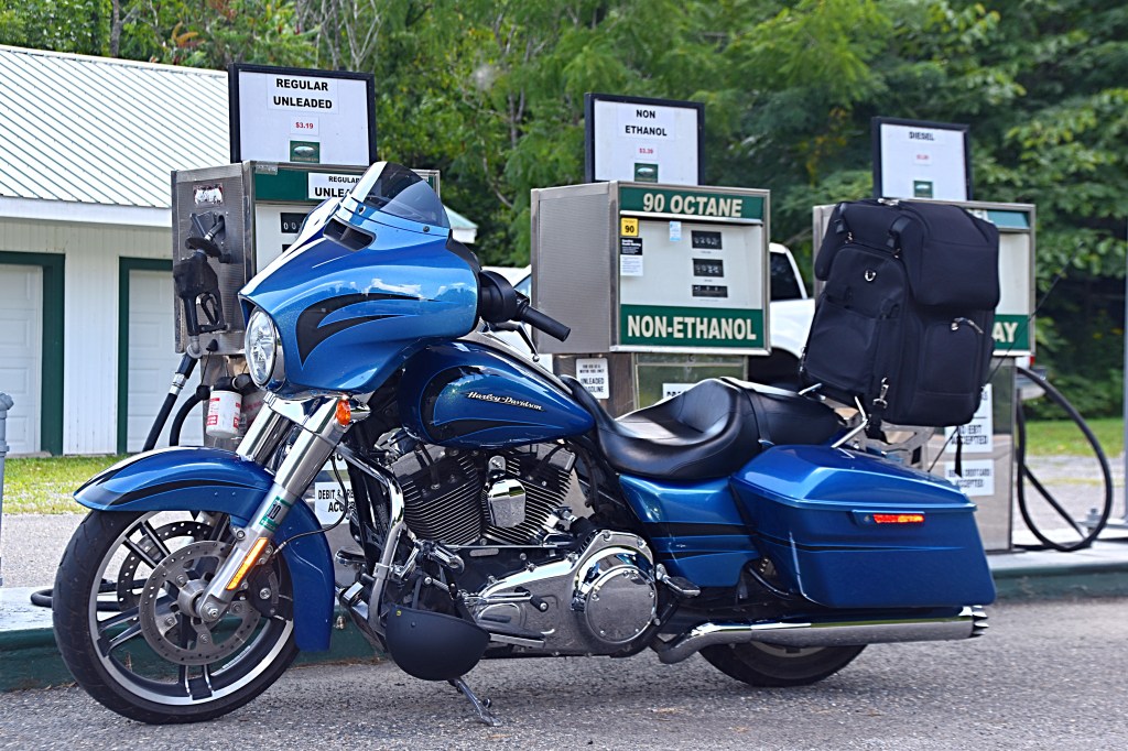
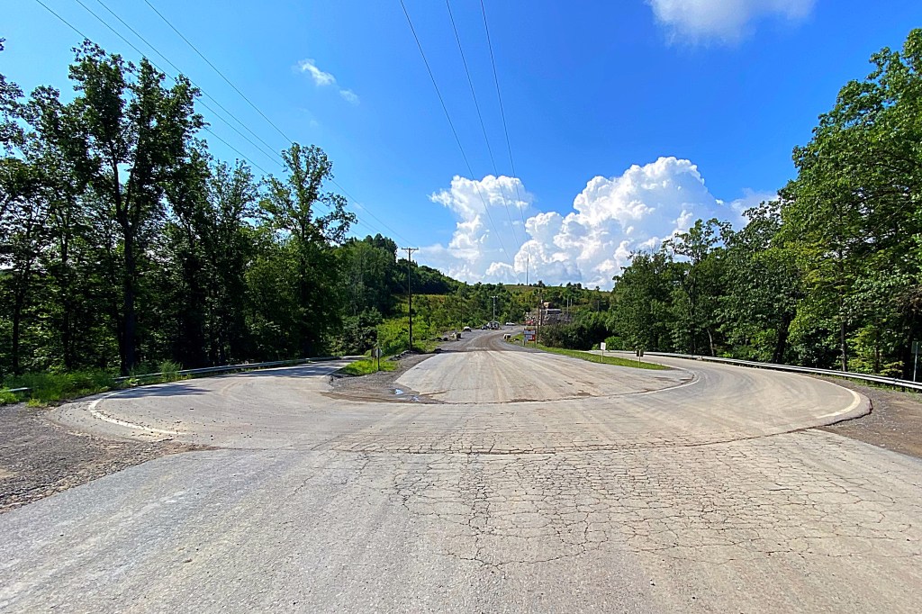
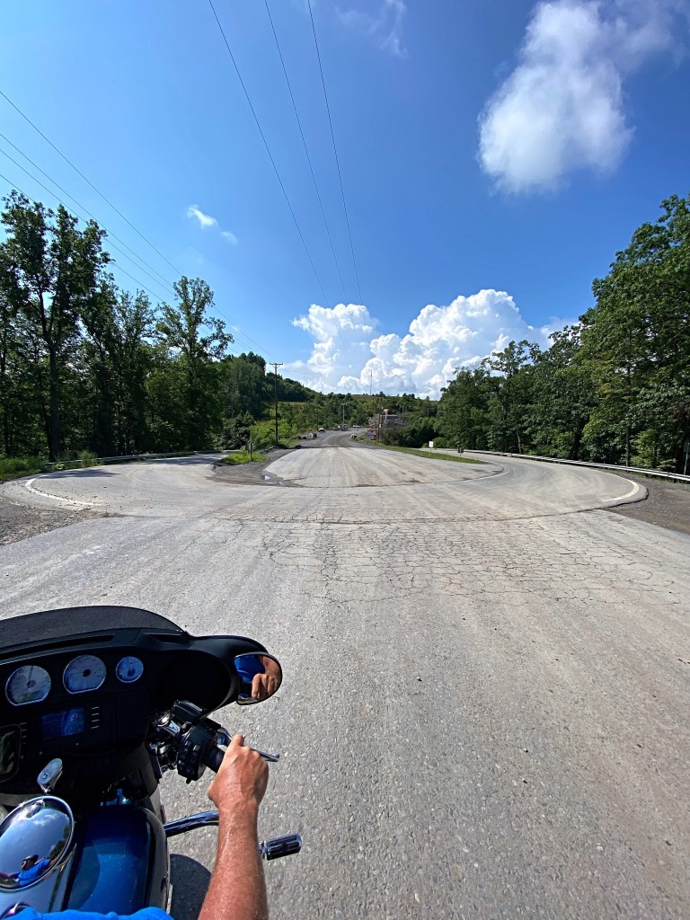
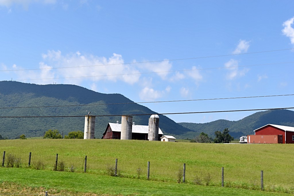
After coming back now from the visitor’s center, we headed east on Route 58. Not far from the park entrance there was a gas station with a store inside that had a little bit of everything. It made the perfect backdrop for some pictures while we fueled up, and the owner was very friendly and talkative.
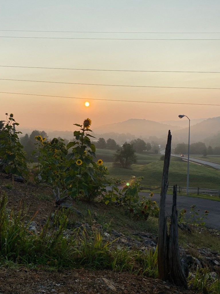
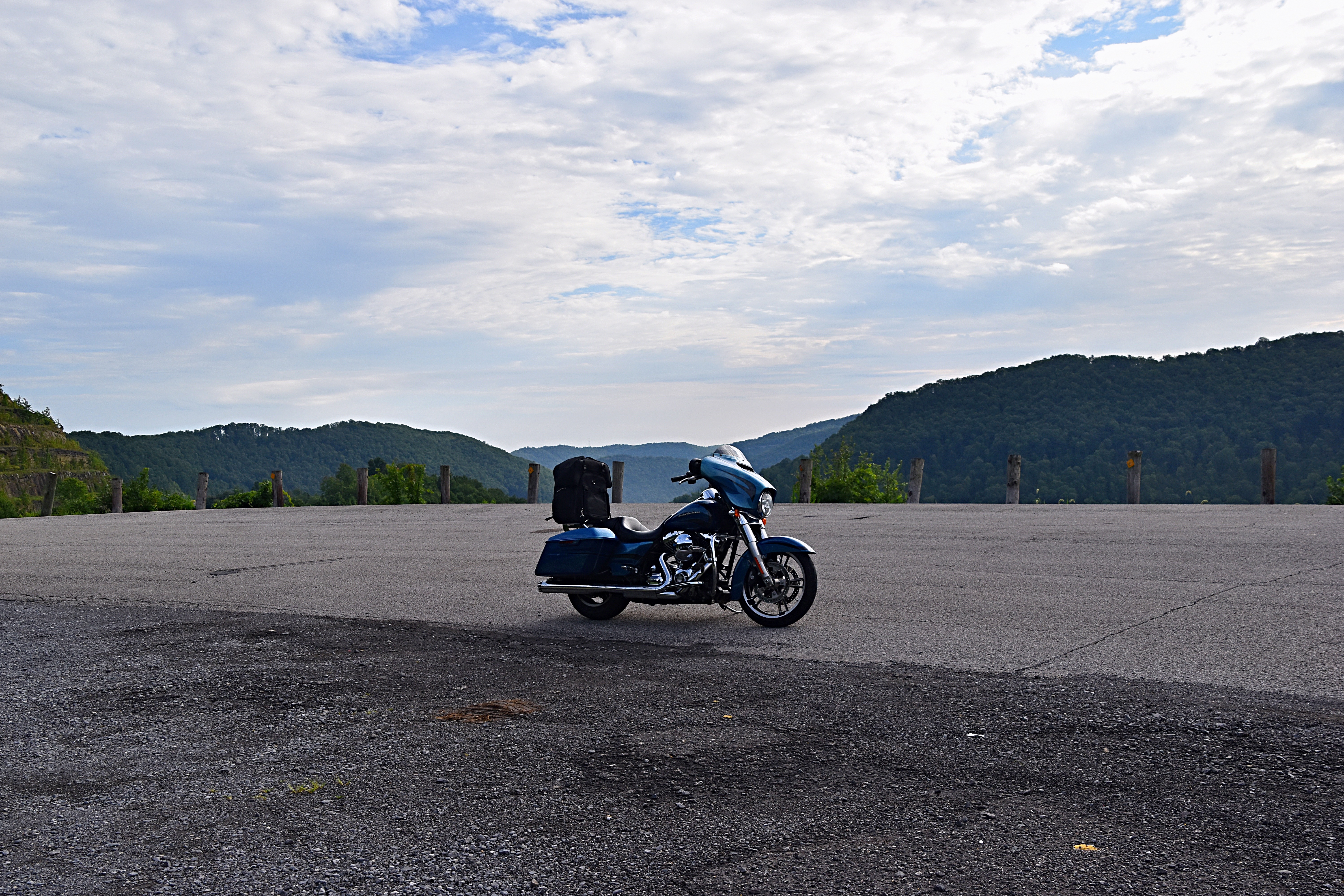
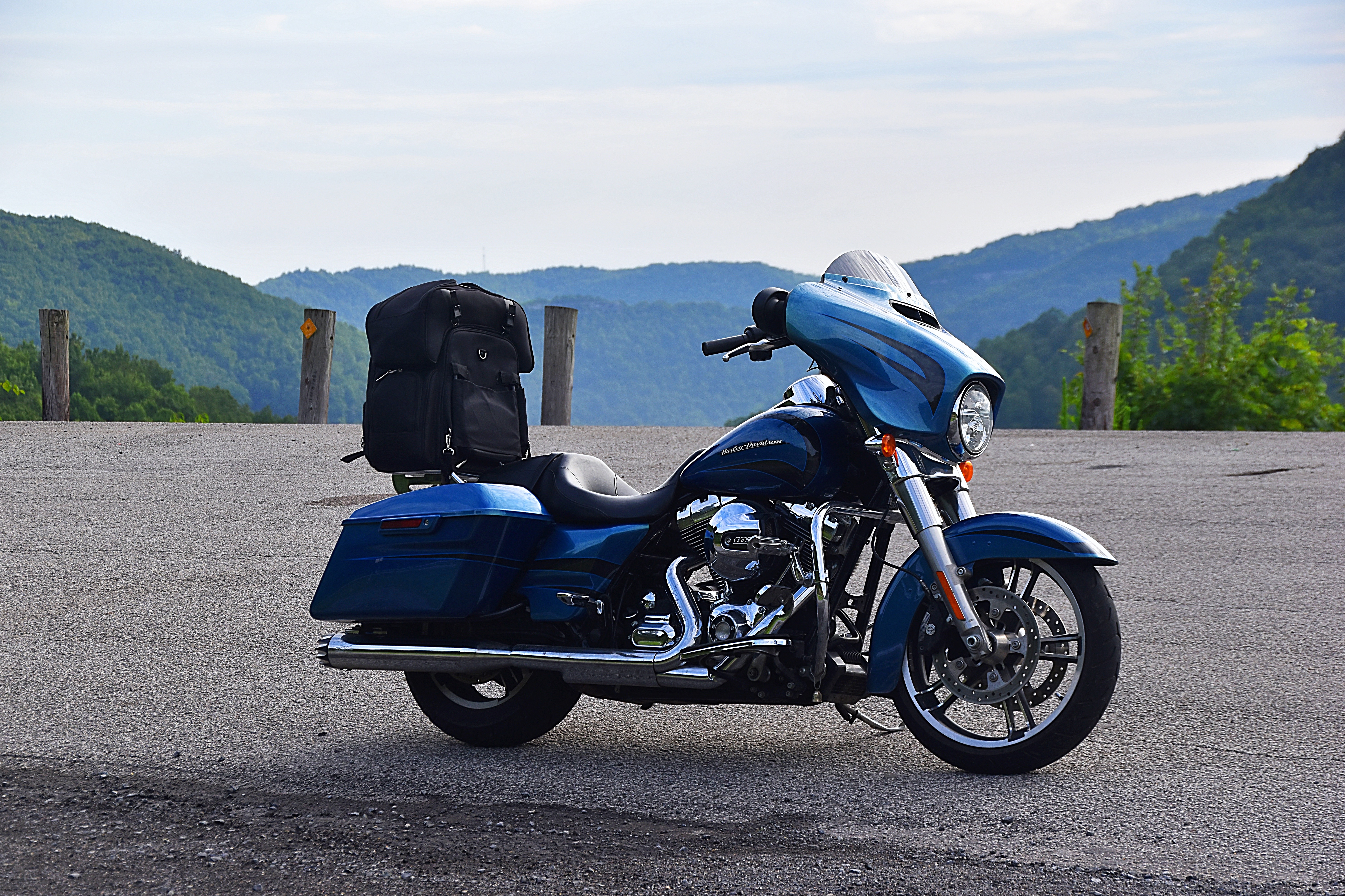
After fueling up, we continued on 58 and found a nice hotel near Hillsville to stop for the night. Total miles for Day 2 of our Claw trip were 183.
Check back for Dragon Trip part 6, our third day riding the Claw of the Dragon.
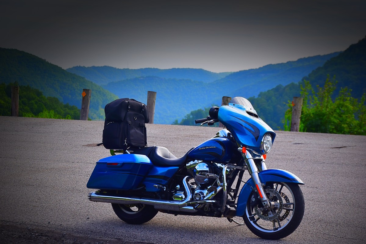
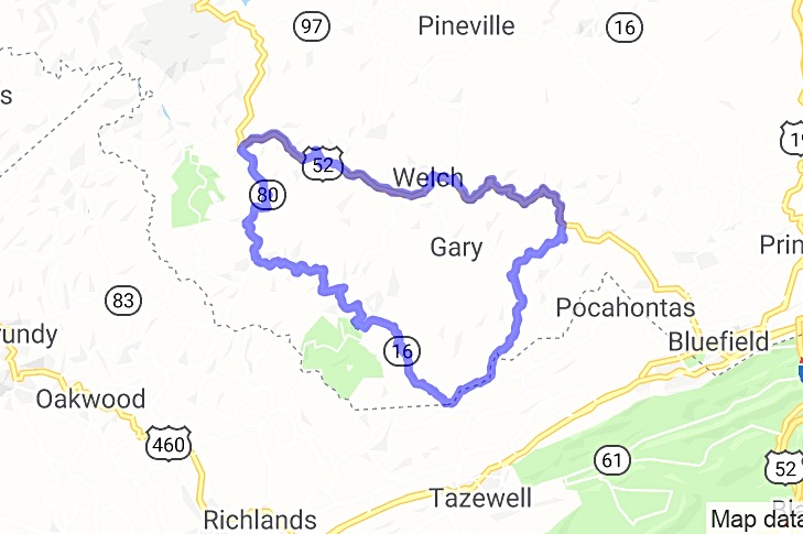
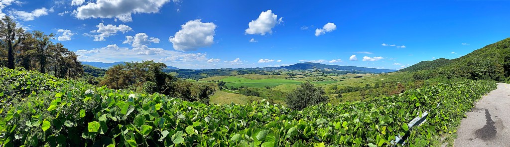
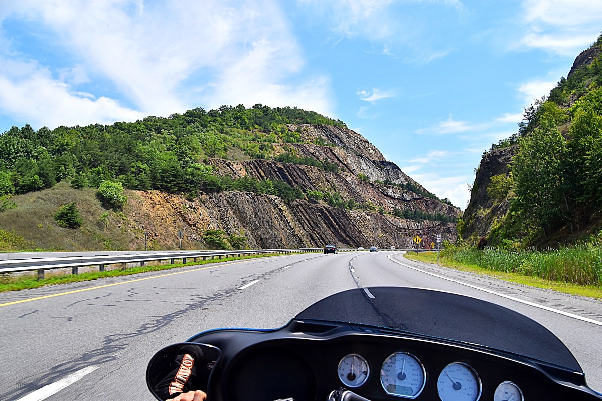
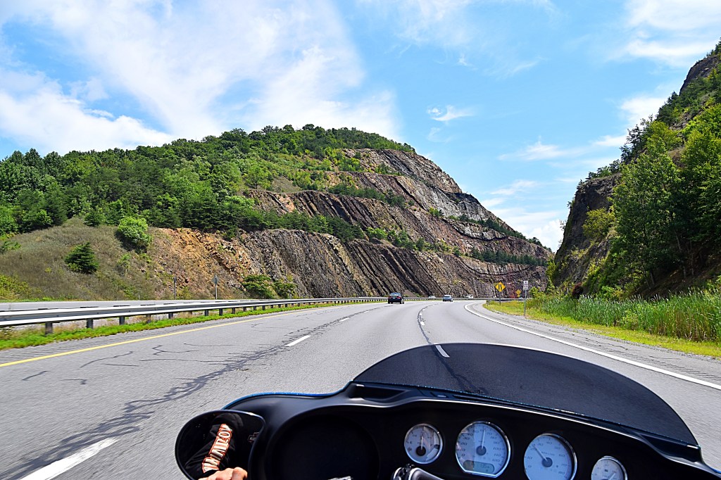
Our first trip we covered the head, neck, back and tail of the dragon. To complete the entire Dragon we took a second trip to the Claw of the Dragon. We saved the Claw for a separate trip because it is made up of 6 loops; the Wytheville, Galax, Bastian, Bland, Marion and Outer Loop. The entire Claw winds through 7 counties and totals over 350 miles. Located in Southwest Virginia the country roads of the Claw offer breathtaking views of the Blue Ridge Mountain range and surrounding countryside. There are several sources for information and maps about the Claw including the Wytheville tourism site and REVER.
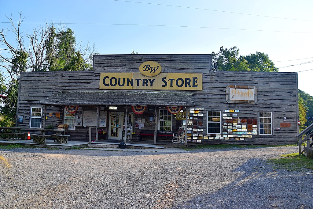
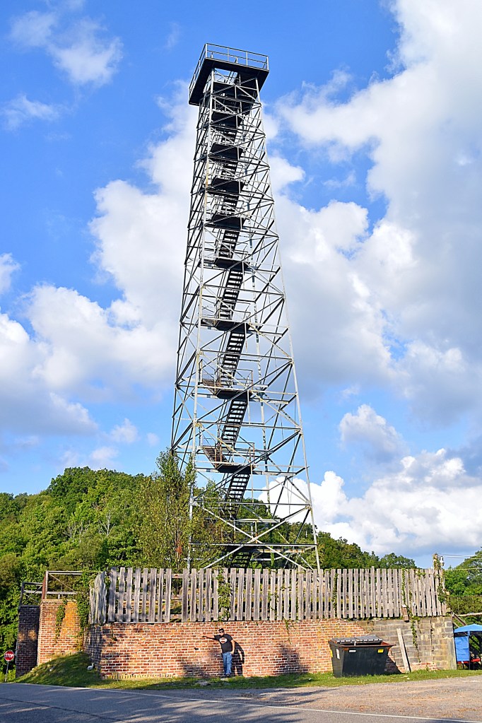
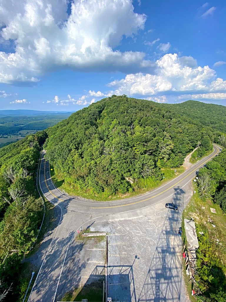
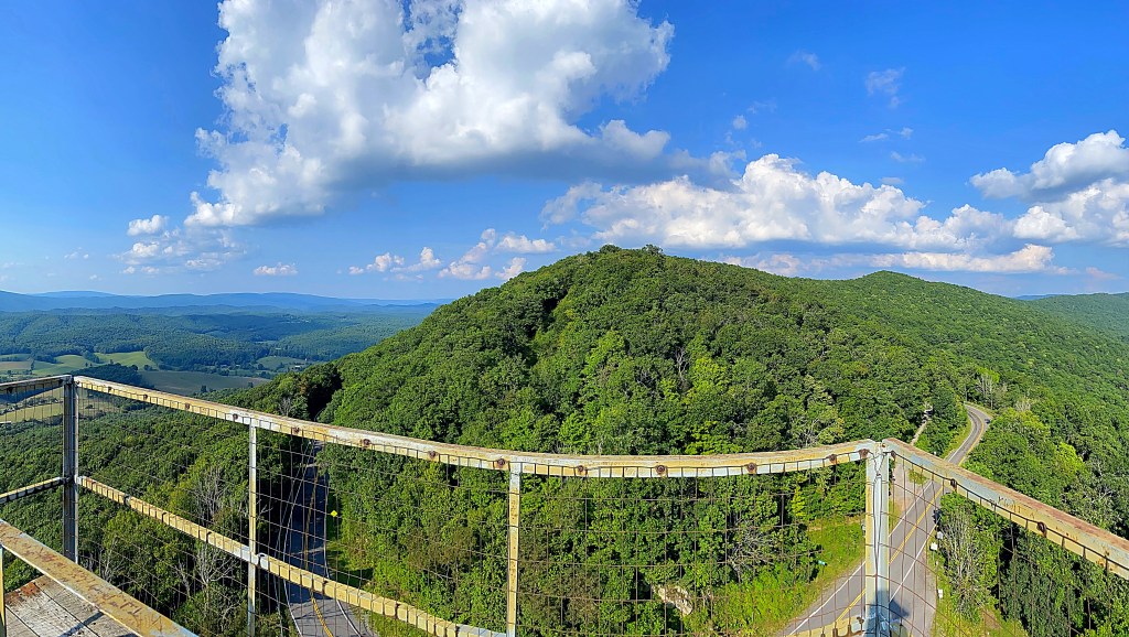
Day 1 was mainly spent traveling. The one attraction we did see the first day was Big Walker Lookout and BW Country Store. Located on the Wythe/Bland County Line, Big Walker Lookout is the highest point on the Big Walker Mountain National Scenic Byway, which is the scenic bypass for I-77.
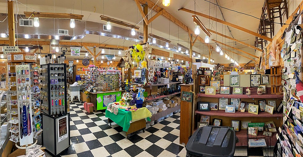
Big Walker Lookout offers amazing views from an observation tower and charming country store. The store sells a variety of items including handmade products from the Southwestern Virginia, Claw of the Dragon merchandise and my BF’s favorite part of the store…ice cream. There is plenty of seating and interesting decor to take in outside the store.
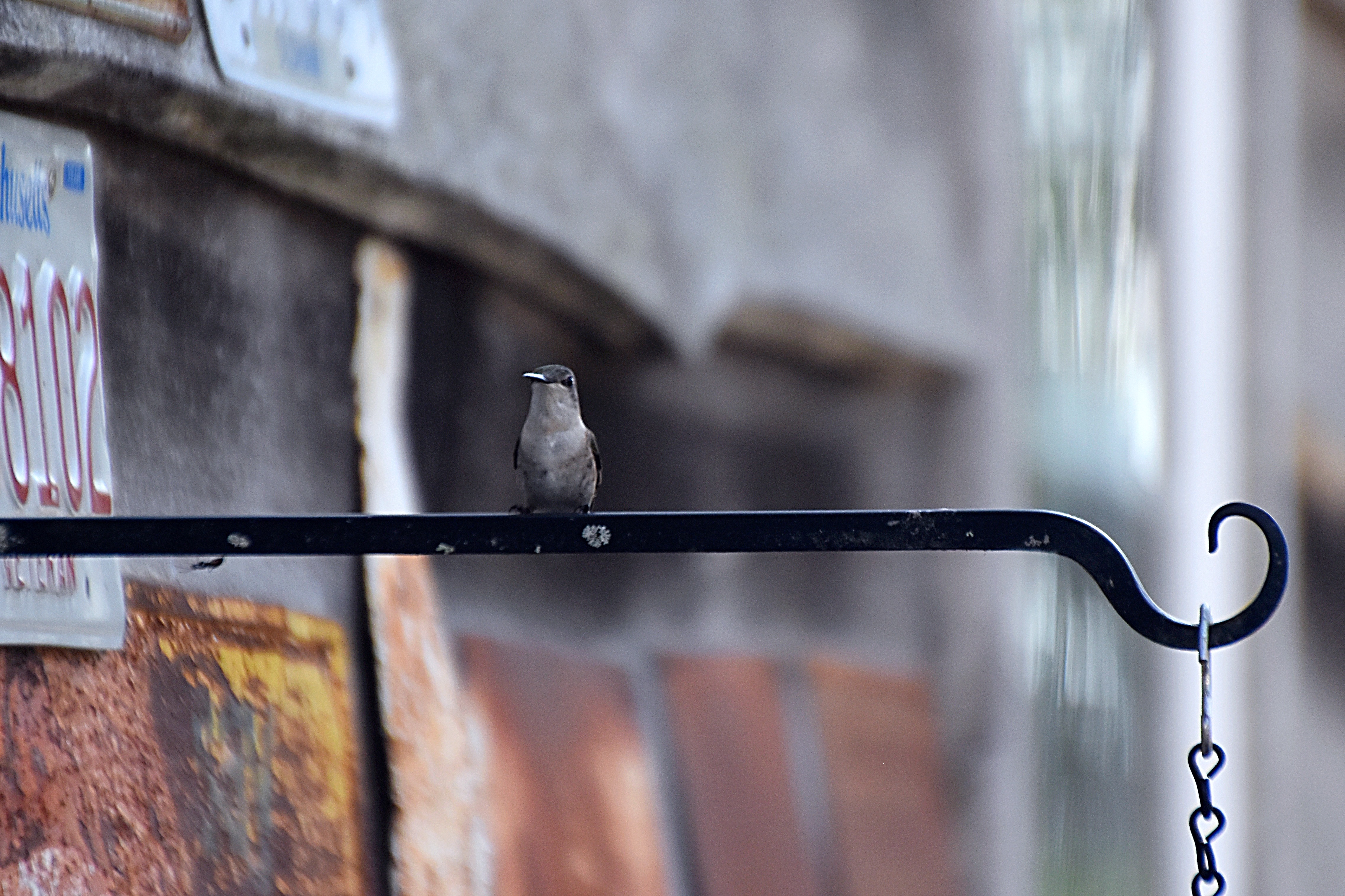
While BF was enjoying his ice cream I was able to get some great shots of a hummingbird who was also enjoying some sweet treats provided by the store.
The observation tower has been run by the same family since it was was originally built in 1947.
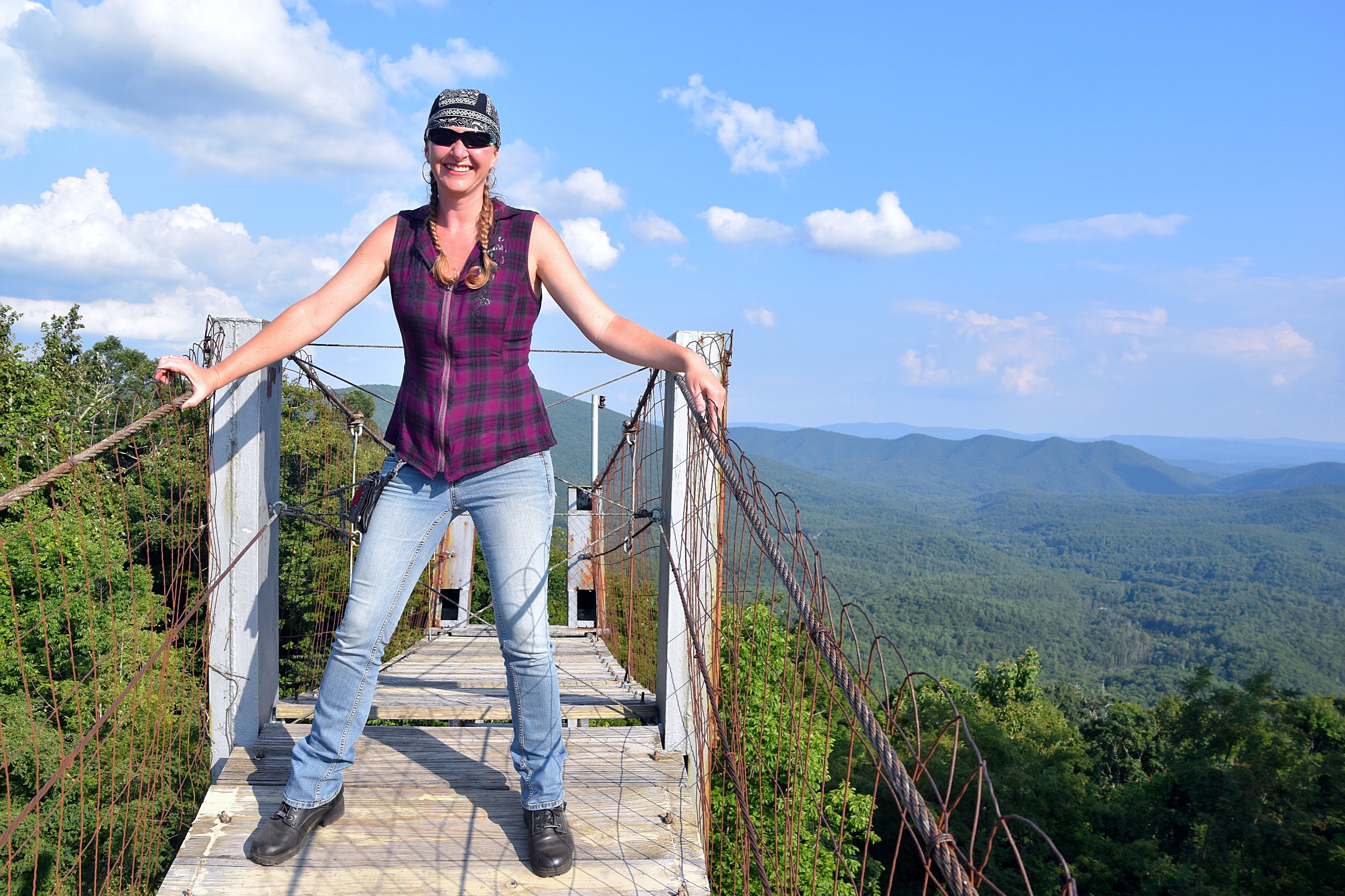
Originally, visitors crossed to the tower by way of a swinging bridge that connected to the back of the old general store, however in 2003 there was a fire that burned the original store down and a portion of the bridge. The swinging bridge that was not destroyed in the fire and still stands and offers great picture opportunities. Please overlook me being an oddball tying swing the bridge.
Located at an elevation of 3,405 feet, it is said on a clear day the 100 foot tower offers views of mountain peaks in five different states. Whether that is true or not, all I know is the climb up the tower is well worth the amazing views you get from the top.
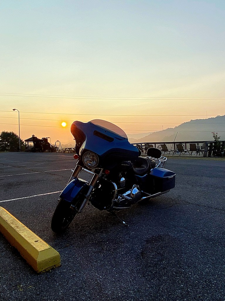
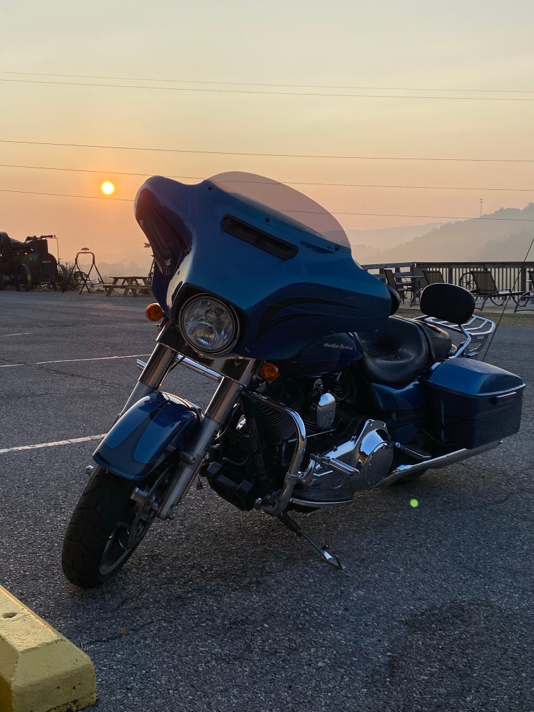
The first day we covered 389 miles. We stayed the night at a nice little place in Bland, Big Walker Motel. It was a little dated, but it was clean and a great location for this trip.
In this post I’m going to cover days 4, 5 and 6 of our trip to complete “the Dragon”. The 4th and 6th days there isn’t as much to cover so I think all three can be covered in post.
On day 4 we headed north making our way to the Head of the Dragon when we hit rain. We made it up to Bluefield, WV close to the Head of the Dragon and found a hotel to get out of the weather. We enjoyed some wings and drinks at the hotel bar then chilled out the rest of the night. Even though it was a pretty uneventful day we put on 285 miles and I did manage to snag a few pictures, including a chicken truck we quickly made our way around….that is definitely not something you want to be behind or beside when you are on a bike lol.
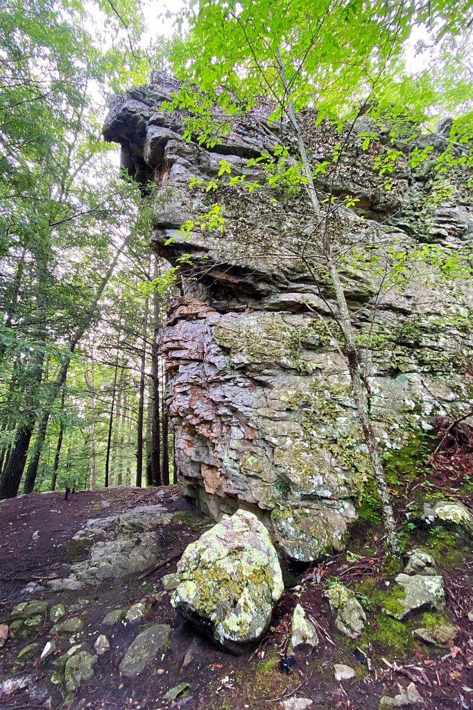
By the next day the rain had cleared up and we started towards the Head of the Dragon. On the way we stopped at Pinnacle Rock State Park located along Route 52, near historic Bramwell in Mercer County, WV. Pinnacle Rock is an unusual sandstone formation that reaches 3,100ft above sea level. The rock grain of the Allegheny Mountains runs horizontally. However, the rock grain in Pinnacle runs vertical, so it is believed the earth’s crust was broken in this area of West Virginia, standing these rocks on edge.
The Head of the Dragon was just a short ride from Pinnacle Rock State Park. The 91-mile loop located in McDowell County West Virginia is a beautiful ride amongst the Appalachian Mountains. The Head of the Dragon includes sections Route 52, Route 80, Route 83, Route 16, and Route 161, and travels through the local communities of: Welch, Iaeger, Bradshaw, War, Bishop, Elkhorn, Northfork, Keystone, and Kimball.
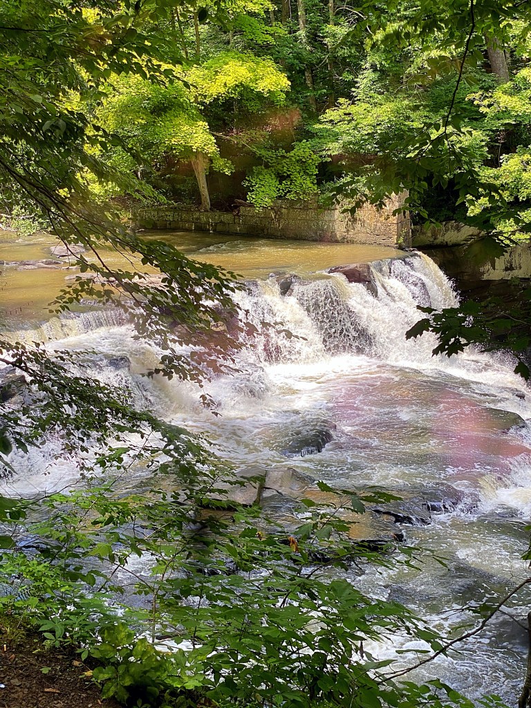
After completing the Head of the Dragon we traveled north towards Athens, WV. Close to the exit of Athens off of I-77 is Brush Creek Falls. The 33′ waterfall is a short hike, 1/4 mile, off the road down a dirt path.
A sign near the falls explains how the site was used for grist and woolen mills as early as 1851 and continuing until about 1909. It is believed that the falls trail may have been the wagon road serving the mill. Eventually the trail became the railroad bed used by the Bluestone Land and Lumber company to haul logs to a saw mill in Gardener from 1907-1916. During that time logging camp was located downstream from the falls.
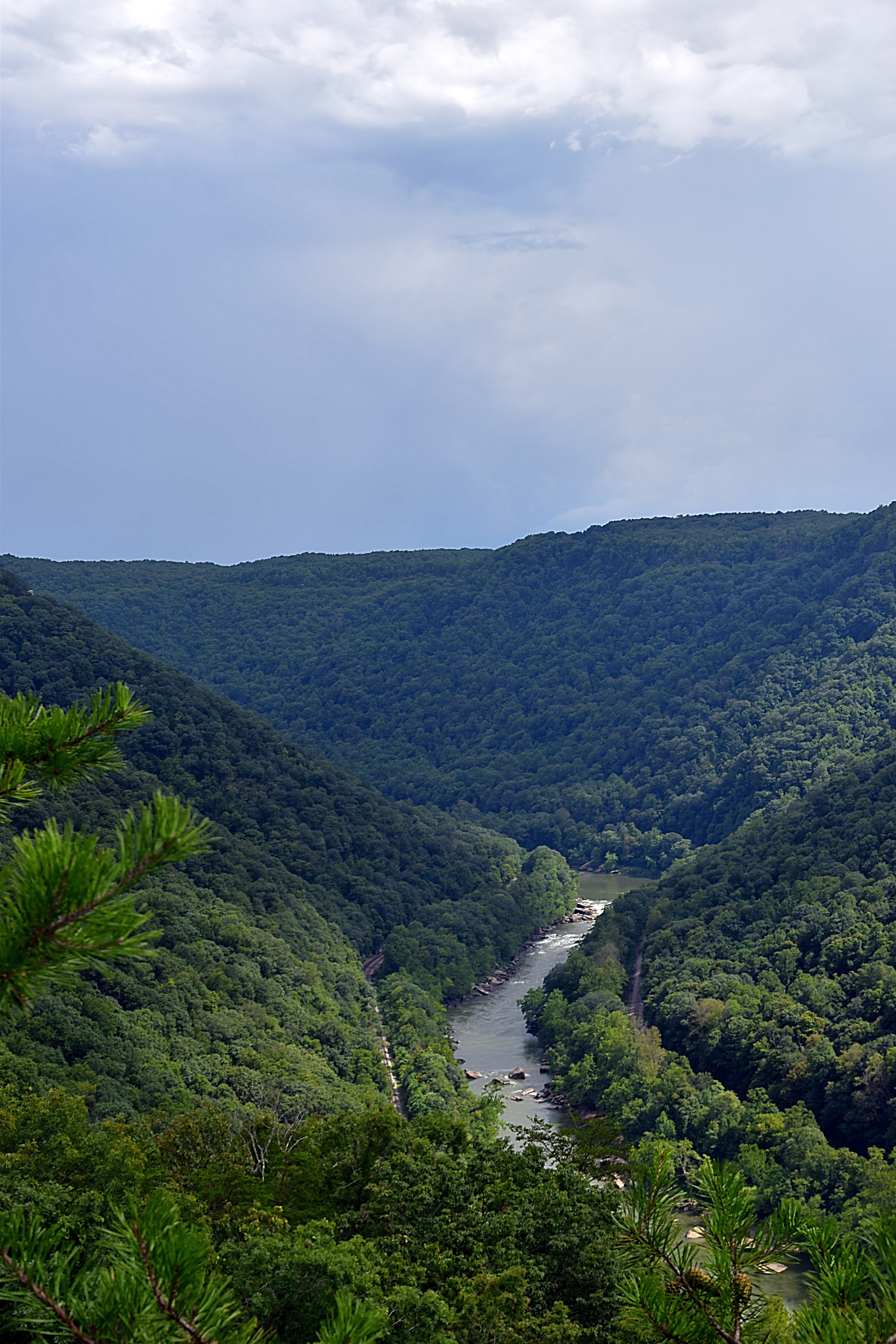
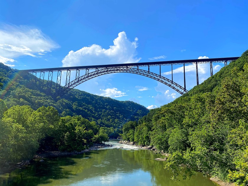
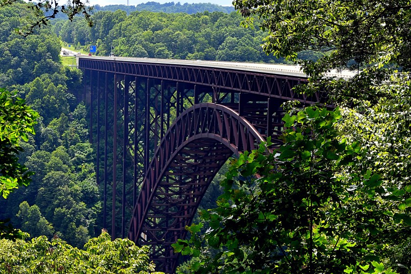
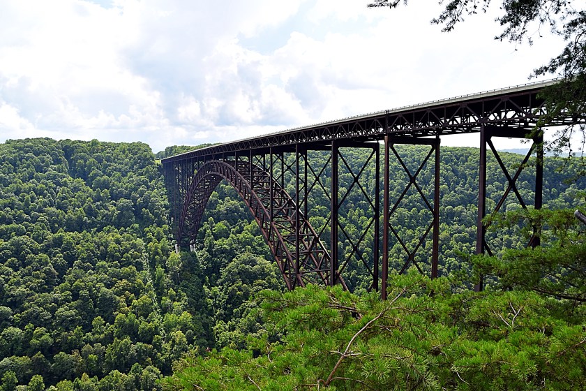
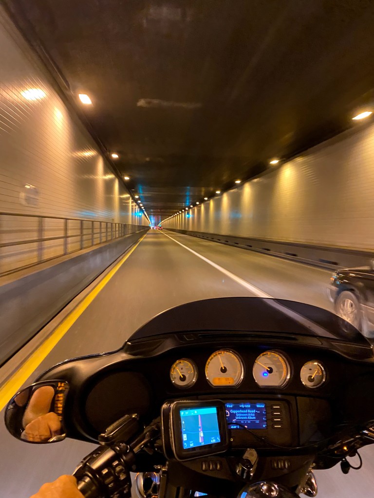
Continuing north on Route 19 our next stop was the New River Gorge Bridge. We crossed over the bridge then stopped at the Canyon Rim Visitors Center. The visitors center building was closed, but we walked down the wooded walkway to to the overlook which offered a beautiful view of the bridge and gorge.
Completed October 22, 1977, the New River Gorge Bridge is 3,032ft long and has an arch 1,700ft long. It was the world’s longest single-span arch bridge from 1977 until 2003, it’s now the 5th longest.
The roadway of the bridge is 876ft above the New River, making it the 3rd highest vehicular bridge in the US.
Some great information about the bridge can be found here as well as from the WV DOT.
After we were done there we stopped at a shop just down the road, Canyon Rim Gifts. You could actually walk to it from the visitor center parking area. Here my BF enjoyed some ice cream while I did a little shopping in the store. It was a great shop and had a little bit of everything. Every kind of West Virginia souvenir you could want, home accents, outdoor decorations….the list goes on and on. There was a lot packed into this shop and it was laid out very well. After I got my shopping fix, well at least what is feasible with the limited packing space on the bike, we hopped back on the bike and headed down towards the bottom of the gorge. The road leading down is a nice road twisting and turning along the rocks of the gorge.
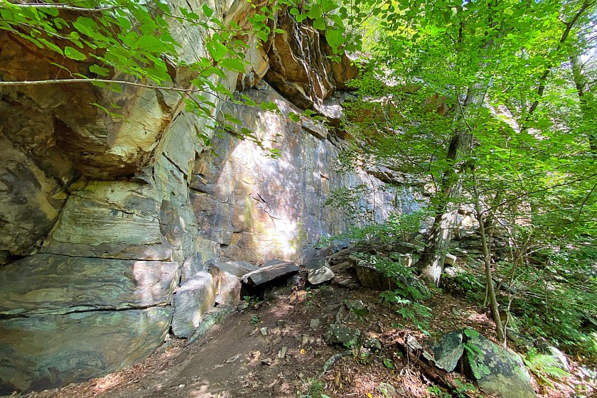
Along the way we stopped and explored some of the trails winding amongst the sandstone rocks and watched some rock climbers.
Continuing down the road we reached the the river and took a single truss bridge, Tunney Hunsaker Bridge, also known as Fayette Station Bridge across. The construction of this bridge was completed in 1889, but when the New River Gorge Bridge opened in 1977, the bridge, in a deteriorated state, was closed to traffic. Later it was rehabilitated and reopened in 1997. You can find more interesting history on this bridge here. After crossing the bridge the road wound back up the gorge to Route 19 where we crossed the New River Gorge Bridge a second time.
Taking Route 19 north we found a place to stay the night. Total mileage for day 5 was 178 miles.
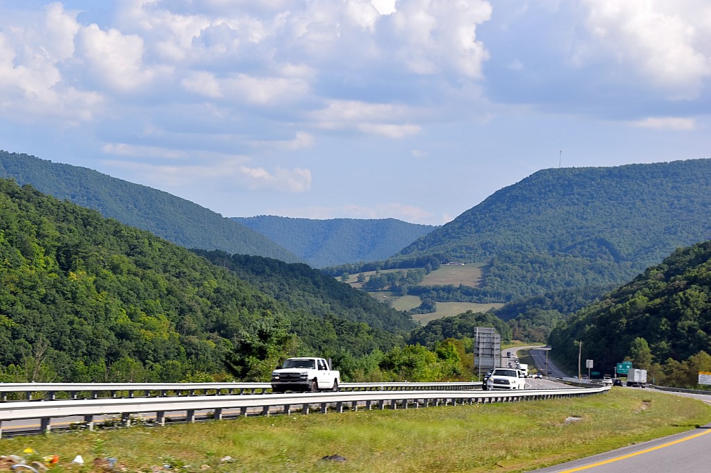
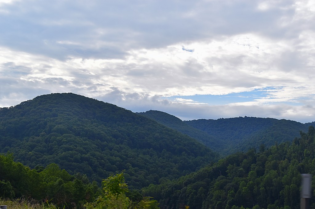
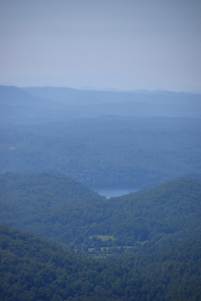
Our final day of trip 1 of the Dragon we covered a lot of ground, 252 miles. Our only site seeing stop was a scenic overlook along Route 19. This is a great place to stop and stretch a little and I was able to get some great shots.
Our total mileage for this trip was 1,683 miles. Traveling from western PA to just over the North Carolina state line and back, and completing all parts of the Dragon except the Claw. Please check back to read about our Claw of the Dragon trip, and the completion of “the Dragon”.
For my Roadtripper trips related to this post please use the links below. You will find a little variance in the original trip plans and our actual trip details. When taking any road trip the original plans tend to be just a rough itinerary that tend to change as you go….this is especially true when you are doing the trip by bike.
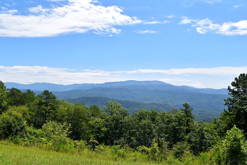
On our way to the famous Tail of the Dragon on day three we stopped at Look Rock Overlook. Located on the scenic Foothills Parkway, Look Rock Overlook provides a scenic view of the Great Smoky Mountain National Park. It was another hot day, so we decided to not take the hike to the Look Rock Tower. Which just gives us an adventure for another time.
Continuing on we reached the beginning of the famed Tail of the Dragon. Located on US Route 129, the Tail of the Dragon begins at the Tabcat Creek Bridge in Tennessee and ends in North Carolina at the intersection of NC 28 and US 129…depending on where you start. We rode it south, then back, so we could experience it both directions. Although it did not gain national attention until the 1990’s it is considered a must do at least once for most motorcycle riders because this stretch of road has 318 curves in 11 short miles and no intersecting roads.
For more details on the history of the road check out the Tail of the Dragon website.
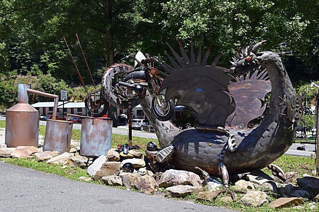
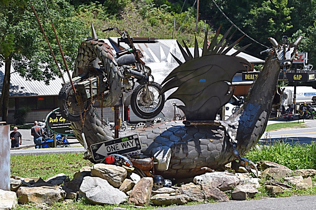
Deals Gap is located along the Tail of the Dragon at the North Carolina-Tennessee line. Here you will find the Deal’s Gap Motorcycle Resort, a place to grab a bite to eat, fill up your tank, shop for some Dragon gear, and get information about the Tail of the Dragon and other motorcycle roads in the area. There are some great maps here.
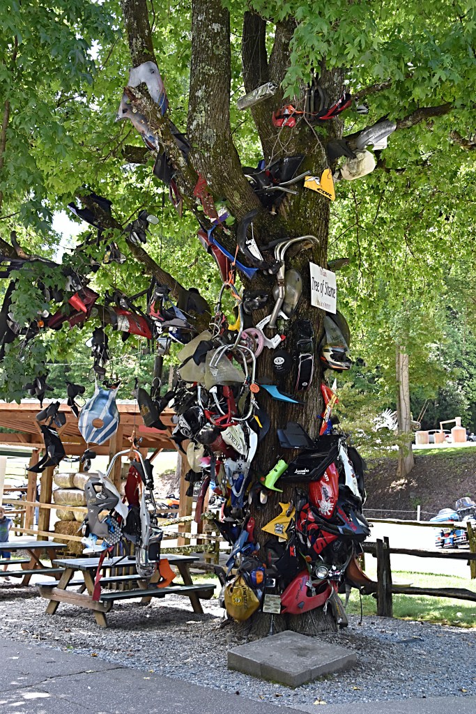
There is a lot of great photo ops at Deals Gap, including the Tree of Shame. According to the Deal’s Gap Motorcycle resort, the Tree of Shame was started in the 80’s by a group of riders, and is a makeshift shrine to those bitten by the Dragon. While its not something that anyone wants, it does happen, and when it does they have the victim sign and date a part from their bike and they add it to the tree.
The Tail of the Dragon is a beautiful ride weaving through dense forest and has several pull-offs, including the Calderwood Dam Overlook. This is a great spot to stop and get some pictures. There is plenty of room to park and the view is amazing.
Similar to the Back of the Dragon, there are photographers located along the Tail of the Dragon route that will take shots of you and post them for sale on their website. Unlike the BOTD there is a lot more information out there about these photography companies including when they will be there. When we rode there were several posted up at different spots along the road, and I did purchase a few when we got home. Some include killboy.com, 129shots.com, 129slayer.com.
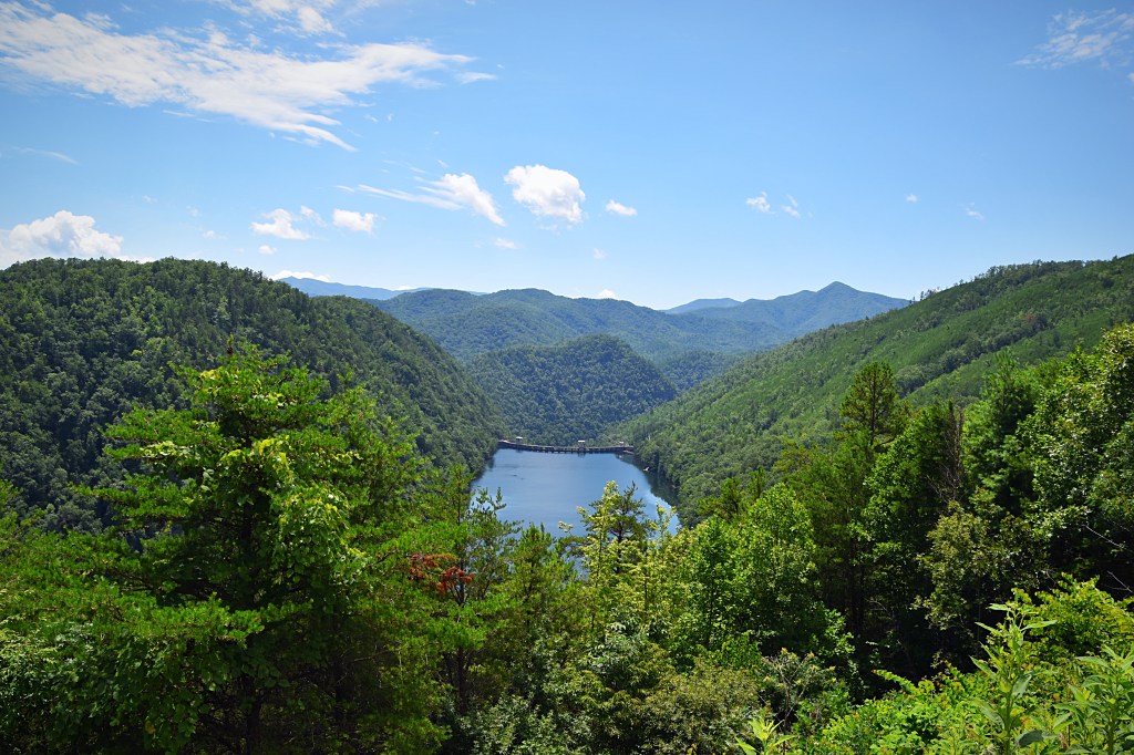
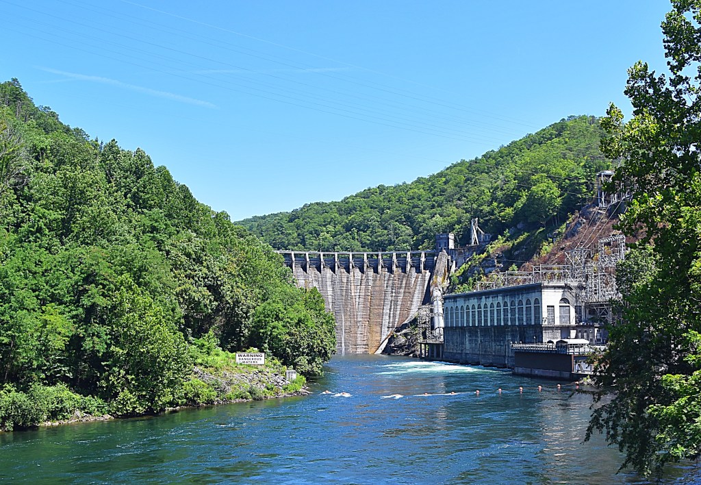
When you ride the Tail of the Dragon make sure to venture south of Deals Gap to see the 225ft Cheoah Dam. At the time of it’s construction, completed in 1919, it was the world’s tallest over-flow dam in the world. It is now on the National Register of Historic Places.
The dam was made famous in the 1993 film, The Fugitive when Harrison Ford’s character made the leap from the top of the dam to elude capture. Which is why it is often referred to as Fugitive Dam.
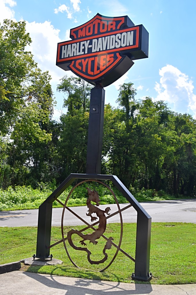
Even if you’re not a “Harley” person US 129 Dragon Harley-Davidson is located along the river and is a great spot to stop before or after you take on the Tail of the Dragon. When we stopped there as also a little mom and pop shed setup on the corner next to the HD shop selling motorcycle gear and Dragon merchandise. I’m not sure if they are still there, but if they are make sure to stop and check there little shop out too.
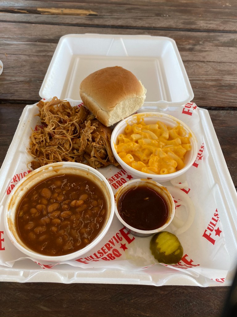
After a long day of riding, 285 miles and many sites, we started north and found some BBQ for dinner and a comfy bed to rest up for the next day.
Please check back for the next part of our adventure.
Below are the links my Roadtripper trips related to this post:
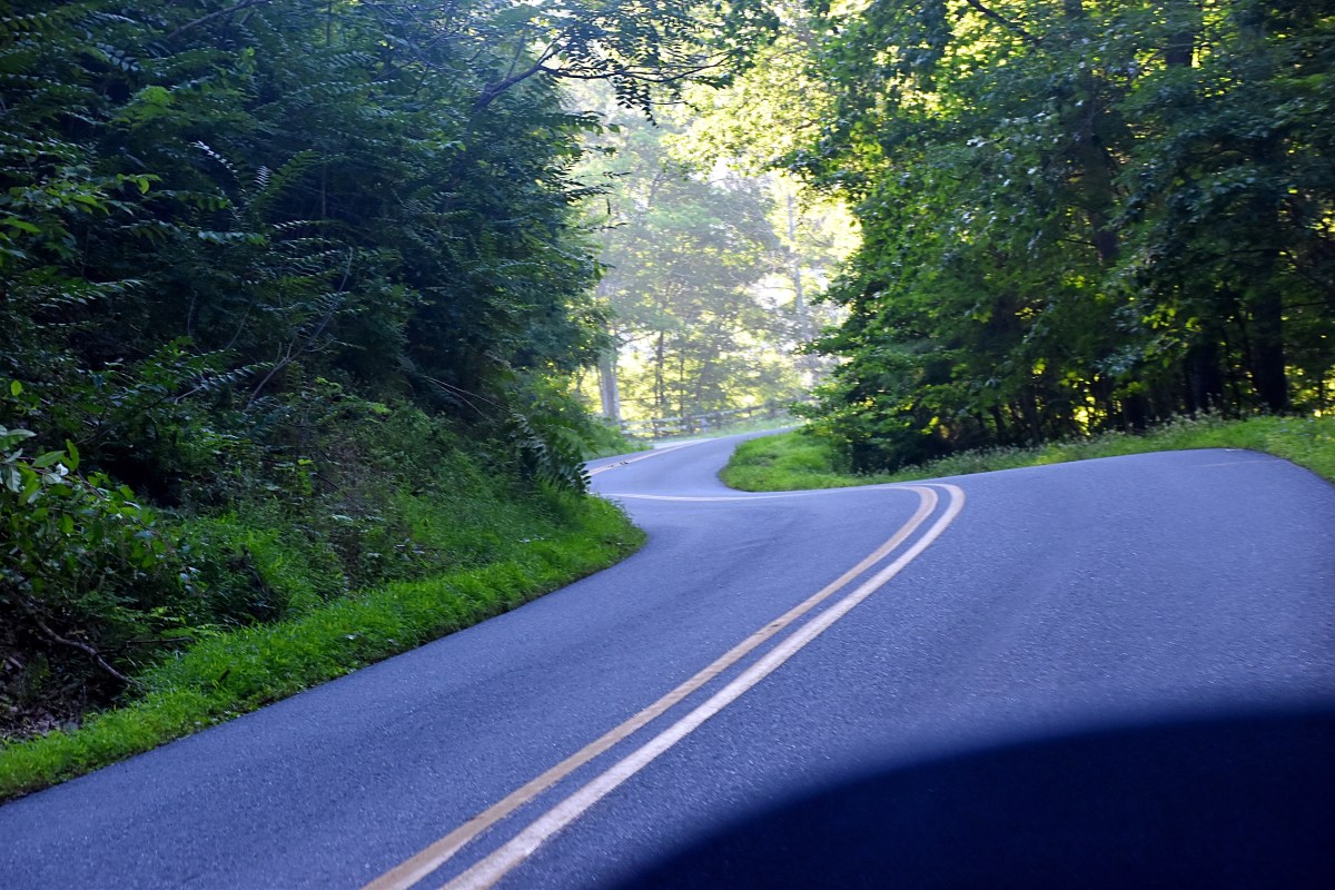
On day two of the Dragon trip we started with the Neck of the Dragon, which was just a short drive from where we had spent the night. The Neck, Rt. 56, is a scenic stretch of road that runs between Vesuvius, VA to Tyro, VA. With 220 curves in 12 miles this is a perfect motorcycle road. There isn’t much information out there about the Neck of the Dragon aside from an out-of-date Facebook page, but do not let that stop you from checking it out is is absolutely beautiful.
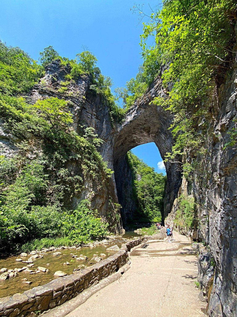
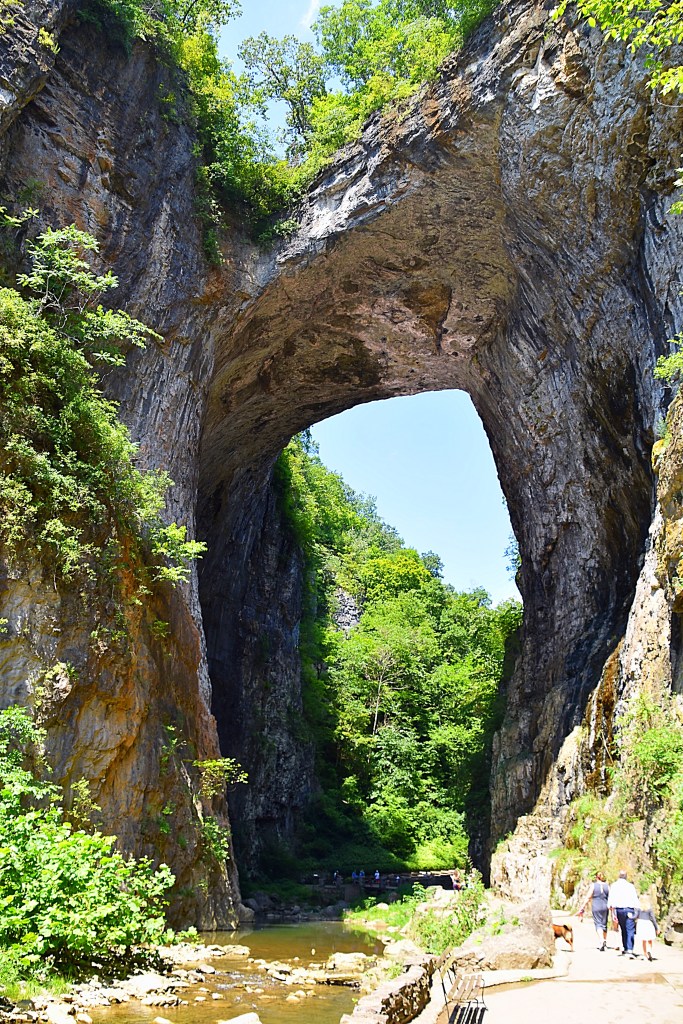
After the Neck of the Dragon we made our way towards the Back of the Dragon. Along the we stopped at Natural Bridge and the East River Mountain Overlook. Natural Bridge is a a natural arch within a limestone gorge formed by Cedar Creek. It is located at the junction of U.S Route 11 and State Route 130 in an unincorporated community in Rockbridge County Virginia named after the arch itself, Natural Bridge, VA. The arch can actually be driven across via U.S. Route 11.
The Natural Bridge is 215ft high, 40ft thick, 100ft wide and spans 90ft between the gorge walls. The arch contains 450,000 cu ft of rock weighing 36,000 ton and is estimated to be at least 500 million years old. At it’s peak, the bridge is 1,160ft above sea level.
On July 5, 1774, Thomas Jefferson purchased Natural Bridge and 157 surrounding acres for the equivalent of about $2.40.
Tickets must be purchased to view see this landmark, but they also give you access to the full Natural Bridge State Park. During on our visit we only took the trail to the arch and did not take in all the other sites of the park. It was a hot day and we were dressed for the ride, not the hike. I was glad we stopped and at least made the hike to see the Natural Bridge though….it was worth the sweat haha. I would like to go back and check out all that the Natural Bridge park and area has to offer. More information can be found here.
The East River Mountain Overlook is located in Bluefield, West Virginia. The overlook is on top of East River Mountain on Rt. 52, which was the main route south from the region before Interstate 77 was completed in 1974. Before Interstate 77 opened and the flow of traffic across the mountain dropped the overlook was home to the Ridge Runner, the “smallest railroad in the world,” The Ridge Runner was purchased and moved to the Bluefield City Park by the City of Bluefield in 1984. In September of 2022 the overlook officially became part of the Coal Heritage Trail with signage that also tells the site’s history.
The overlook not only offers a beautiful panoramic view of Bluefield and the surrounding mountains it also has a picnic area tucked in amongst the trees. Although we didn’t have a picnic with us on our visit it was a nice spot to stop to take in the view, then get out of the sun and relax for awhile in the picnic area.
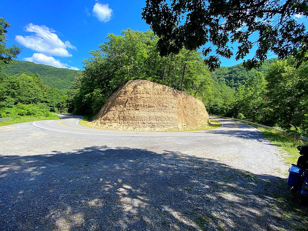
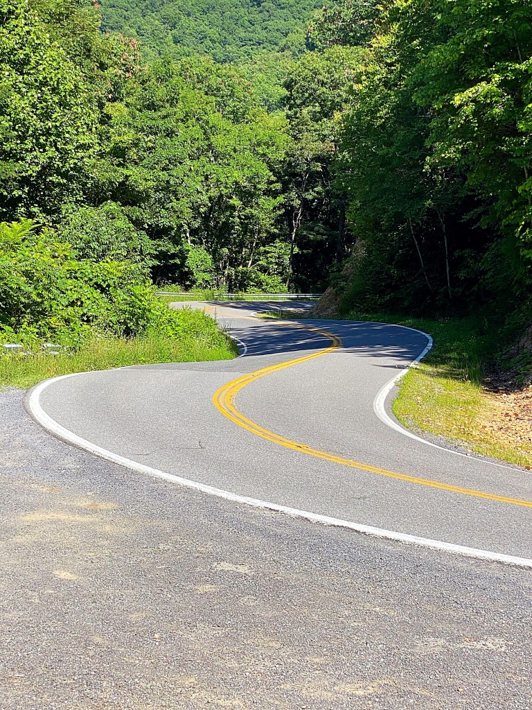
After taking a little break at the overlook we headed towards the Back of the Dragon. Nestled in the Appalachian Mountains the Back of the Dragon lies between Tazwell and Marion, Virginia on Route 16. The road crosses three mountain ranges and offers 32 miles of switchbacks, sweeps, and hairpins. The curve tally is widely varies…between 260 to over 400 depending on what source you reference.
The Back of the Dragon winds through Hungry Mother State Park, and parts of Washington and Jefferson National Forest offering absolutely breathtaking views.
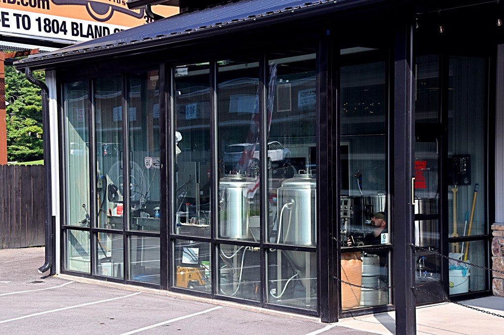
Whether your ride starts or ends in Tazwell make sure to stop in the Back of the Dragon shop. Here you can pick up some great BOTD merchandise, have a craft beer, or if coffee is more your style they have that too. The shop and their website also document the interesting history of the Back of the Dragon.
At various times throughout the the week/weekend there is also a photographer along the road that will capture you riding the Back of the Dragon, then you can purchase them from their website, BOTDPix. Unfortunately, I was not able to find much information about when and where the photographer would be during our trip, so we did not get any of these. If we go again I will contact the Back of the Dragon shop to get more information on the time and locations so we can plan accordingly.
On day two we traveled over 290 miles, and I took over 200 pictures.
Check back for part three of the Dragon.
For a lot of my trips I use Roadtrippers to lay them out. You can find the ones related to this post below.
Living in Pennsylvania I tend not to go on as many adventures during the winter months because I’m not a fan of the cold. However, this gives me an opportunity to share some of my past ones. The first one I’d like to share is The Dragon.
One of my favorite ways to see new places is traveling by bike. And no I don’t mean the ones you have to pedal. I think it’s great for those who do, but this gal just doesn’t have that much energy lol. I’m talking about motorcycles. Well, one day my bf was telling about the Tail of the Dragon. A section of road that almost all motorcycle riders have heard of and many have experienced, and how he’d like to do it. Me being the person I am, I started doing my research. I came back to him and said “you do know there is an entire dragon, right?”. Well he didn’t, and as we’ve come to find out most people do not. So instead of just experiencing the Tail of the Dragon, we took on the entire Dragon.
The Dragon is made up of the famous Tail of the Dragon, Back of the Dragon, Head of the Dragon, Neck of the Dragon and the Claw of the Dragon. The Claw of the Dragon is actually made of multiple loops so we decided to divide our “Dragon Adventure” into two trips. The first year we did everything but the Claw and the second year we did the Claw. I’m going to break our trips into multiple posts because there are a lot of miles and sites to cover. In this post I’ll just give you and an overview.
The Neck, Back and Claw are all located in Viginia, the Tail is in Tennessee and the Head is in West Virginia. I laid out our trip so thet we would do the Neck, then travel down the Back, make our way to the Tail, then do the Head on the way back home. Again, the Claw we left for our second trip.
The first day we traveled from western PA to a hotel in Staunton, VA close to the Neck of the Dragon. I planned it this way so we could get a good nights sleep and be bright-eyed and bushy-tailed for the true beginning of our adventure the next day. It was a lot of miles to cover so there weren’t many stops on the way down, but it was a beautiful ride.