Dragon P8

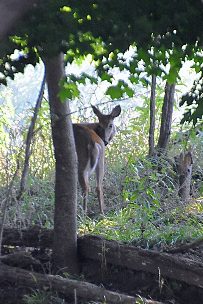
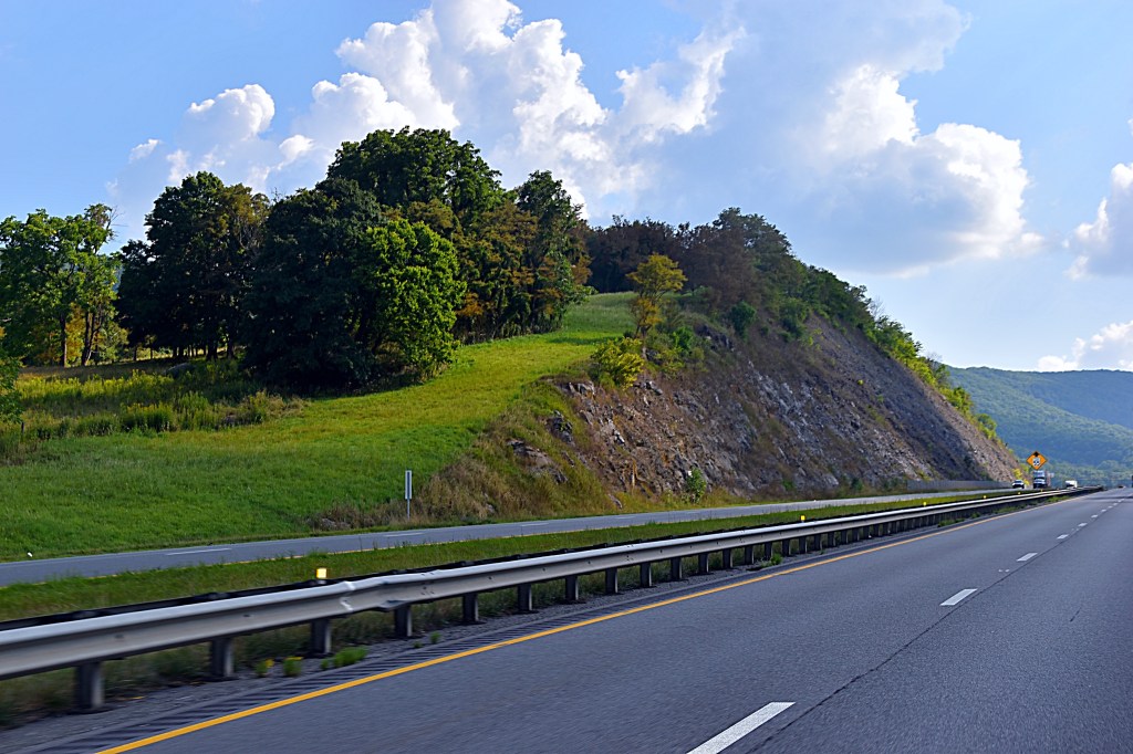
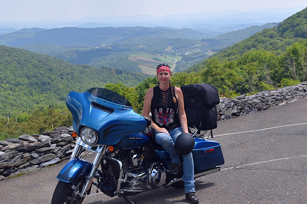
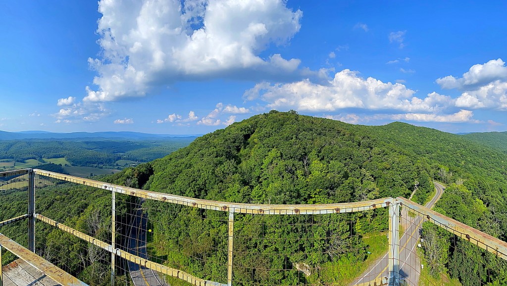
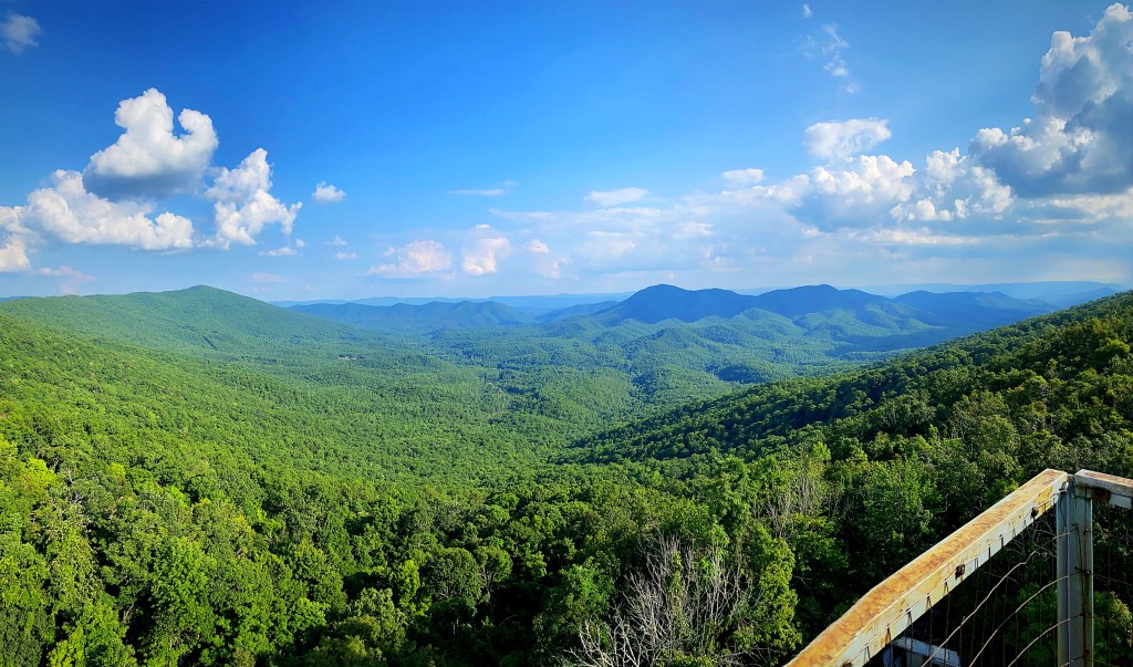
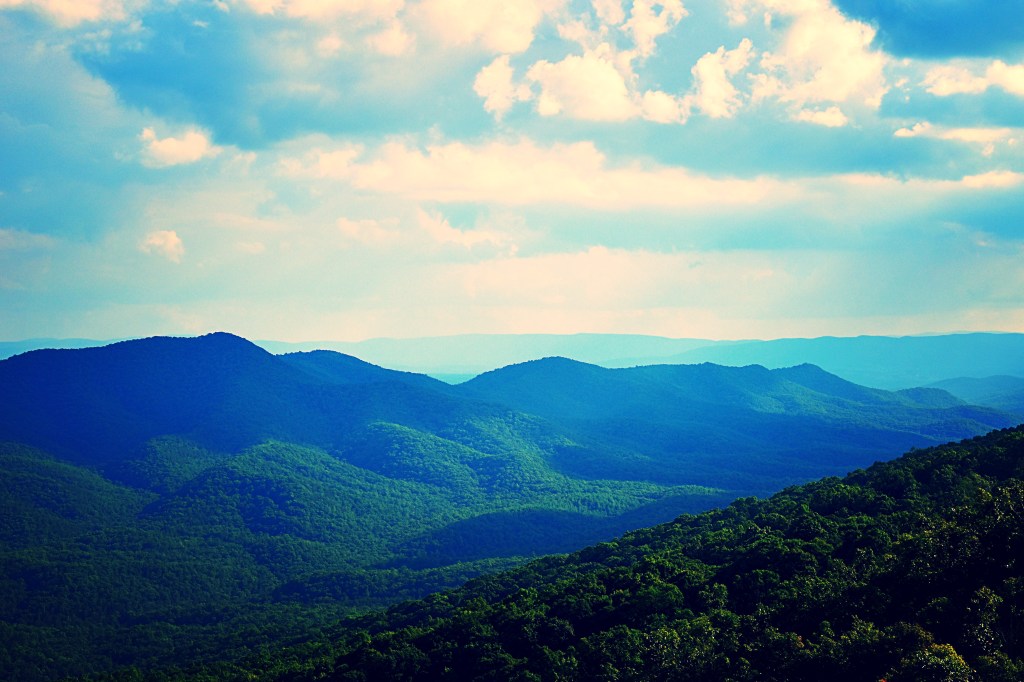
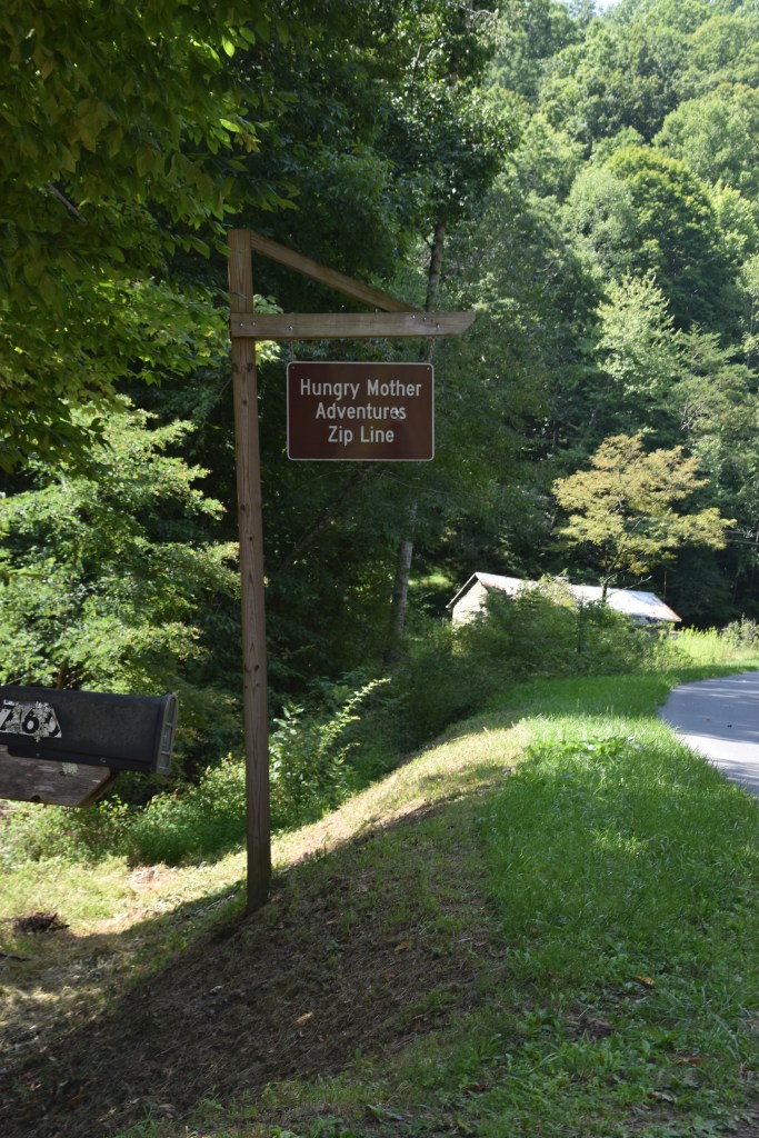
Day 4 of our Claw of the Dragon trip finished up the actual Claw. This day I had scheduled a zip line tour with Hungry Mother Adventure. We had a great time, unfortunately I did not get any pictures while we were zipling.

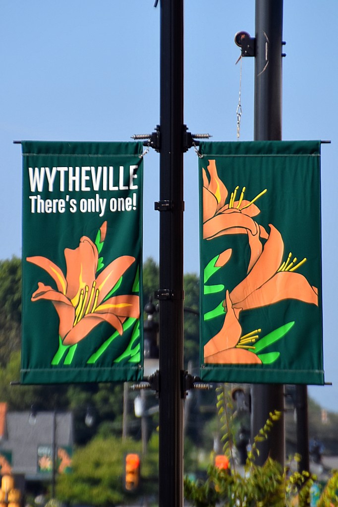
In the morning we had some time before our reservation so we did some exploring in Wytheville, VA. When you approach the town you can’t miss the hot-air-balloon-themed water tower with the town name on it. Also throughout the town you will see signs with the town name and the slogan, “There’s only one!” This is because if you do a search you will find that while most city names are used more than once the city of Wytheville only exists in Virginia.

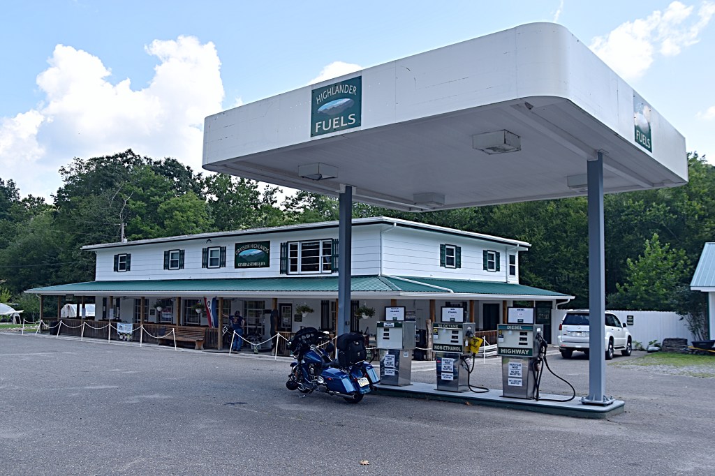
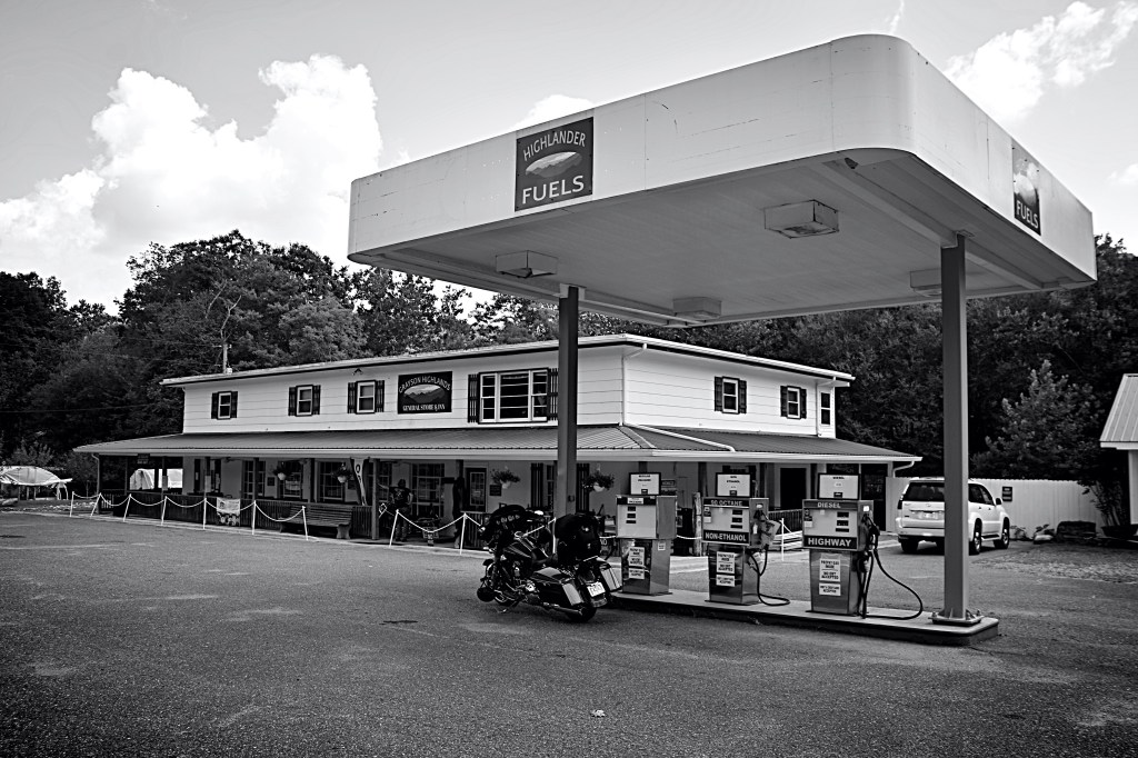
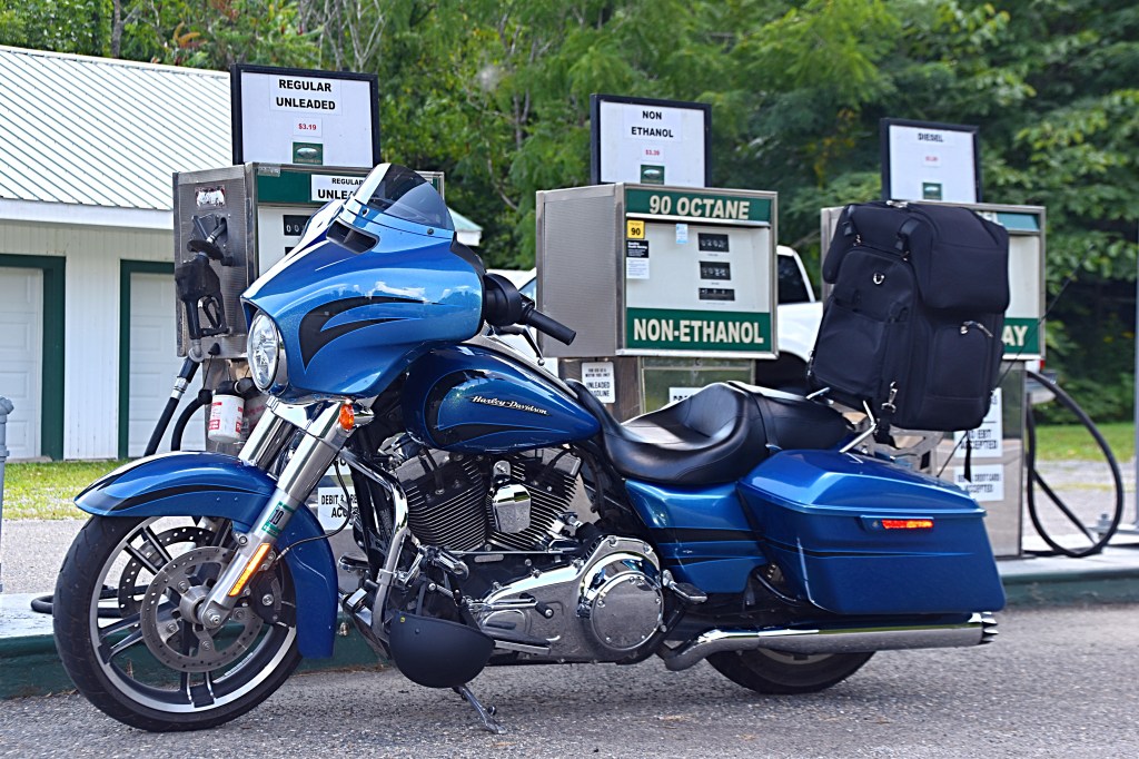
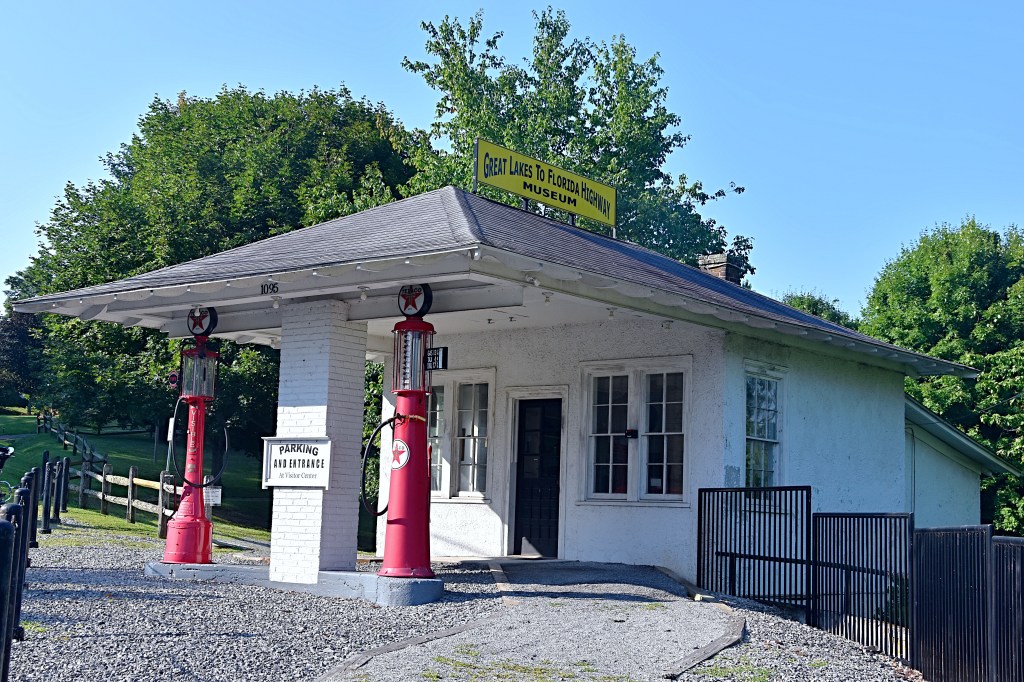
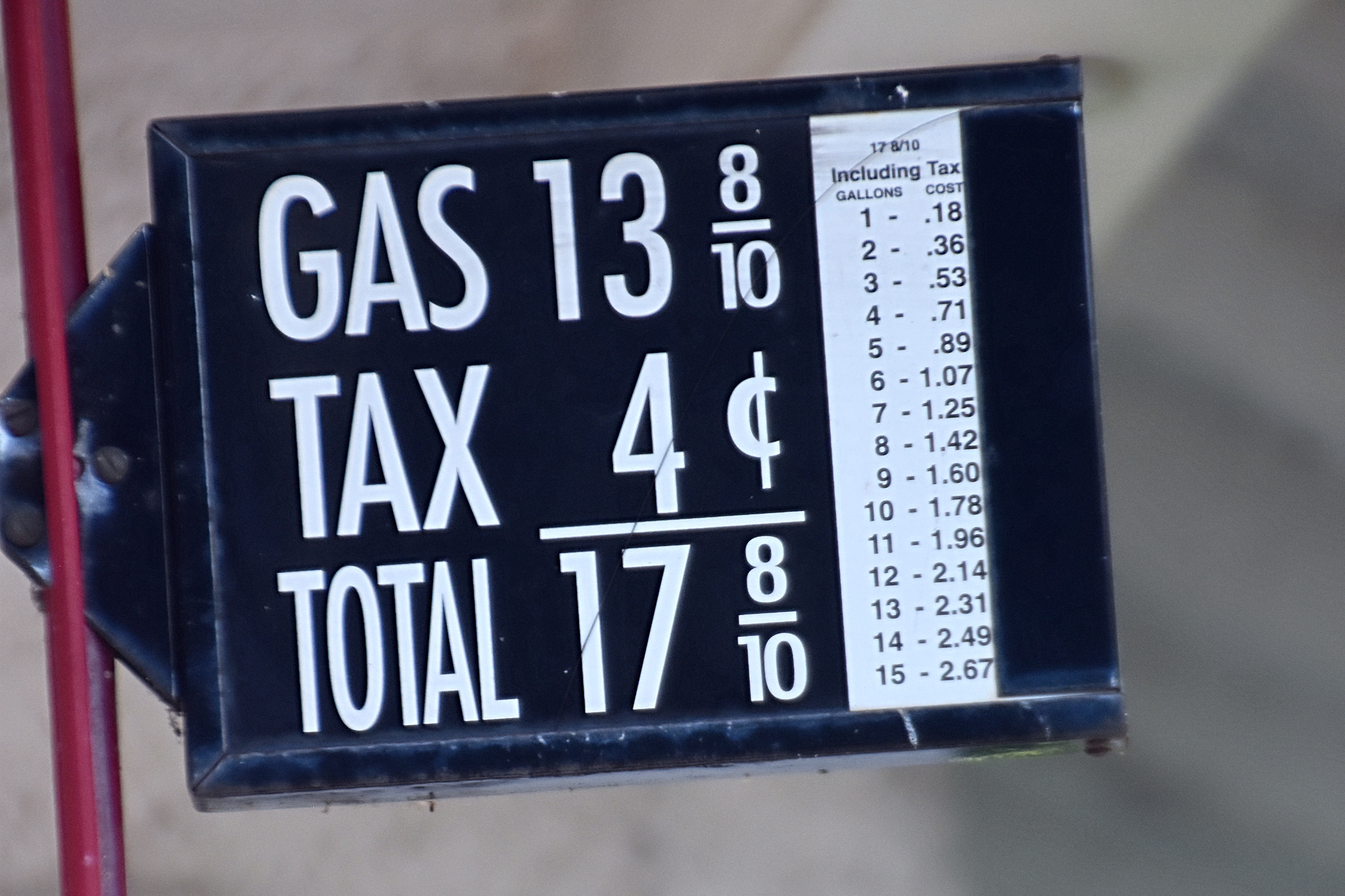
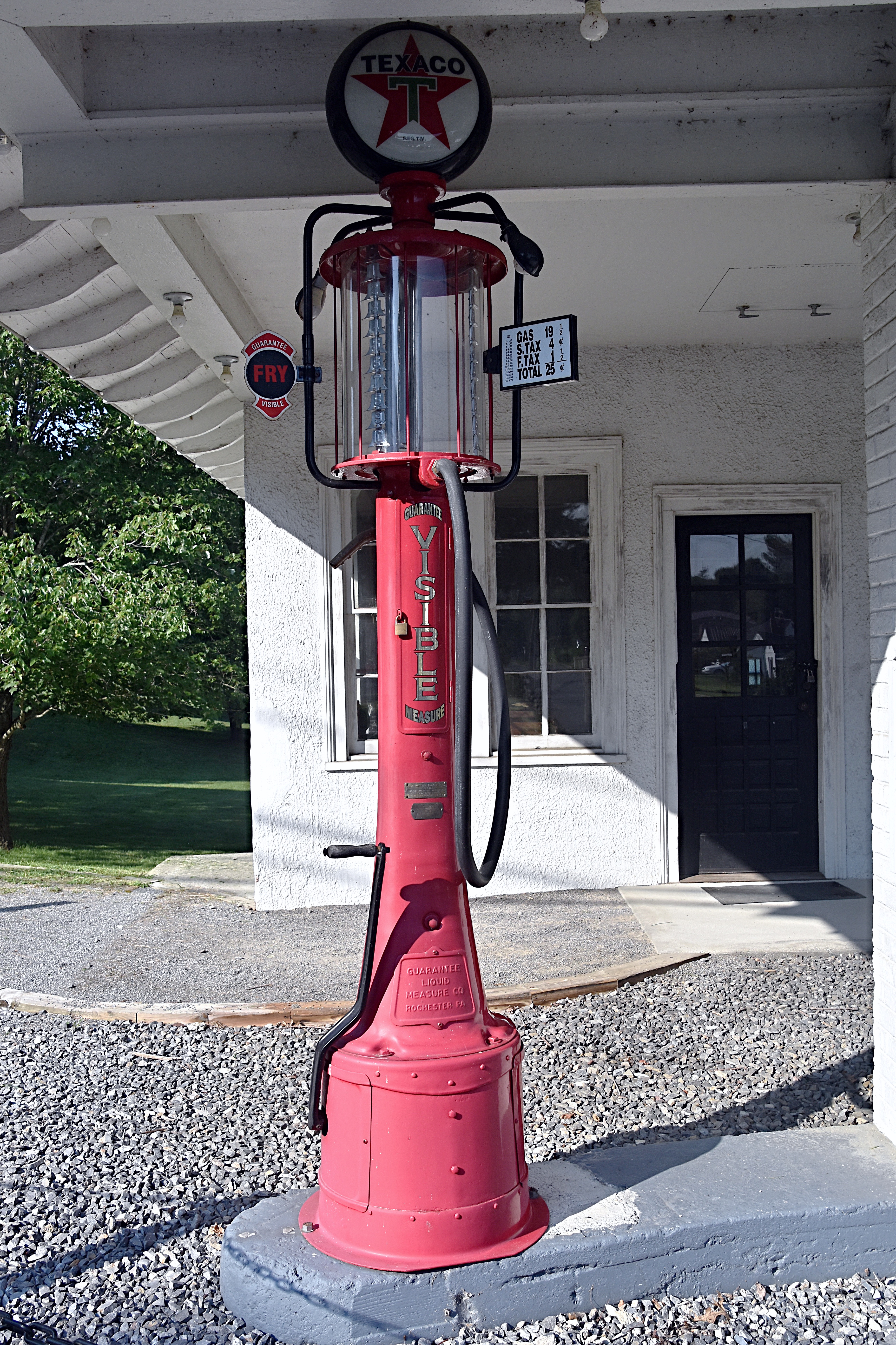
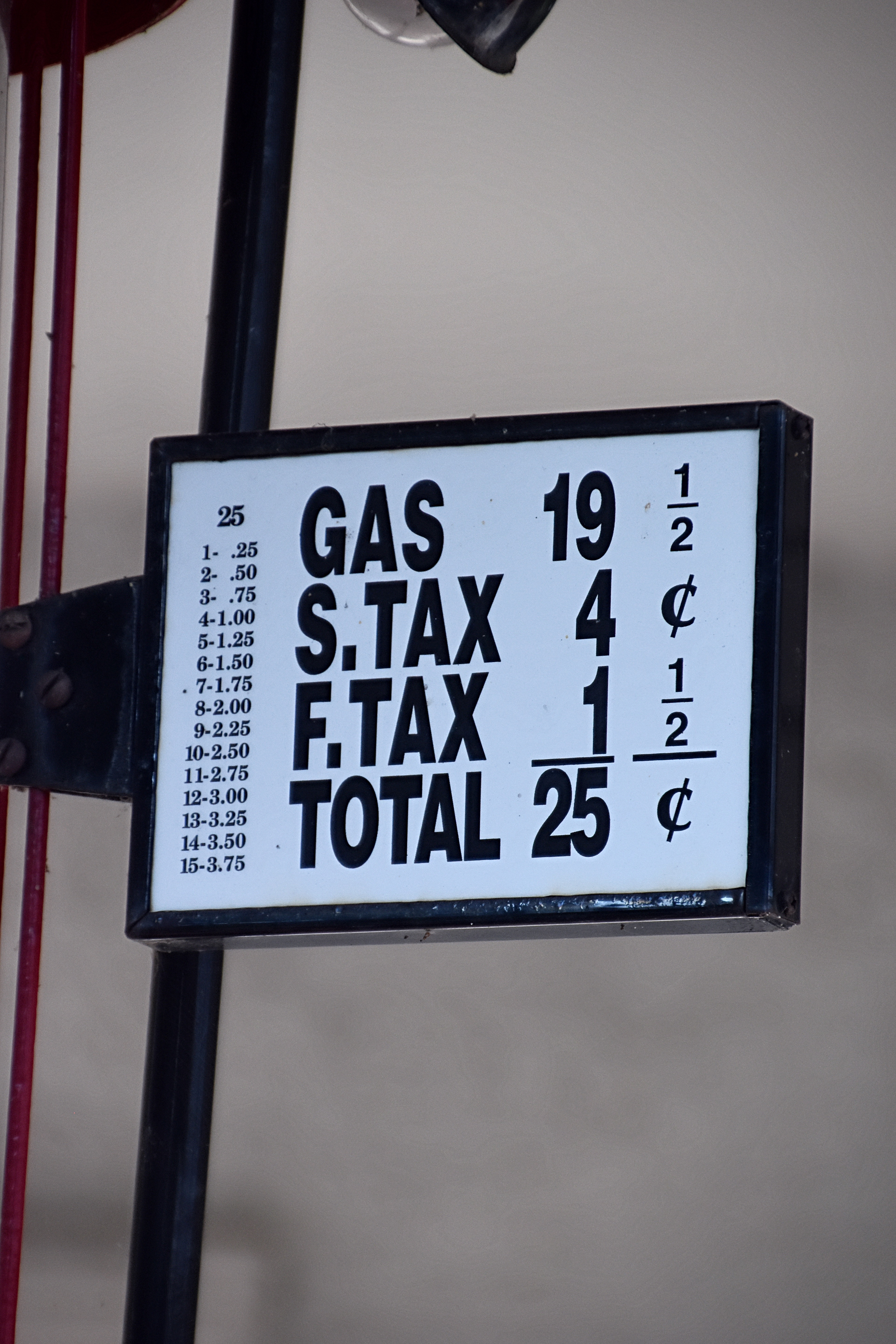
First stop was the Great Lakes to Florida Highway Museum. Unfortunately the museum was not open when we were there but we did get to check out the old gas station…check out the pumps and those prices!! Don’t we all wish gas was still that cheap.

Next stop, Main Street to get some pictures of the famous “big pencil” that hangs on the outside of the Wytheville Office Supply Store. It’s not hard to find this roadside attractions since the metal pencil is approximately 30 feet long.

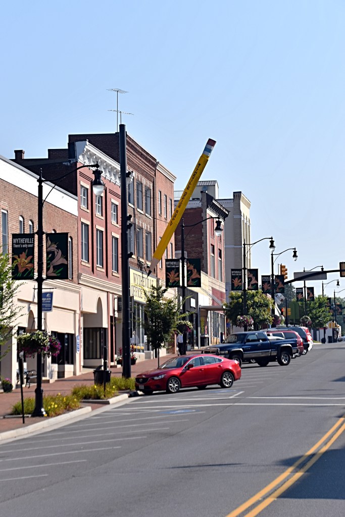
In the early 1960’s John Campbell Findlay, former owner of the Wytheville Office Supply Store, had the “big pencil” constructed as an advertising gimmick. He hoped other business owners would do similar things to attract travelers on US Hwy 21, the main highway at that time, to stop in Wytheville and shop.

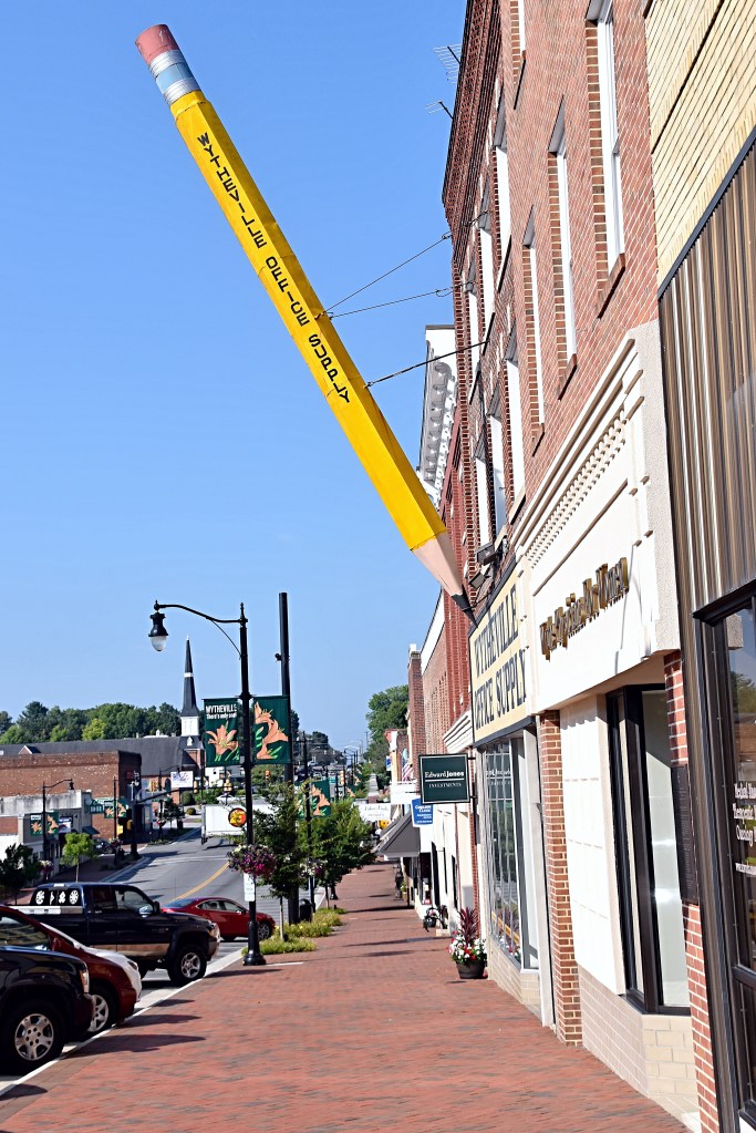
The “big pencil” also gained some fame in December 2000 when it was the features in a national syndicated comic strip “Zippy” by Bill Griffith.

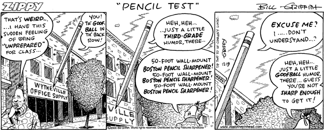
Comic source Doggo Bloggo

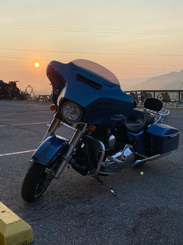
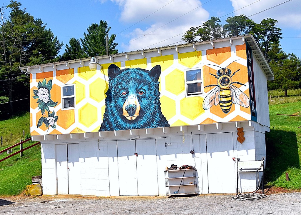
Our last stop in Wytheville before heading to the zip line tour was Black Bear Harley-Davidson. This dealership has a good-sized store and I loved the theming.

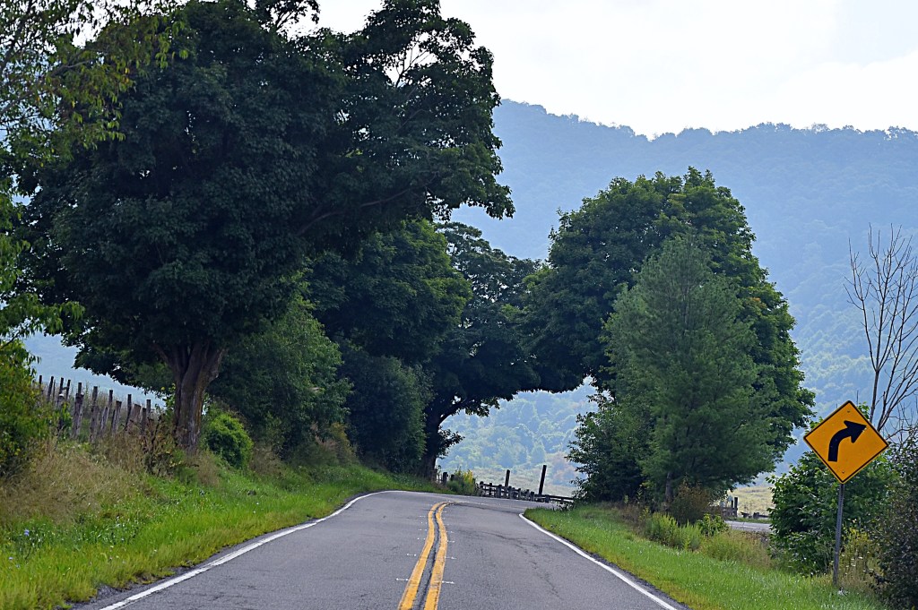
After our zip line tour we started heading north, making our way home. The last stop of the day was a place we had passed on our way down and back on our first trip, and I was not going home without stopping this time….The Tractor Bar.

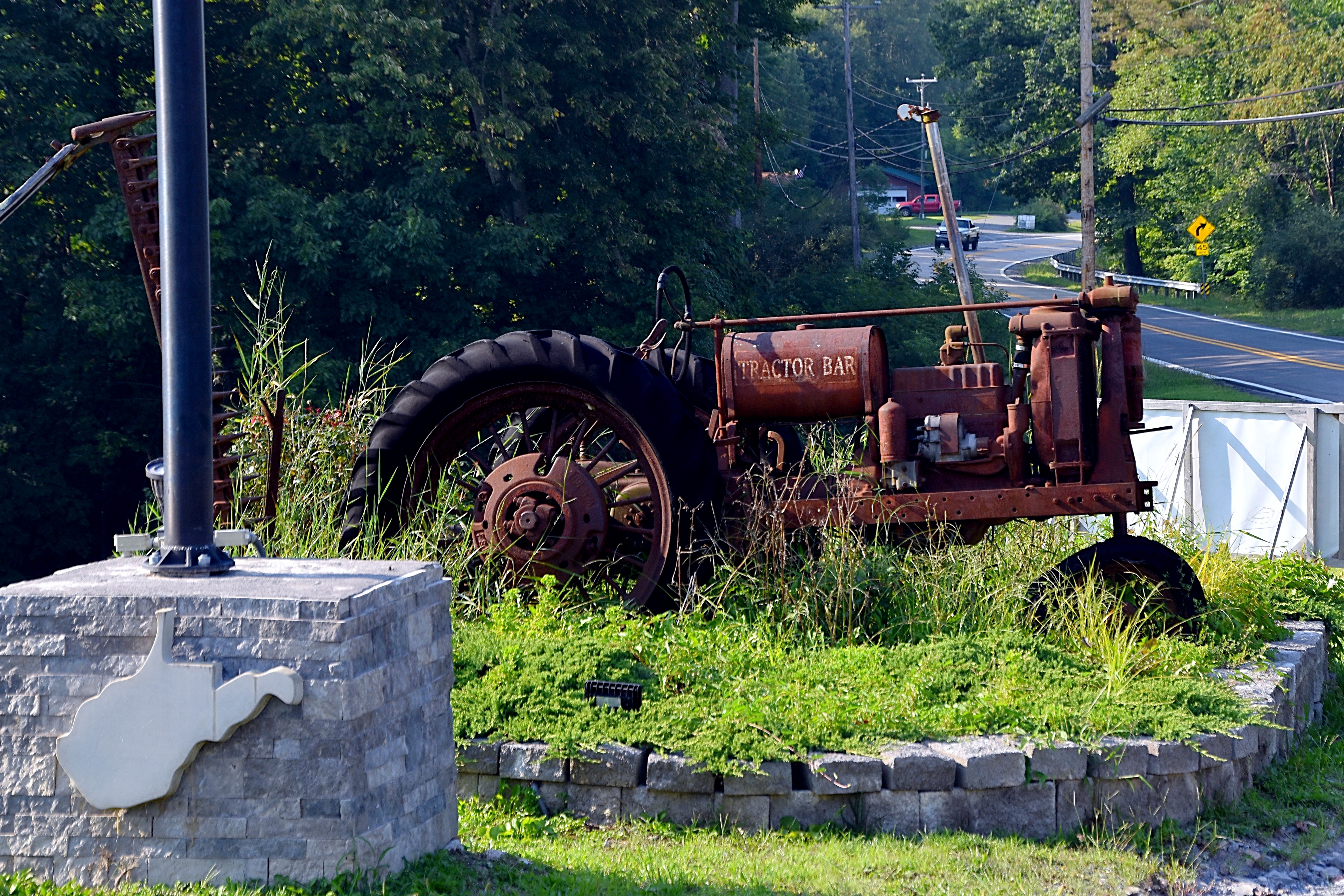
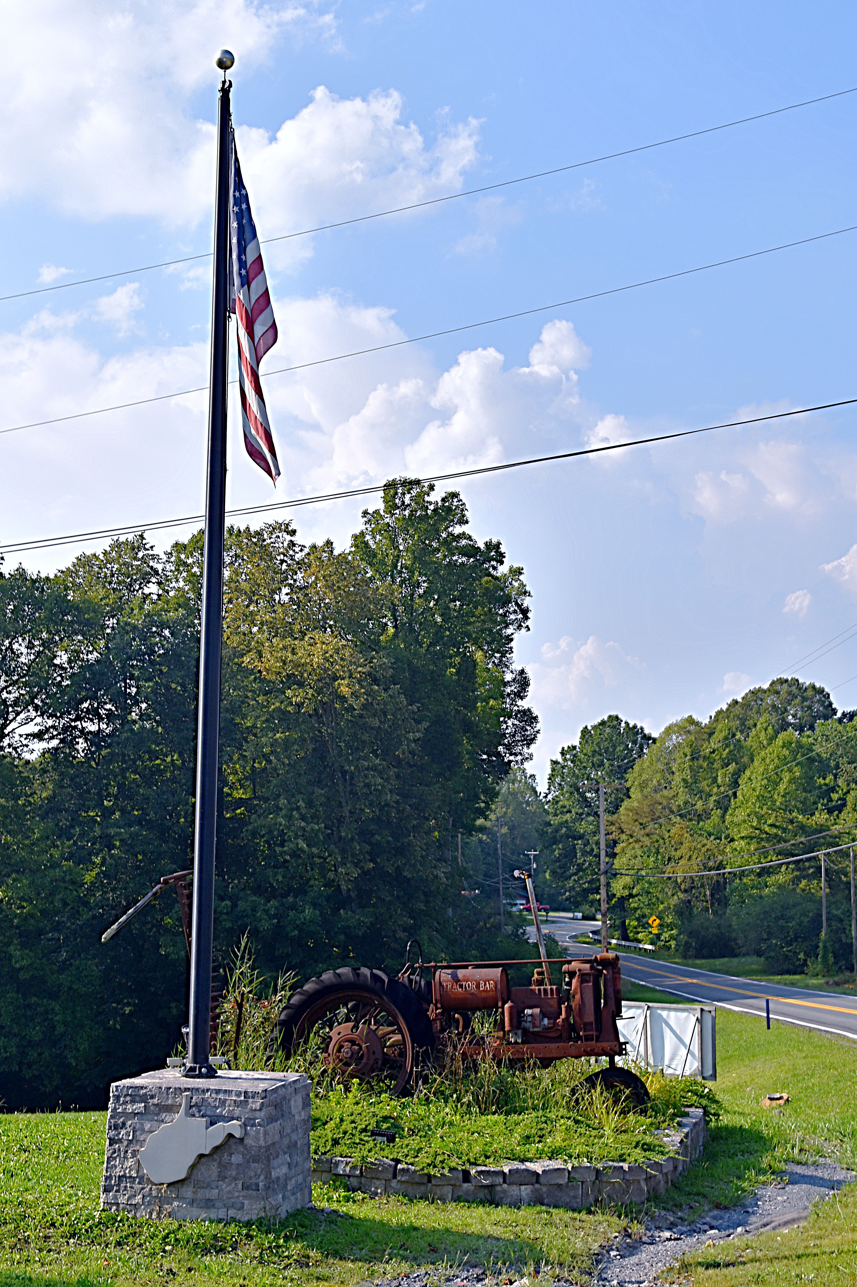
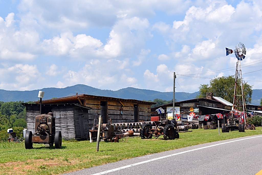
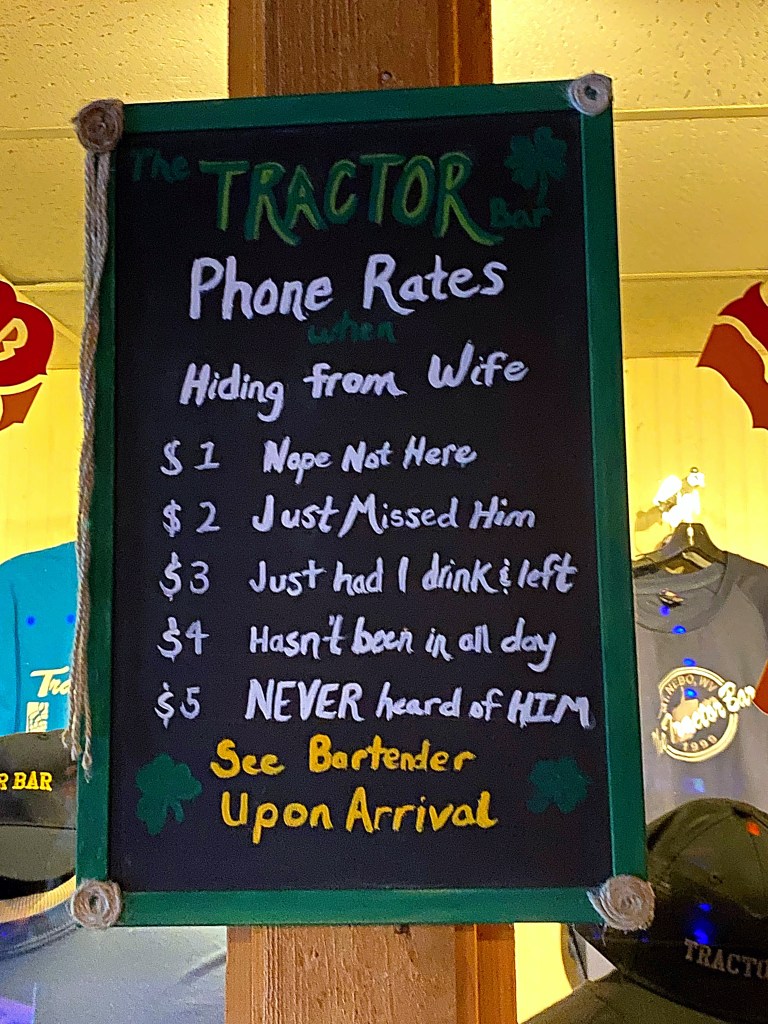
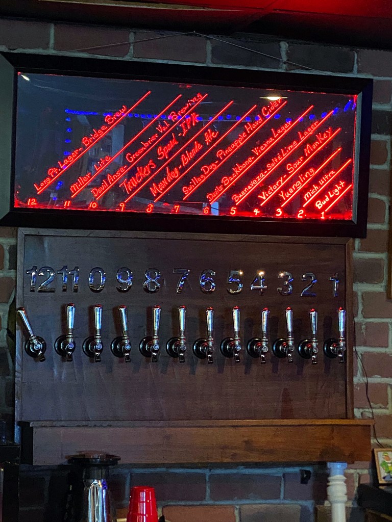
The Tractor Bar is located in Mt. Nebo, WV not far off of Route 19. The bar actually made it into GQ Magazine on their list of the 12 wackiest and weirdest bars in America.

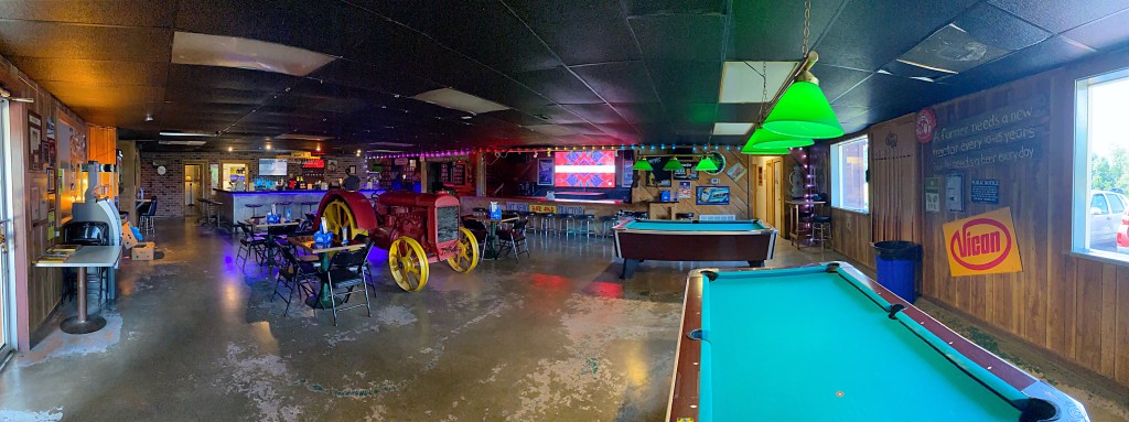
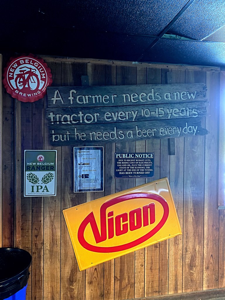
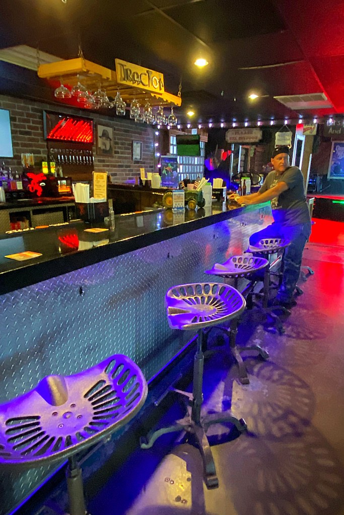
It turns out, The Tractor Bar, was an actual tractor dealership back in the early 90’s. After hard times fell upon the business, the owner decided to turn it into a bar. But the money was tight, so the bar and decor were pieced together from things laying around the tractor dealership. In fact, the beautiful red tractor in the middle of the bar was sitting in the weeds behind the dealership before they dragged it out, gave it a good cleaning and paint job and turned it into the centerpiece of the bar.

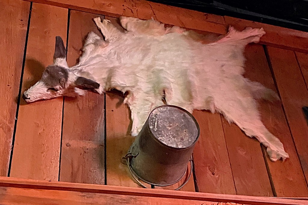
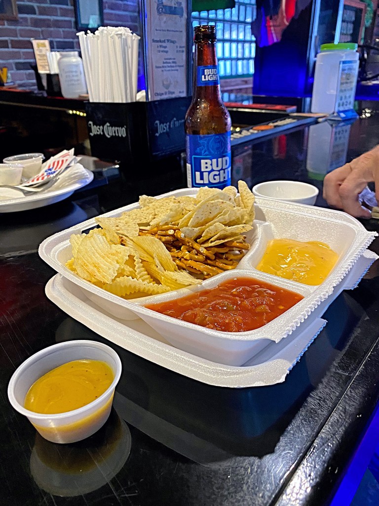
If you stop to check this place out make sure to walk around and check out all the interesting decorations both inside and on their back patio. Oh and the food is good too, lol. We of coarse had to try their wings and enjoy a couple cold beverages. Before you leave you might also want to check out there little souvenir shop…the products are as interesting as the decor.

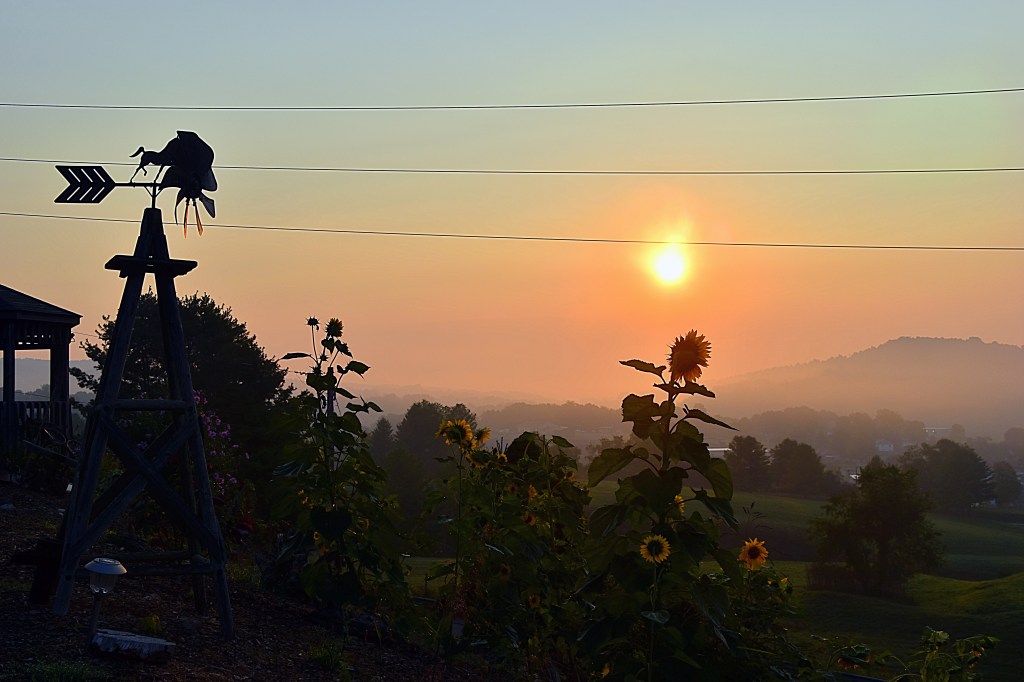
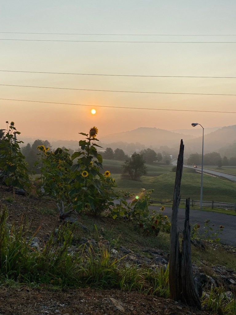
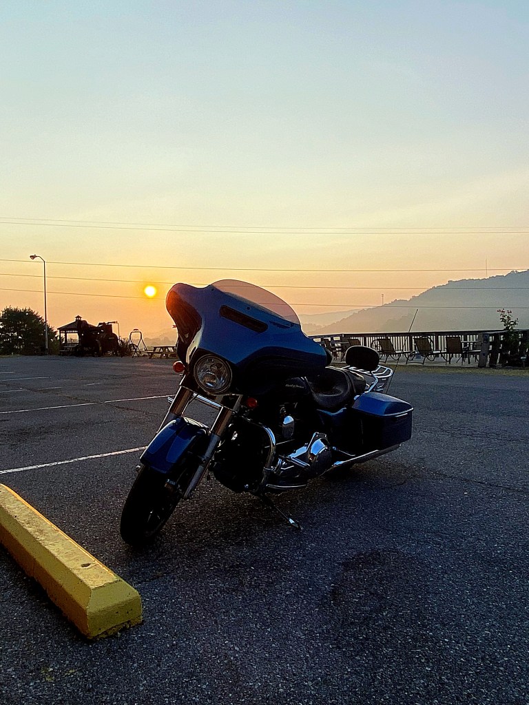
After dinner we continued north on Route 19 to Summersville and found a hotel for the night. Total miles for day 4 of our Claw trip, 193.

Dragon P7

Day 3 of the Claw trip we had a lot of miles we planned to cover, so we got up grabbed a quick breakfast and we’re back on the road. First stop, Shot Tower Historical State Park.

Located near New River Trail in Austinville, VA, the centerpiece of the park is the Jackson Ferry Shot Tower. Built over 200 years ago, the Shot tower overlooks the New River.

The historic landmark was used by early settlers to create ammunition. Lead from local mines would be melted down with a wood furnace at the top of the tower, then poured through a sieve forming drops of lead. The droplets would then fall 150 feet to become spherical and cool, becoming rigid as they did. In order to complete the cooling process, and to provide a soft landing to stop deforming, the newly formed shot landed in a kettle of water at the bottom of the tower.

The construction of the Jackson Ferry Tower is different from most shot towers for a couple of reasons. First, the tower was constructed of limestone rather than brick. This not only made the walls stronger, it also kept the interior temperature of the tower cooler and more consistent. These two factors improved the quality of the shot produced in this tower. Second, the location of the tower provided the designers with an advantage. They were able to build the tower on the edge of the cliff and reduce the height of the tower while maintaining the 150-foot drop that was necessary for the process by digging a 75-foot vertical shaft in the ground. A horizontal tunnel was then added near the shore of the river that gave them access to the bottom of the shaft.

Diagram from the Henrico County Historical Society

The park is open year round from dawn to dusk, and on scheduled days during the summer the tower is open for tours. The park is free, but there is a fee for the tour. Unfortunately, the day we stopped there was no tour available. There is also a nice picnic area and several spots to just sit under the trees and enjoy the peacefulness of the countryside.

Next up was Historic Foster Falls located in the New River State Park, which is under 3 miles from the Shot Tower. The village of Foster Falls was the product of the iron industry that flourished in the New River Valley in the 19th and early 20th centuries.

An iron furnace was constructed in 1881 at Foster Falls, followed by a railroad passenger-and-freight station close by leading to other businesses to locate there. By 1895 the village had a population of 296, a Victorian-style hotel, post office, gristmill, sawmill, general store, distillery and 100 houses.

Five years after the furnaces ceased in operations, the hotel changed ownership. The once elegant hotel that was the centerpiece of the village was turned into an industrial school for young women. Then in 1938, it became a co-ed orphanage. By 1962, the building had fallen into disrepair and the children’s home was relocated. After years of being abandoned, the building is now being restored and will serve as a state park lodging establishment. I would love to go back when it is completed and stay at this historic spot.

More information can be found on the Virginia DCR website.

Remnants of the furnace built by the Foster Falls Mining and Manufacturing Company, can be seen when you visit the park. This furnace was the last of the cold-blast, charcoal-fueled furnaces to operate in the southwestern Virginia region.

The furnace employed 80 men and produced 3,000 ton of pig iron annually at it’s peak. The iron-ore used was brought in from several local mines, the New River provided the water power and the extension added by Norfolk and Western Railway in 1882 provided easy distribution.

The railroad passenger station built in 1887 for the Norfolk & Western Railway, later called the Cripple Creek Branch, still remains in the Foster Fall Historic District. Restored by the New River Tail State Park, it now serves as a visitors’ center as well as a gift shop. We stopped in to get a cold drink and of course a small souvenir. Across from the visitor center is also a Norfolk and Western train car.

The park also has the remains of several other buildings from the historic Foster Falls village that you can view while exploring the park. In addition to the history of the village, the New River Trail State Park also offers several nice picnic areas, primitive campsites by the river and trails that visitors can explore. While we were there we took a short hike to the river to see the falls and also got to see some wildlife.

After leaving Foster Falls, we continued on the roads that make up the Claw of the Dragon and stopped at Draper Mountain Overlook located on US Route 11 in Pulaski, VA. The overlook was named for John Draper, an early settler of the Virginia Frontier and the land along the New River.

In 1755 the Shawnee Indians raided the Viginia Frontier and John’s wife, siter-in-law and five others were taken captive and taken back to the Shawnee Camps in the Ohio River Valley. While John’s sister-in-law was able to escape and travel more than 850 miles back to the New River Valley, John’s wife remained a captive. She lived for 6 years with the family of an Indian Chief until John found her and was able to barter for her release. In 1765 John and his wife moved from Draper’s Meadow to area seen below the overlook, which is known as Draper’s Valley.

In addition to the interesting story of the overlook and surrounding area’s name there are also remnants of several structures.

The overlook offer plenty of parking on both sides of the roads, some picnic tables and hiking trails.

We traveled more of the winding mountain roads and found a hotel for the night. Below are just some of the interesting things we saw along the way. Our total mileage for day 3 of our Claw of the Dragon trip was 208 miles.

The Dragon P6

Day 2 of the Claw of the Dragon we woke up to a beautiful sunrise from the Big Walker Motel.

First stop was the Back of the Dragon shop in Tazwell. We picked up some BOTD souvenirs and visited with another rider before hitting the road again.

We traveled along the outer loop down the winding mountain roads going through beautiful countryside and several charming towns. Our next stop was the Grayson Highlands State Park.

Located in Mouth of Wilson, Virginia it is most often described as having alpine-like peaks. With elevations 5,000 ft, Grayson Highlands offers extraordinary views. Although we did not get to see them during our stop, the park is also well known for its wild ponies.

Heading towards the top, there is a visitor center that showcases exhibits and educational items on the history of the area. It covers topics like moonshine, music, the wildlife and lifestyle of the area and much more. You can also do some shopping in the Mountain Crafts Shop. The shop offers crafts and other gifts made by local artisans.

Close to the visitor’s center there is a nice overlook that is just a short walk called Buzzard Rock Overlook. At the time of English settlers, turkey vultures would nest in the rocks and reminded the settlers of the buzzard hawks of their homeland, hence the name “Buzzard Rock”.

After coming back now from the visitor’s center, we headed east on Route 58. Not far from the park entrance there was a gas station with a store inside that had a little bit of everything. It made the perfect backdrop for some pictures while we fueled up, and the owner was very friendly and talkative.

After fueling up, we continued on 58 and found a nice hotel near Hillsville to stop for the night. Total miles for Day 2 of our Claw trip were 183.

Check back for Dragon Trip part 6, our third day riding the Claw of the Dragon.

The Dragon P5

Our first trip we covered the head, neck, back and tail of the dragon. To complete the entire Dragon we took a second trip to the Claw of the Dragon. We saved the Claw for a separate trip because it is made up of 6 loops; the Wytheville, Galax, Bastian, Bland, Marion and Outer Loop. The entire Claw winds through 7 counties and totals over 350 miles. Located in Southwest Virginia the country roads of the Claw offer breathtaking views of the Blue Ridge Mountain range and surrounding countryside. There are several sources for information and maps about the Claw including the Wytheville tourism site and REVER.

Map from the Visit Wytheville website

Day 1 was mainly spent traveling. The one attraction we did see the first day was Big Walker Lookout and BW Country Store. Located on the Wythe/Bland County Line, Big Walker Lookout is the highest point on the Big Walker Mountain National Scenic Byway, which is the scenic bypass for I-77.

Big Walker Lookout offers amazing views from an observation tower and charming country store. The store sells a variety of items including handmade products from the Southwestern Virginia, Claw of the Dragon merchandise and my BF’s favorite part of the store…ice cream. There is plenty of seating and interesting decor to take in outside the store.

While BF was enjoying his ice cream I was able to get some great shots of a hummingbird who was also enjoying some sweet treats provided by the store.

The observation tower has been run by the same family since it was was originally built in 1947.

Originally, visitors crossed to the tower by way of a swinging bridge that connected to the back of the old general store, however in 2003 there was a fire that burned the original store down and a portion of the bridge. The swinging bridge that was not destroyed in the fire and still stands and offers great picture opportunities. Please overlook me being an oddball tying swing the bridge.

Located at an elevation of 3,405 feet, it is said on a clear day the 100 foot tower offers views of mountain peaks in five different states. Whether that is true or not, all I know is the climb up the tower is well worth the amazing views you get from the top.

The first day we covered 389 miles. We stayed the night at a nice little place in Bland, Big Walker Motel. It was a little dated, but it was clean and a great location for this trip.

The Dragon P1

Living in Pennsylvania I tend not to go on as many adventures during the winter months because I’m not a fan of the cold. However, this gives me an opportunity to share some of my past ones. The first one I’d like to share is The Dragon.

One of my favorite ways to see new places is traveling by bike. And no I don’t mean the ones you have to pedal. I think it’s great for those who do, but this gal just doesn’t have that much energy lol. I’m talking about motorcycles. Well, one day my bf was telling about the Tail of the Dragon. A section of road that almost all motorcycle riders have heard of and many have experienced, and how he’d like to do it. Me being the person I am, I started doing my research. I came back to him and said “you do know there is an entire dragon, right?”. Well he didn’t, and as we’ve come to find out most people do not. So instead of just experiencing the Tail of the Dragon, we took on the entire Dragon.

The Dragon is made up of the famous Tail of the Dragon, Back of the Dragon, Head of the Dragon, Neck of the Dragon and the Claw of the Dragon. The Claw of the Dragon is actually made of multiple loops so we decided to divide our “Dragon Adventure” into two trips. The first year we did everything but the Claw and the second year we did the Claw. I’m going to break our trips into multiple posts because there are a lot of miles and sites to cover. In this post I’ll just give you and an overview.

The Neck, Back and Claw are all located in Viginia, the Tail is in Tennessee and the Head is in West Virginia. I laid out our trip so thet we would do the Neck, then travel down the Back, make our way to the Tail, then do the Head on the way back home. Again, the Claw we left for our second trip.

The first day we traveled from western PA to a hotel in Staunton, VA close to the Neck of the Dragon. I planned it this way so we could get a good nights sleep and be bright-eyed and bushy-tailed for the true beginning of our adventure the next day. It was a lot of miles to cover so there weren’t many stops on the way down, but it was a beautiful ride.

The Dragon P2