Covered Bridges & Ice Cream

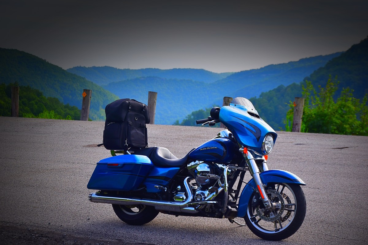
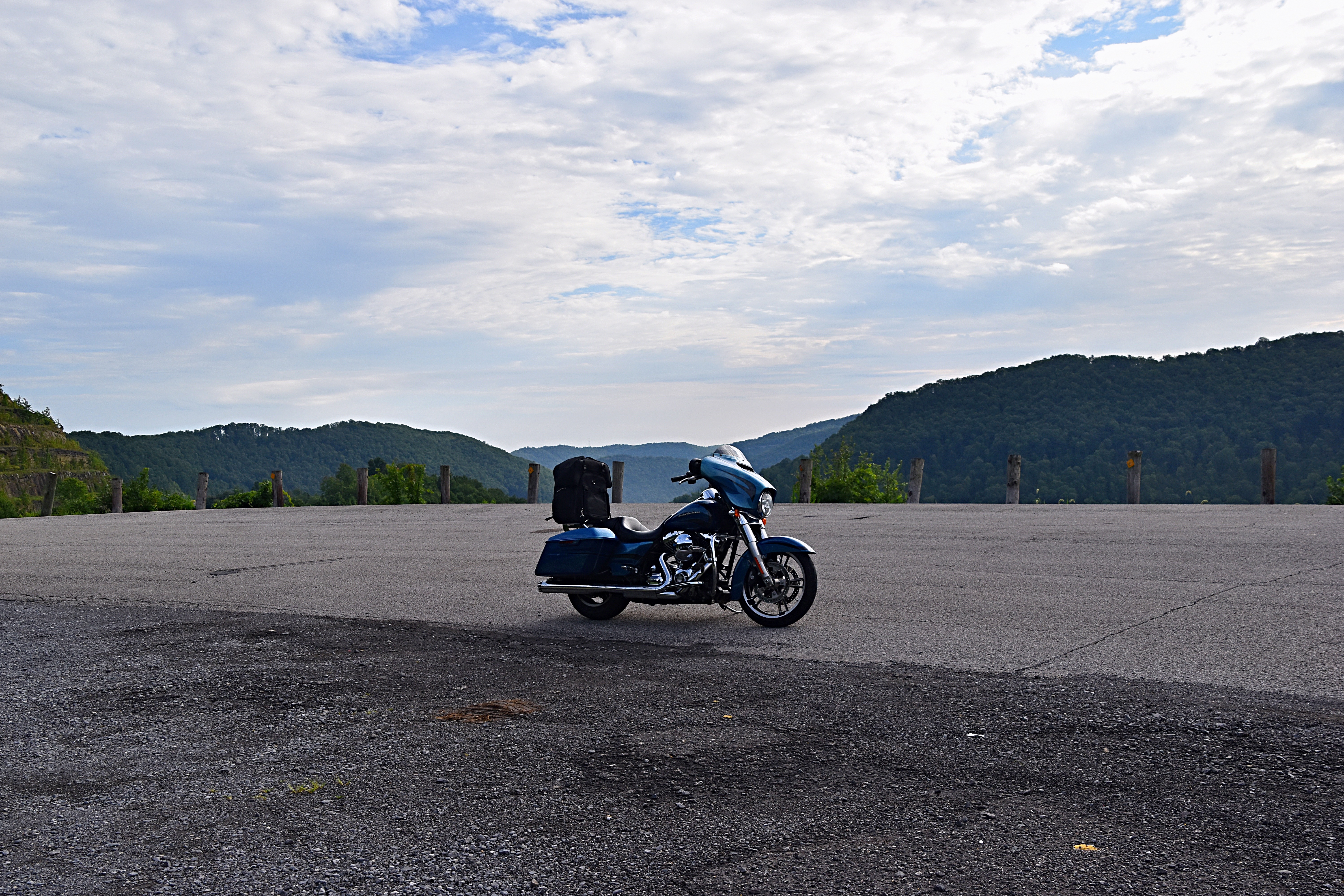
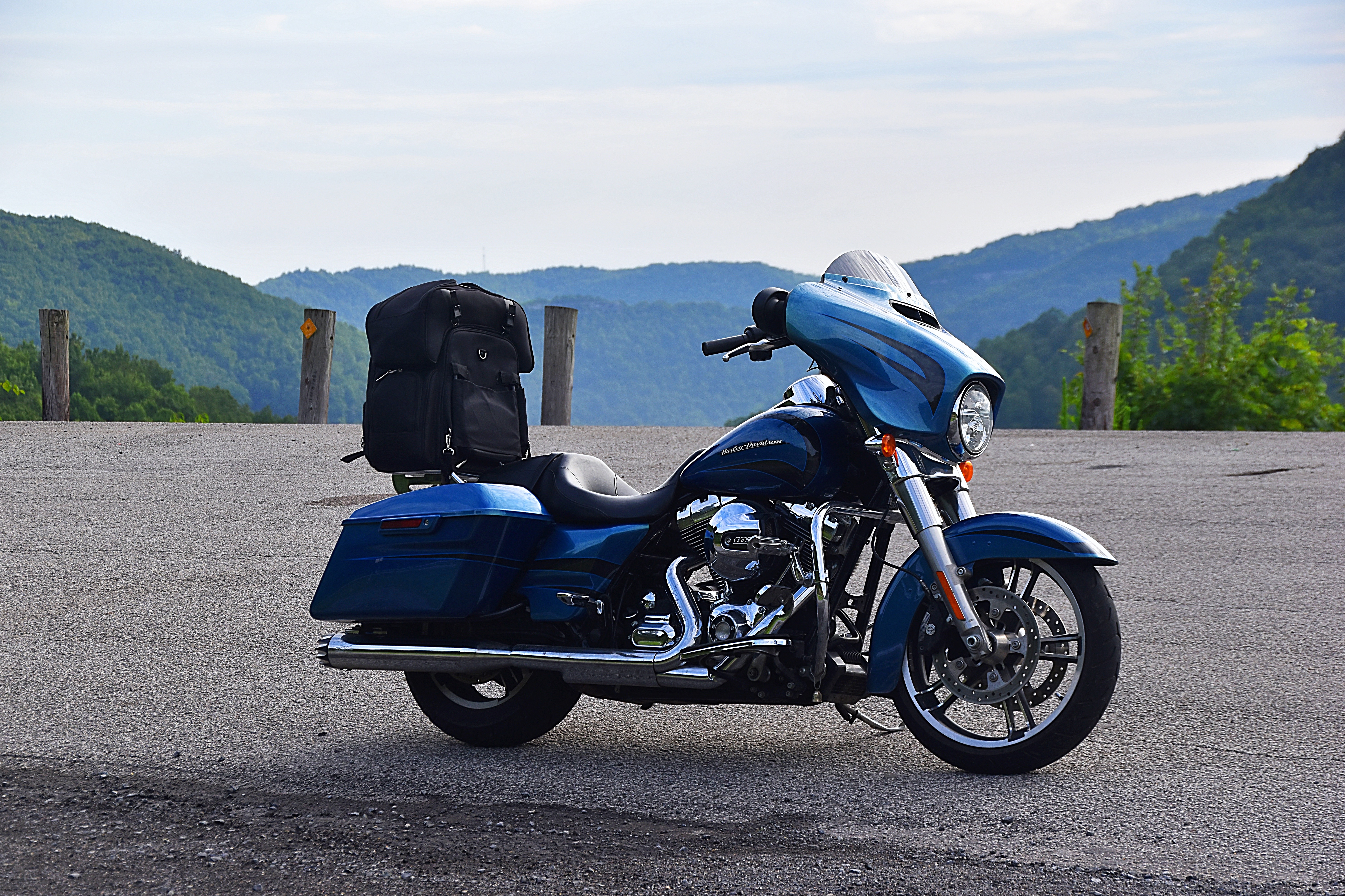
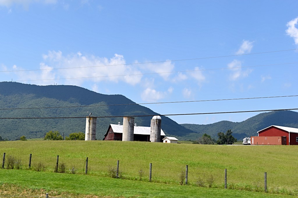
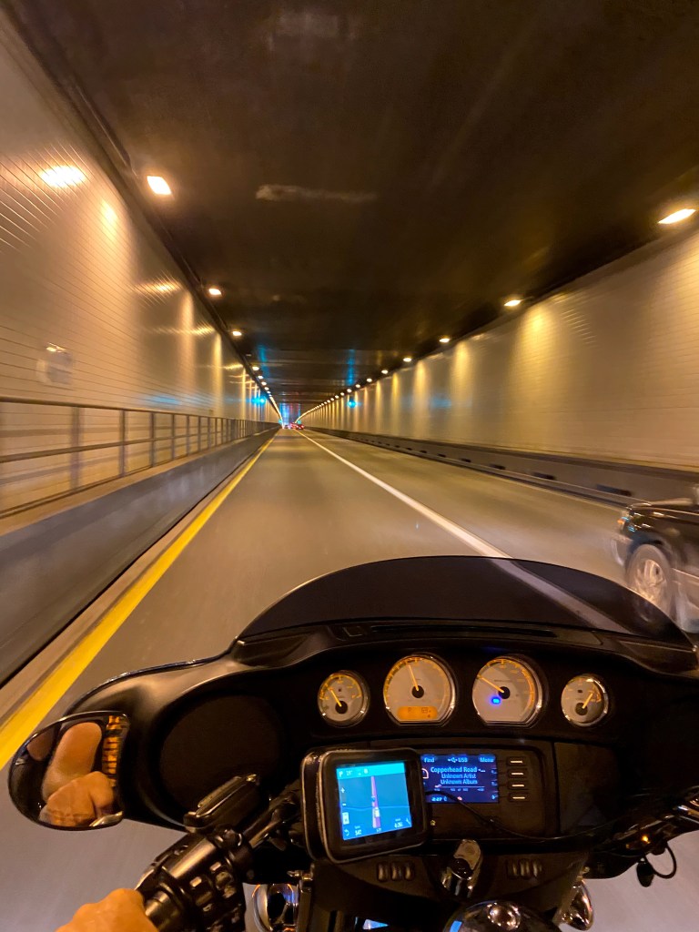
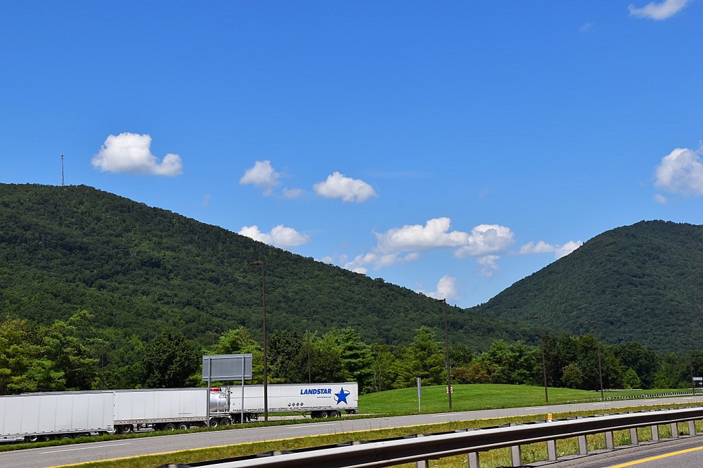
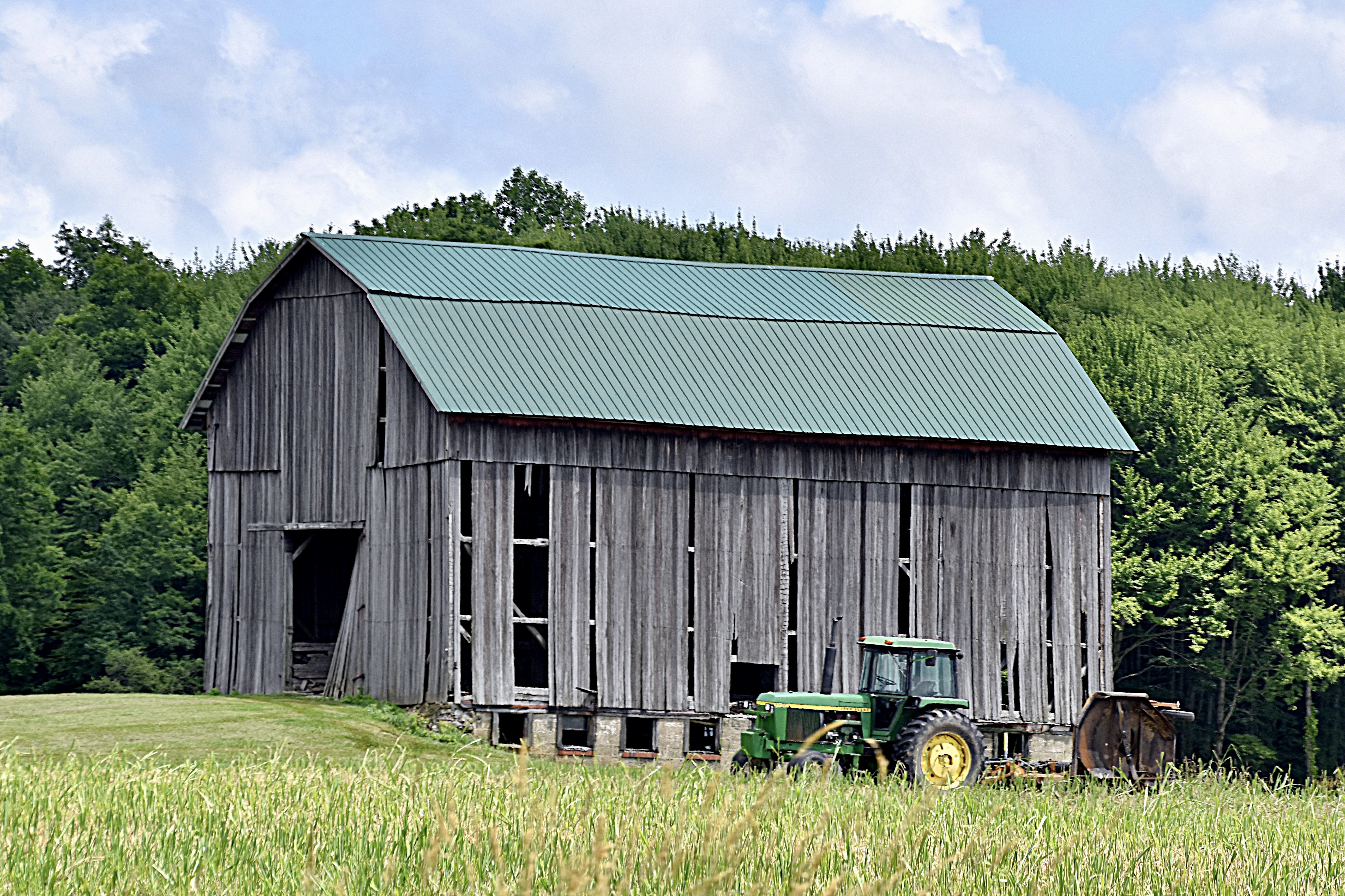
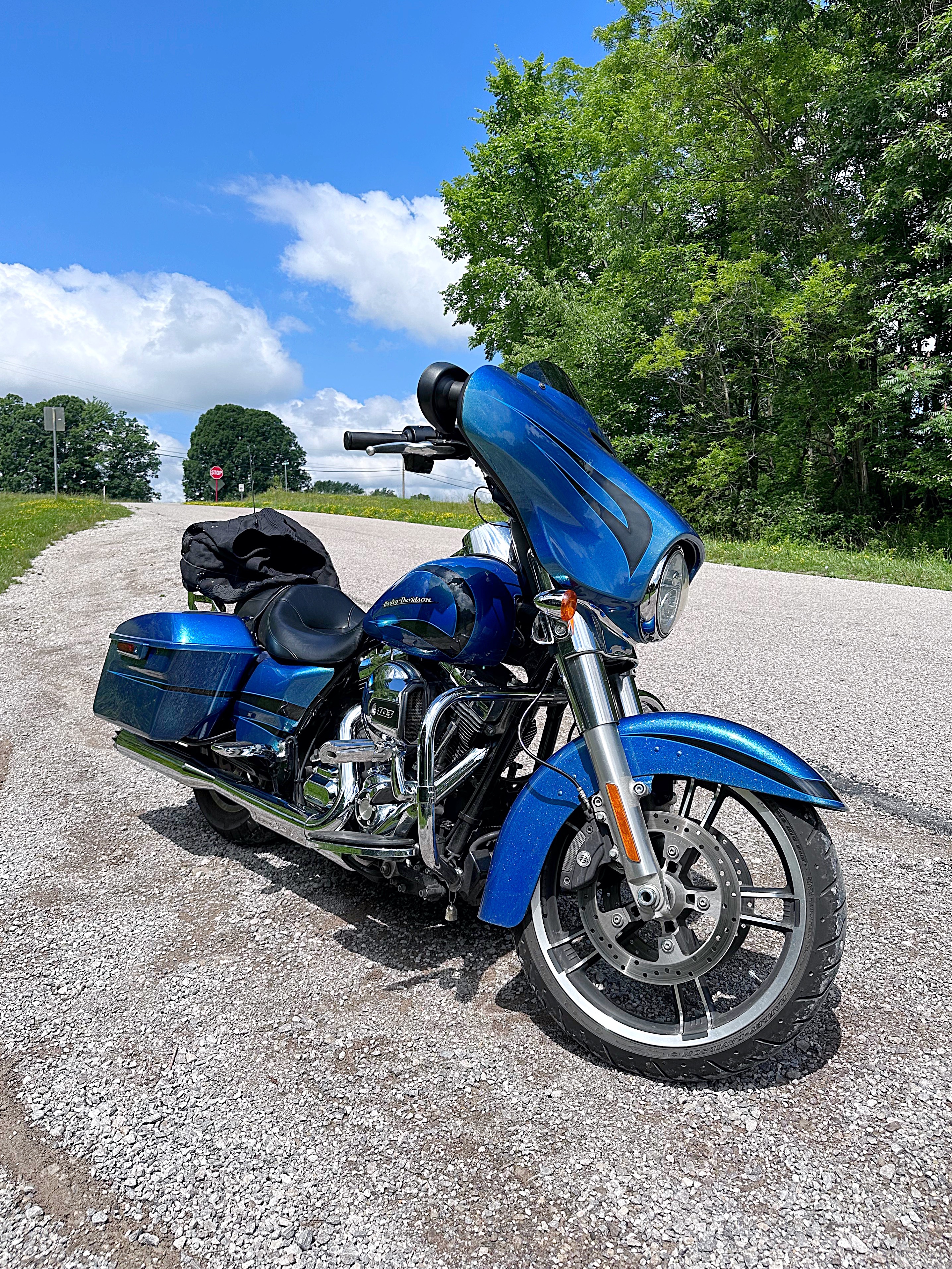
We spent the 4th on the bike enjoying the beautiful weather and exploring some covered bridges in Ashtabula County Ohio. We have been to most of the bridges and once we have them all 17 checked off I will do a post with all of them.

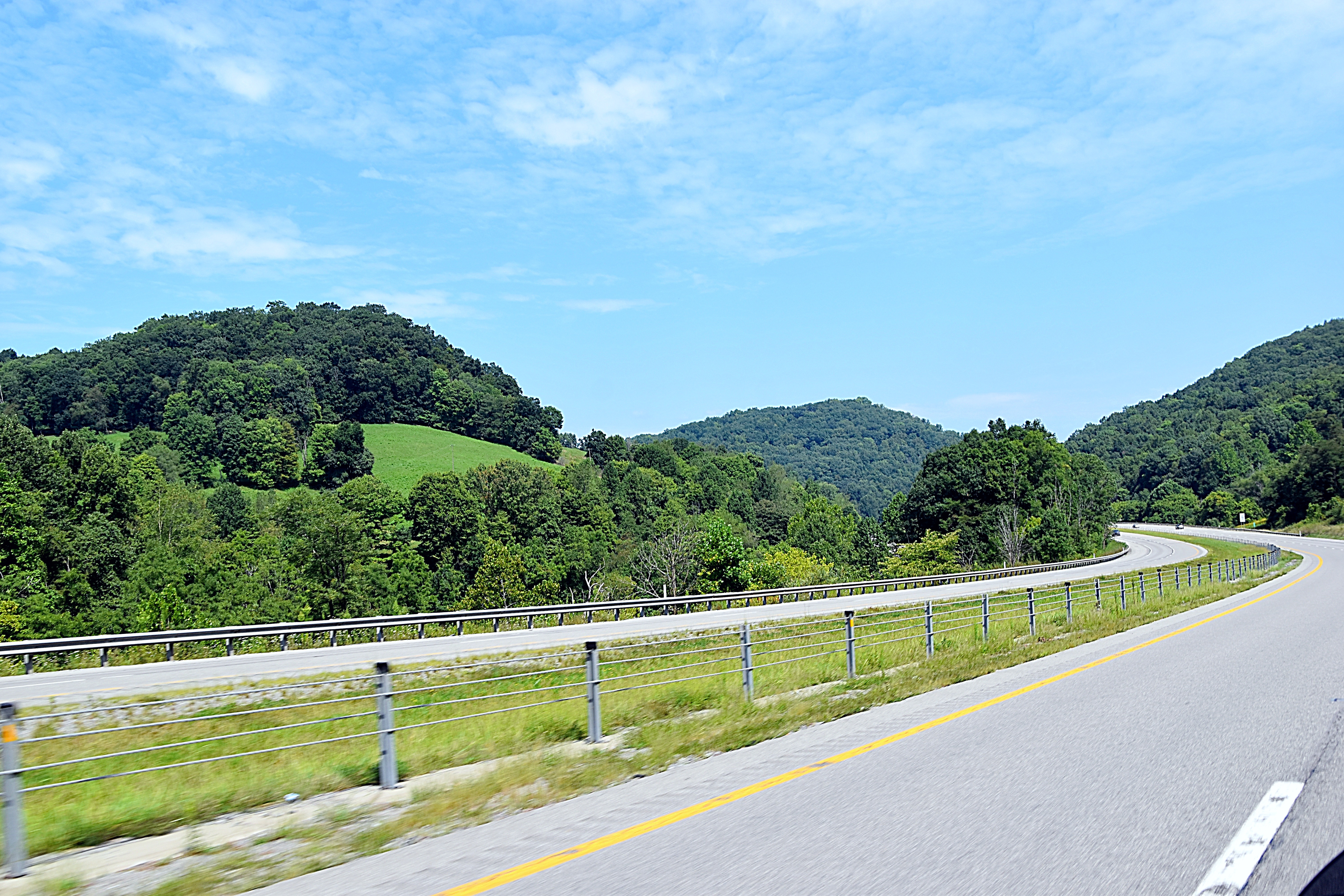
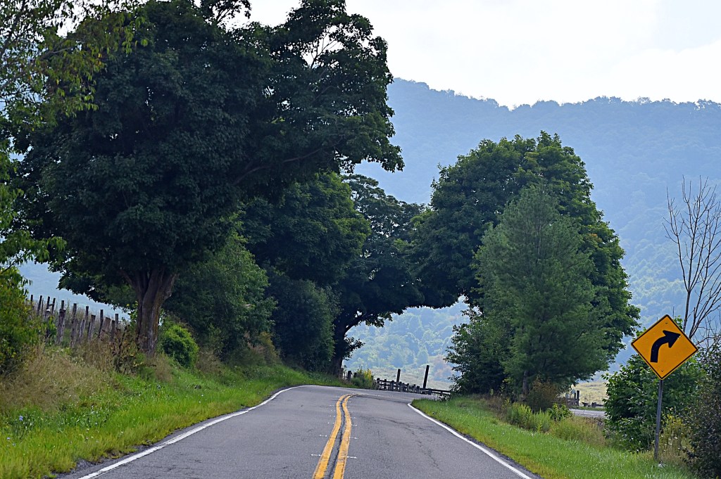
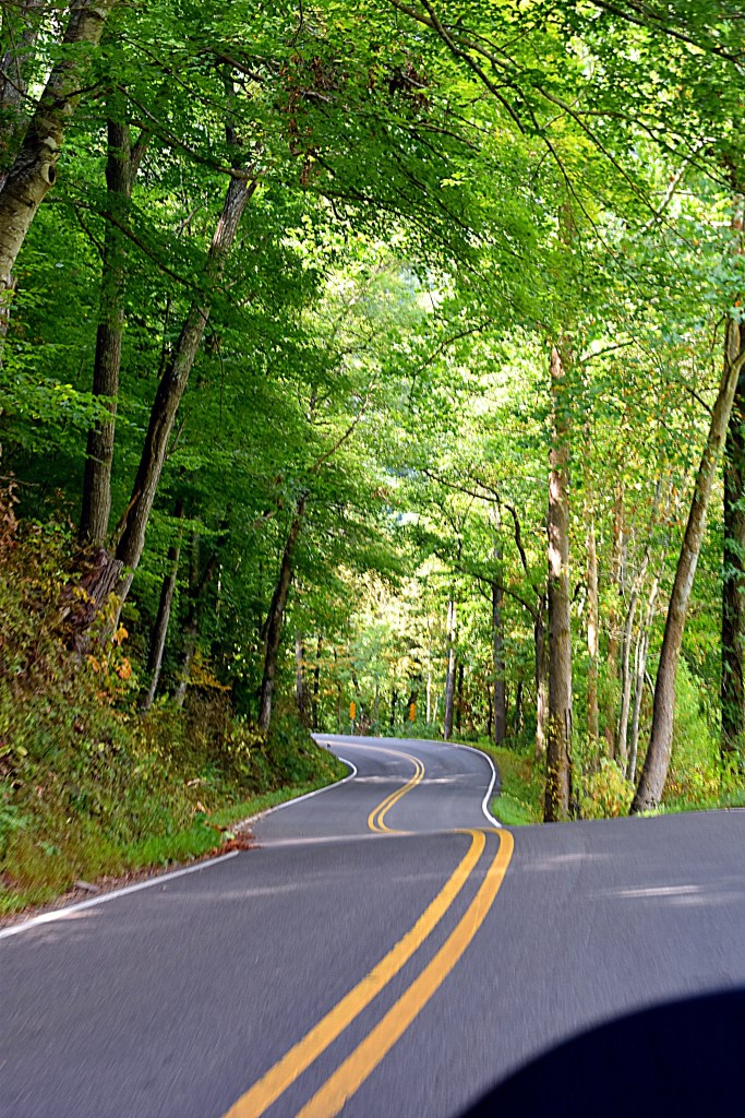
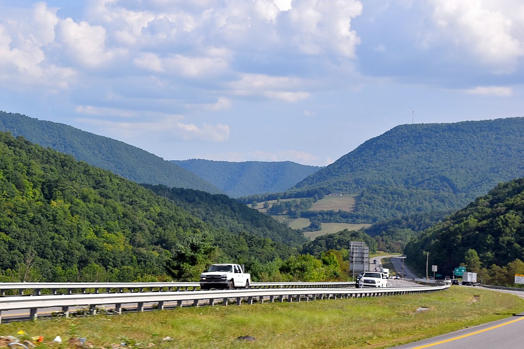
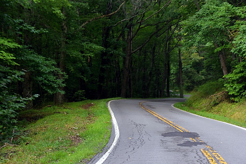
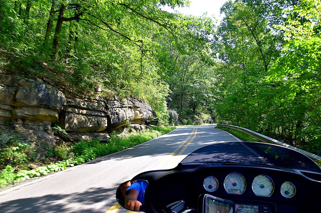
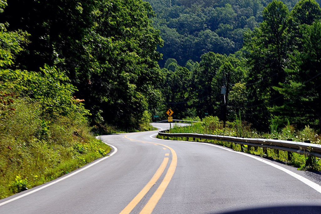
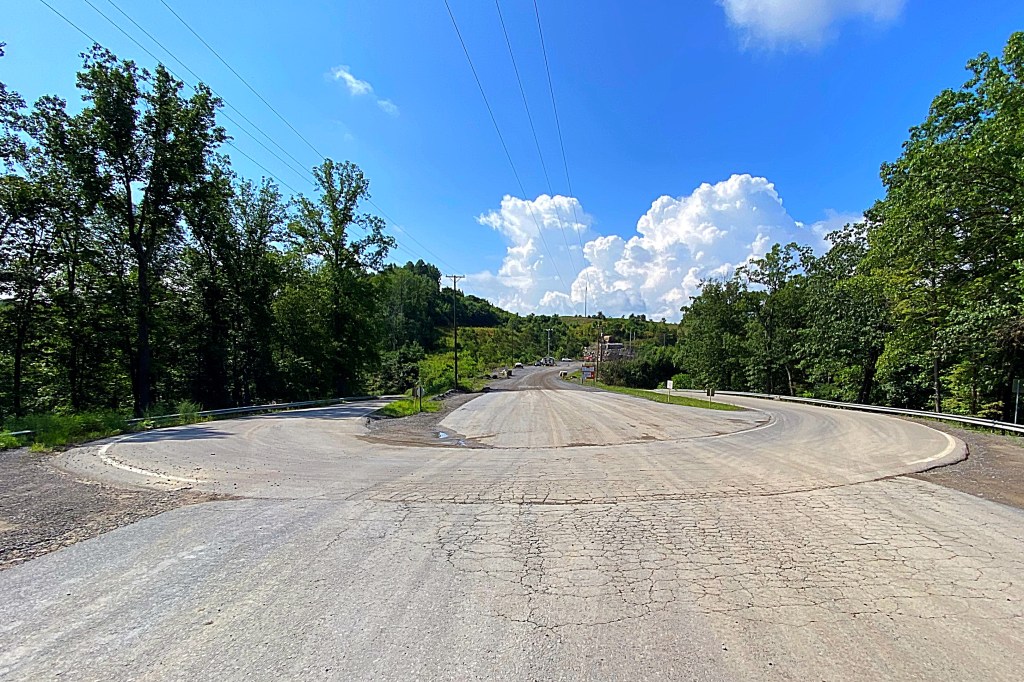
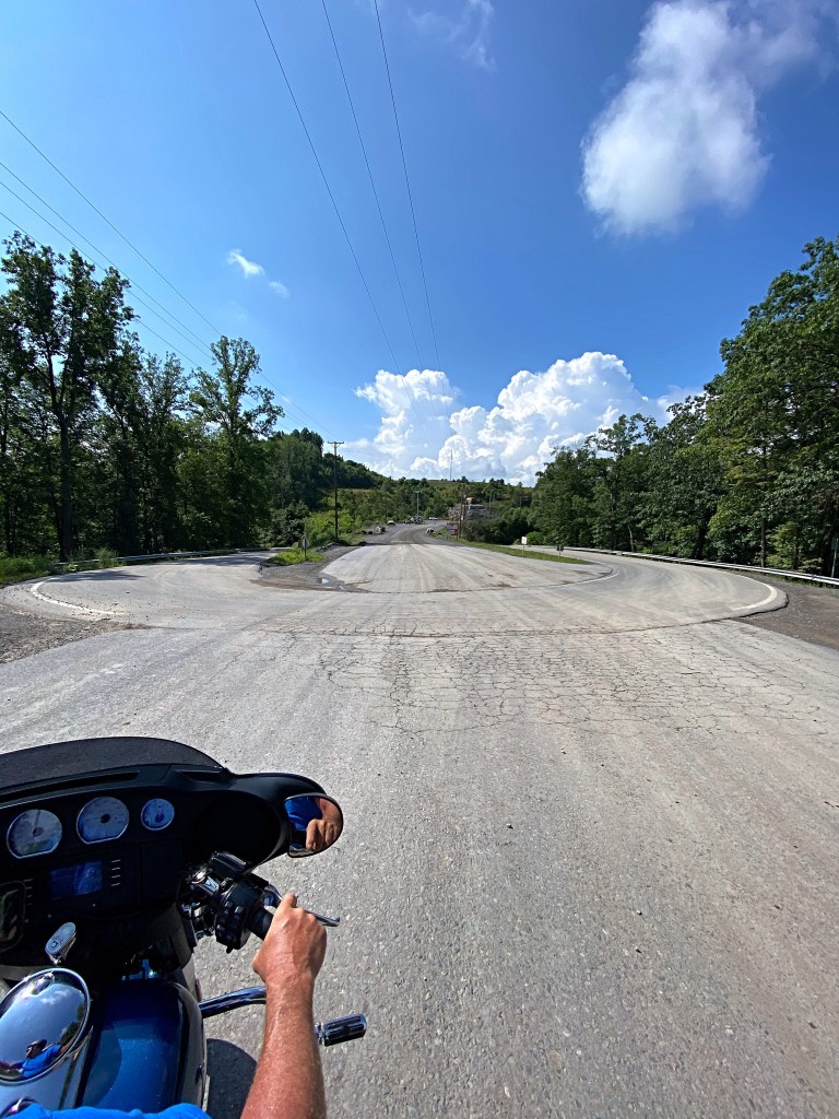
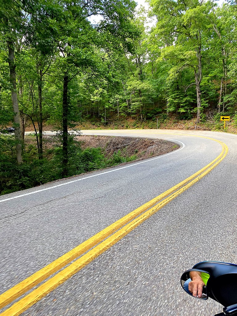
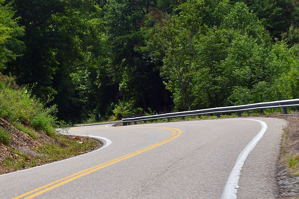
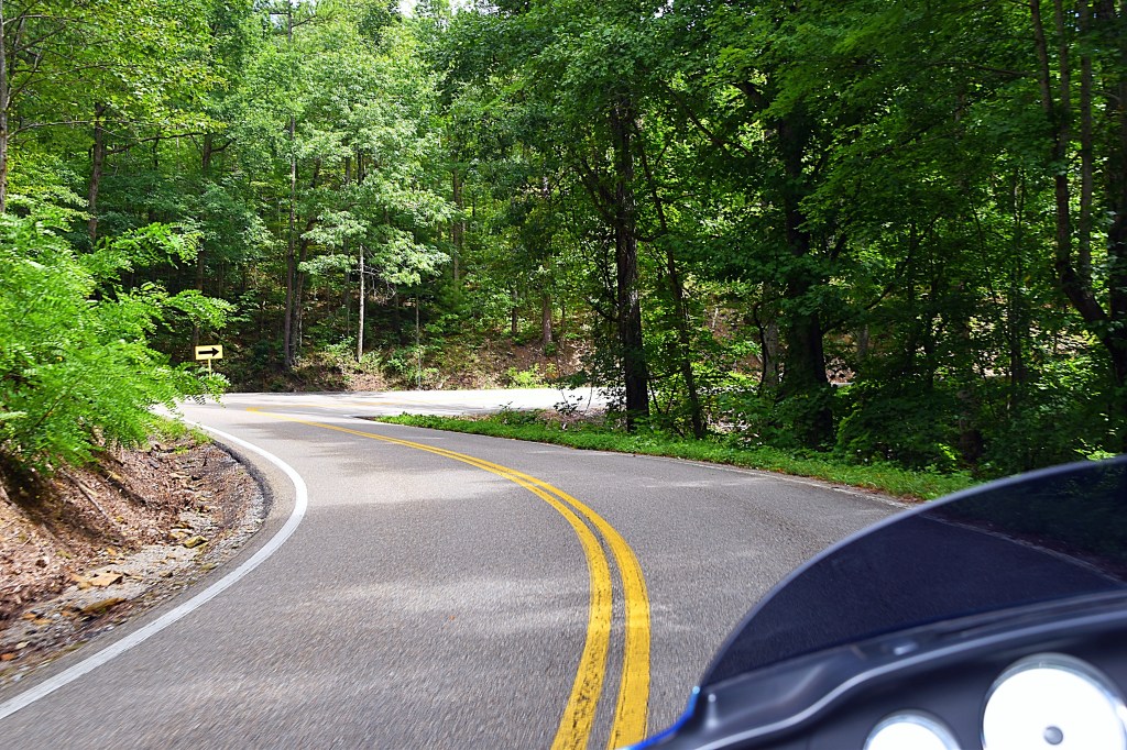
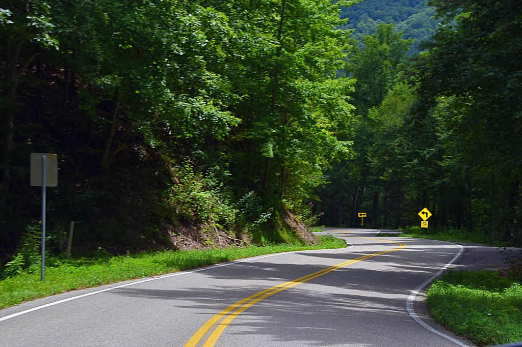
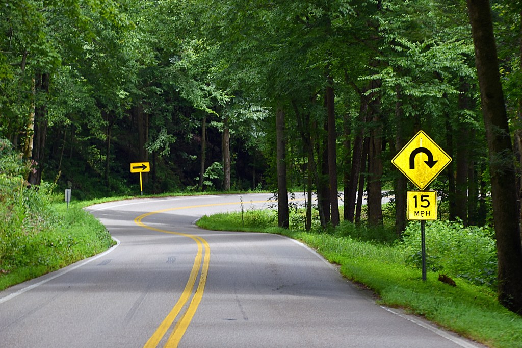
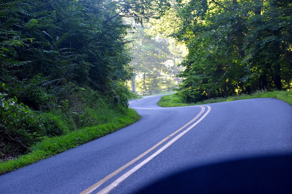
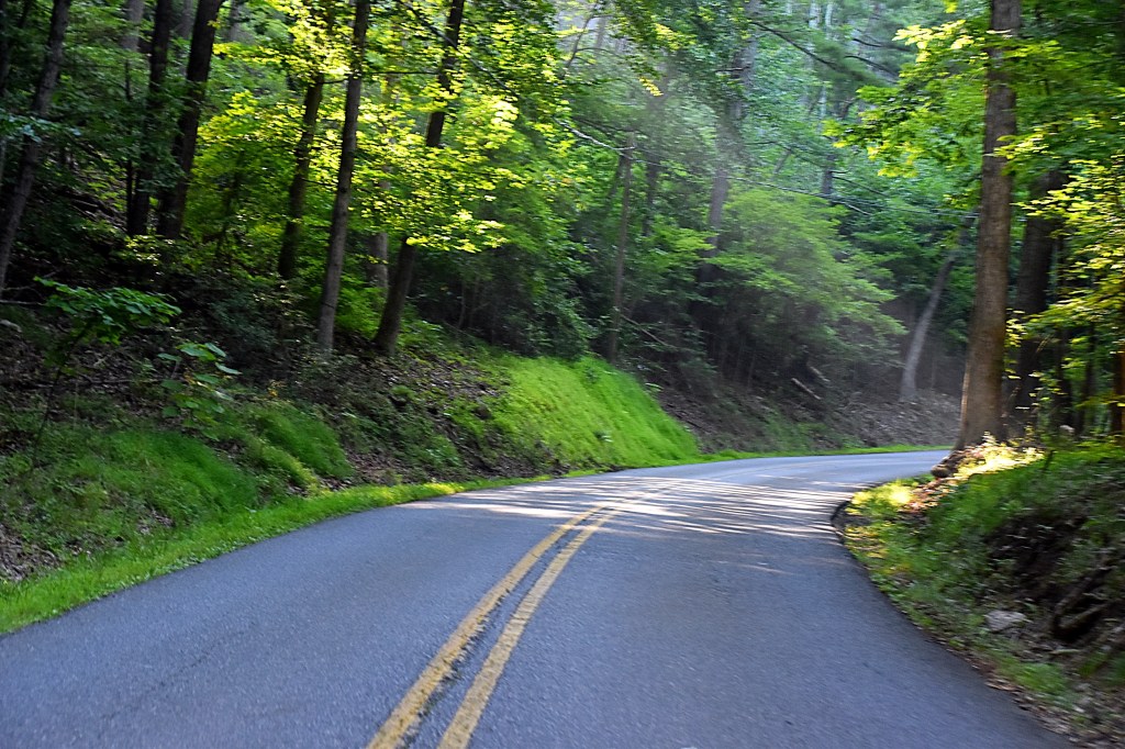
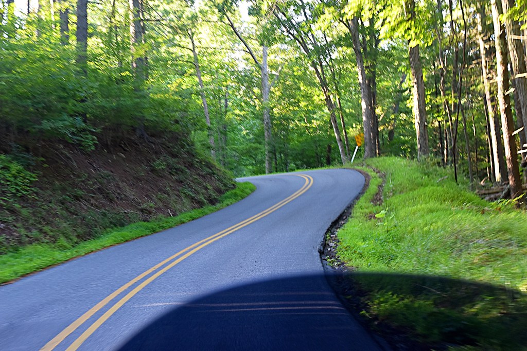
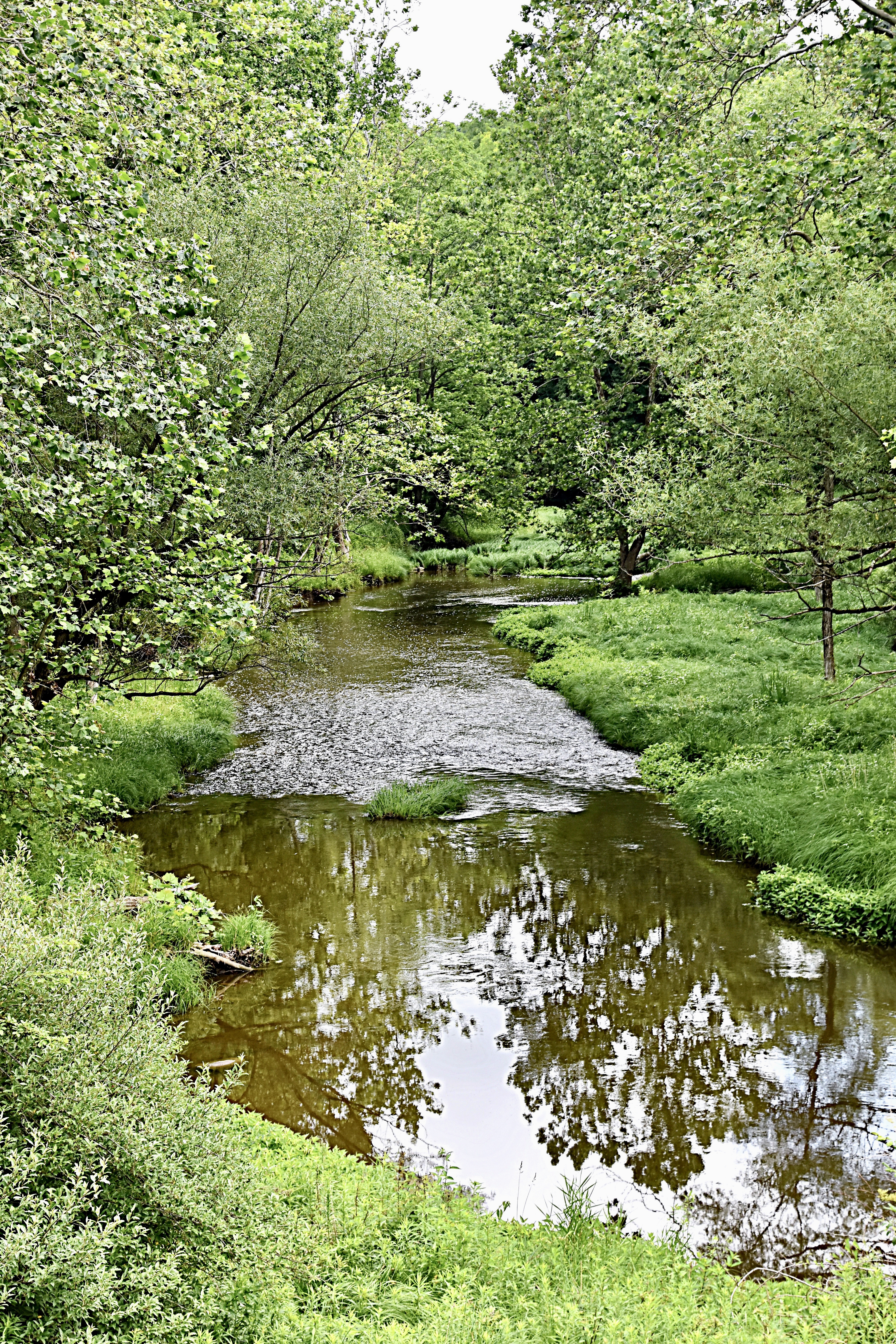
Yesterday we stopped at Netcher Road Covered Bridge, Giddings Road Covered Bridge and South Denmark Covered Bridge. These three are close together and make for a nice day trip. All three are located in Jefferson, Oh and cross over Mill Creek. The total trip for us was around 140 miles. We stayed off the major highways and enjoyed the country roads.

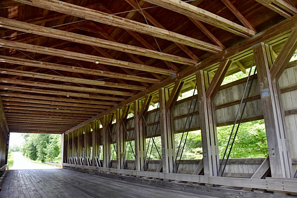
First stop was Netcher Road Covered Bridge located at 1544 Netcher Rd, Jefferson, OH. The bridge is 110 feet long, 22 feet wide and 14 feet size inches tall, and was open to traffic in 1999.

On either side of the bridge there are small pull offs so that you can stop and check the bridge out a little closer, and if you’re like me snap some pictures.

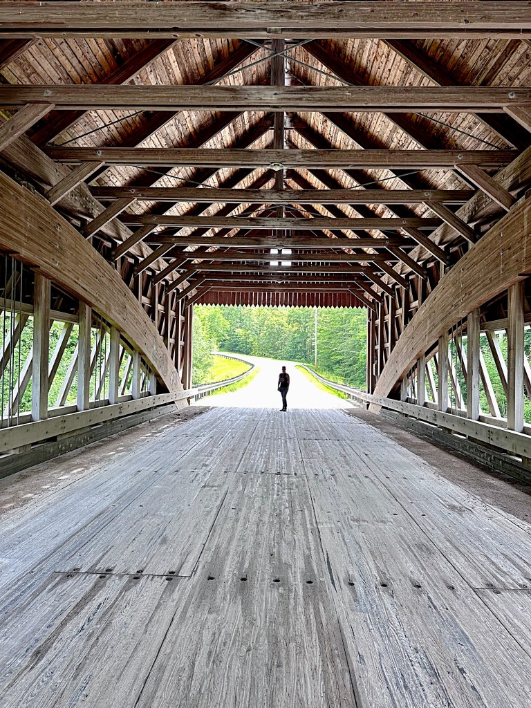
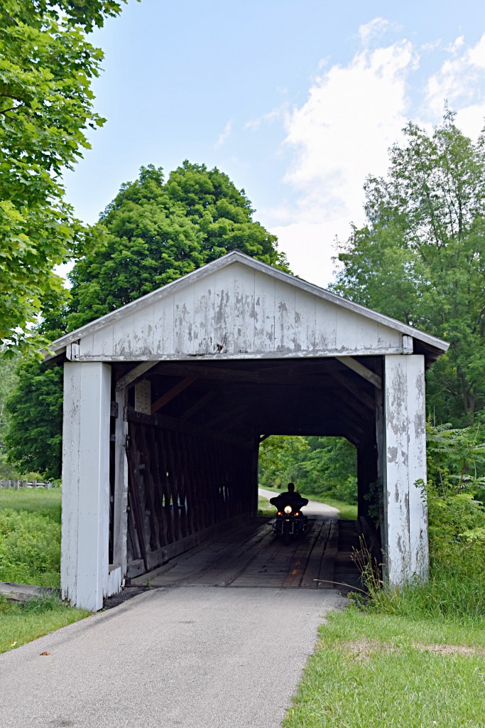
Next up was Giddings Road Covered Bridge, just 3 miles from Netcher, located at 1399 Giddings Rd, Jefferson, OH. This bridge was built in 1995 and 107 feet long. There is only one small pull off, you may need to just park along the road if you’d like to stop and walk the bridge.

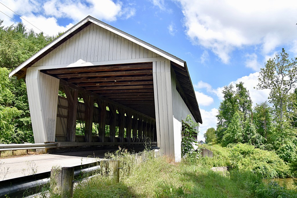
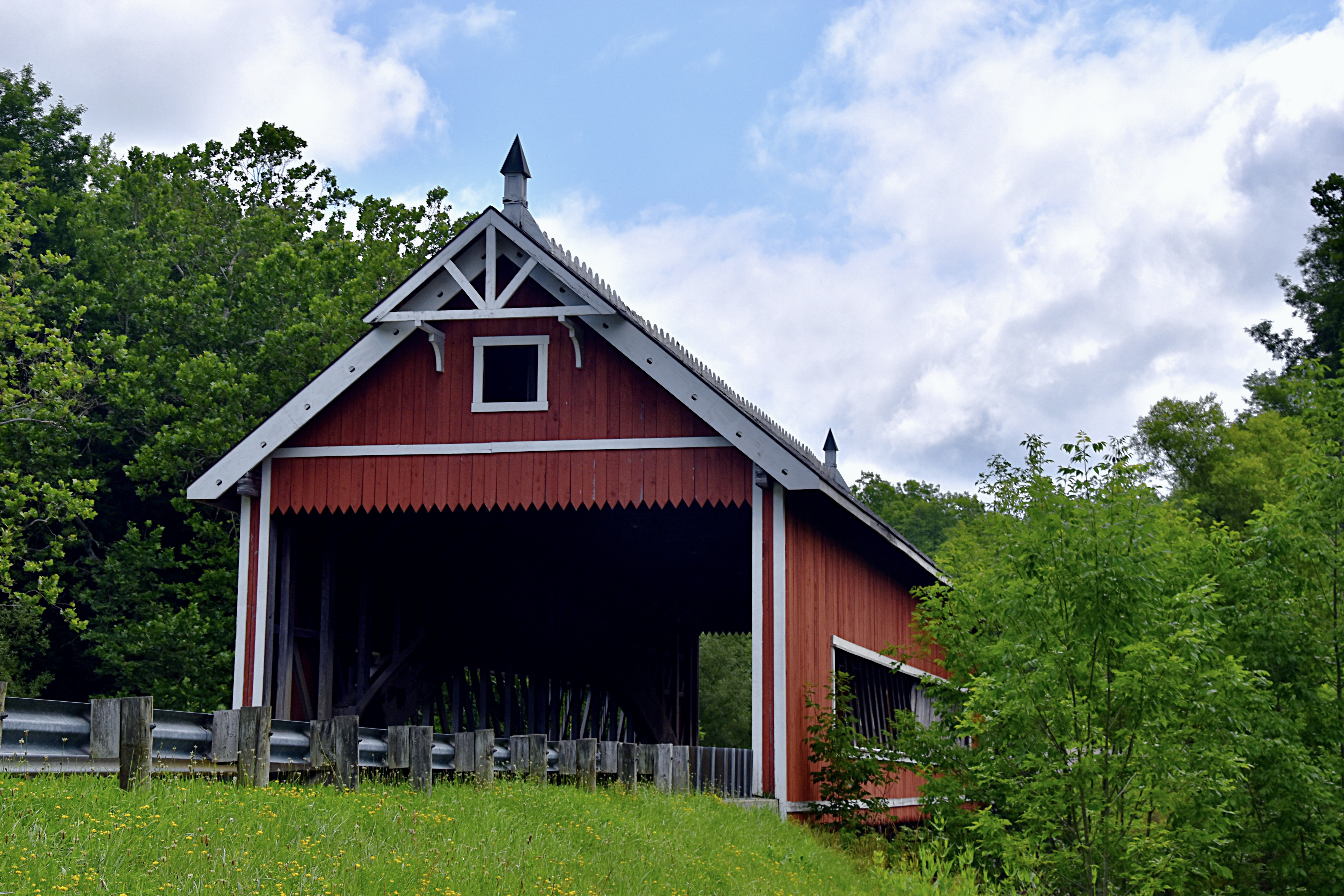
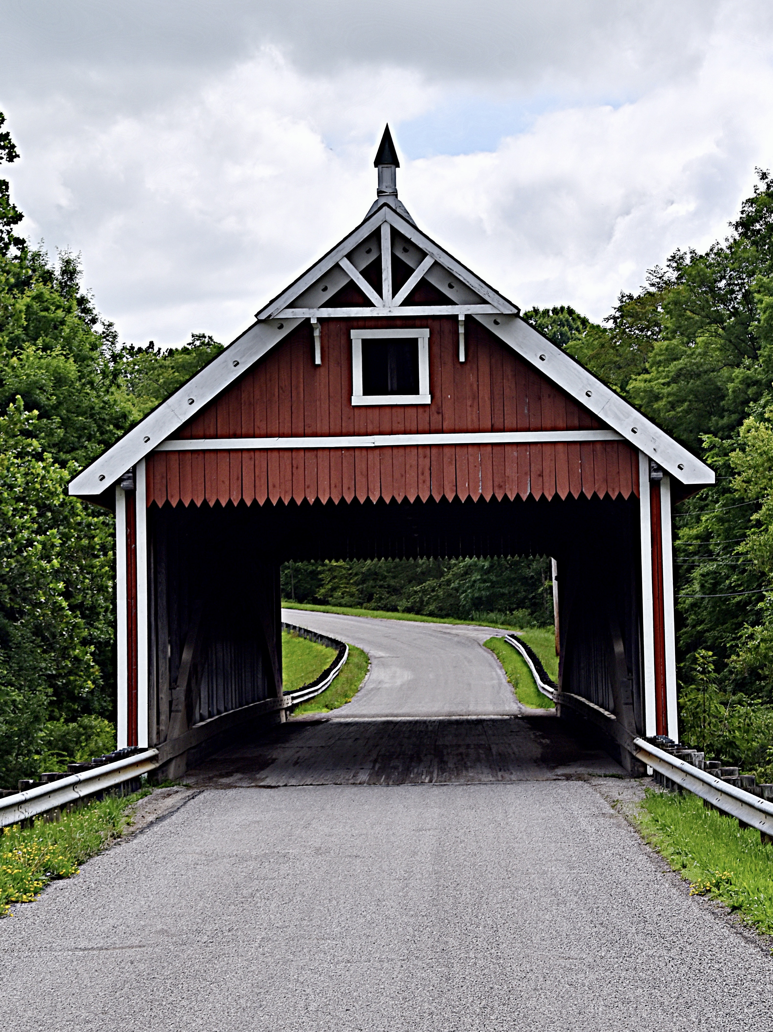
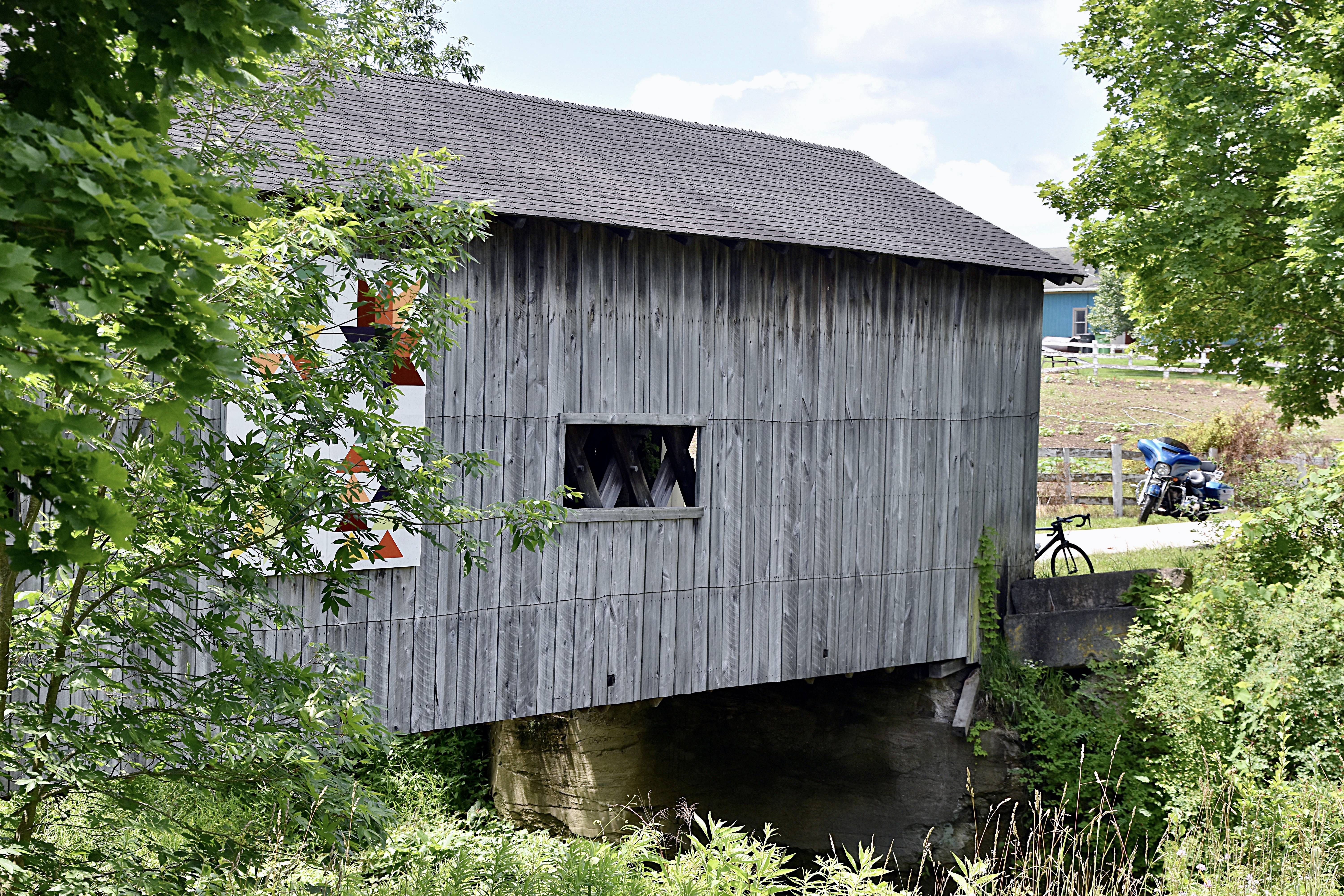
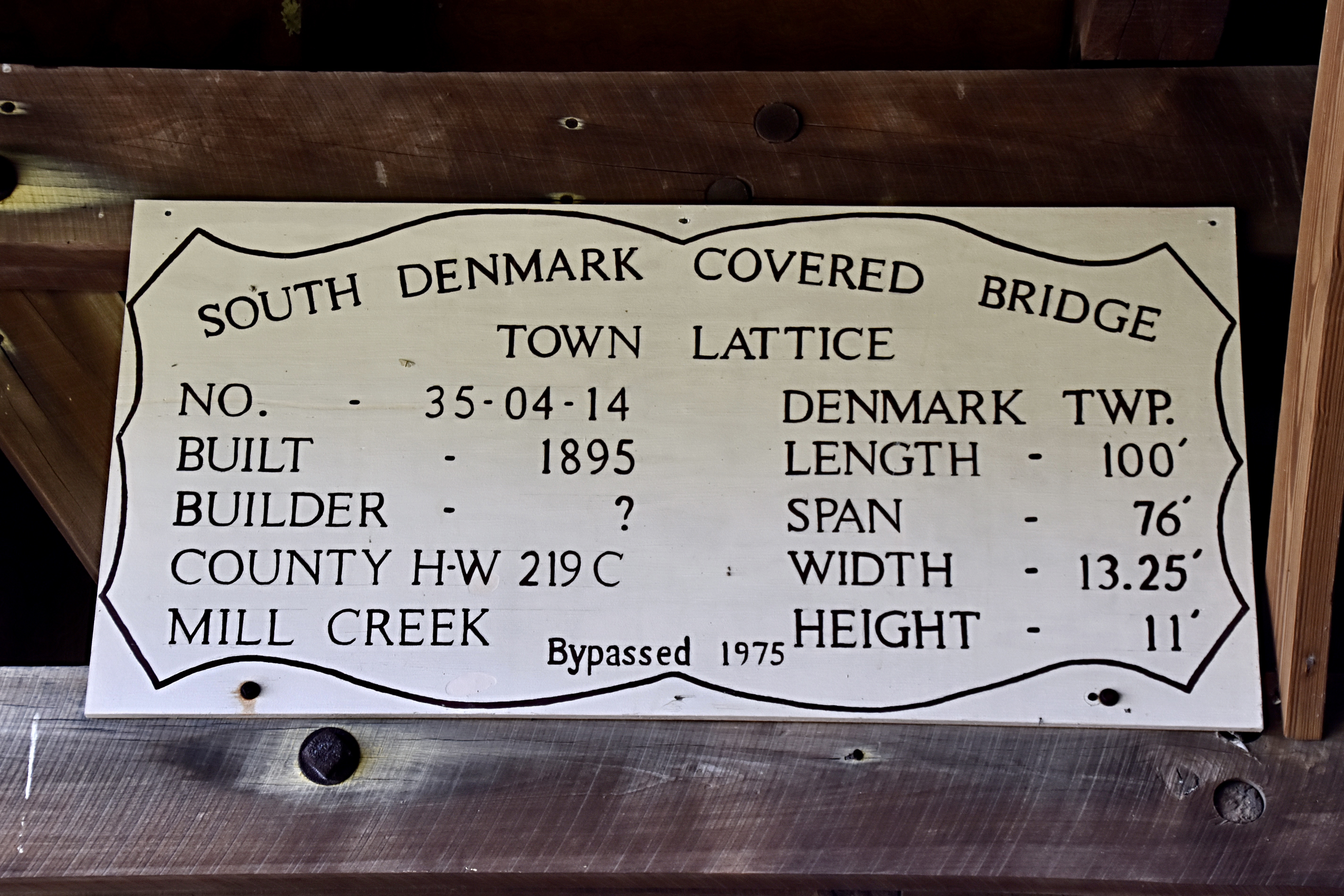
The last bridge of the day was South Denmark Covered Bridge. Located at 2670 S. Denmark Rd, Jefferson, OH is is about 8 miles from the Giddings Road bridge.

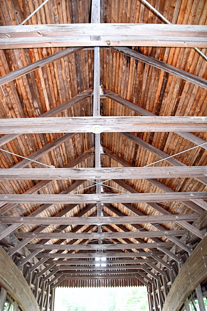
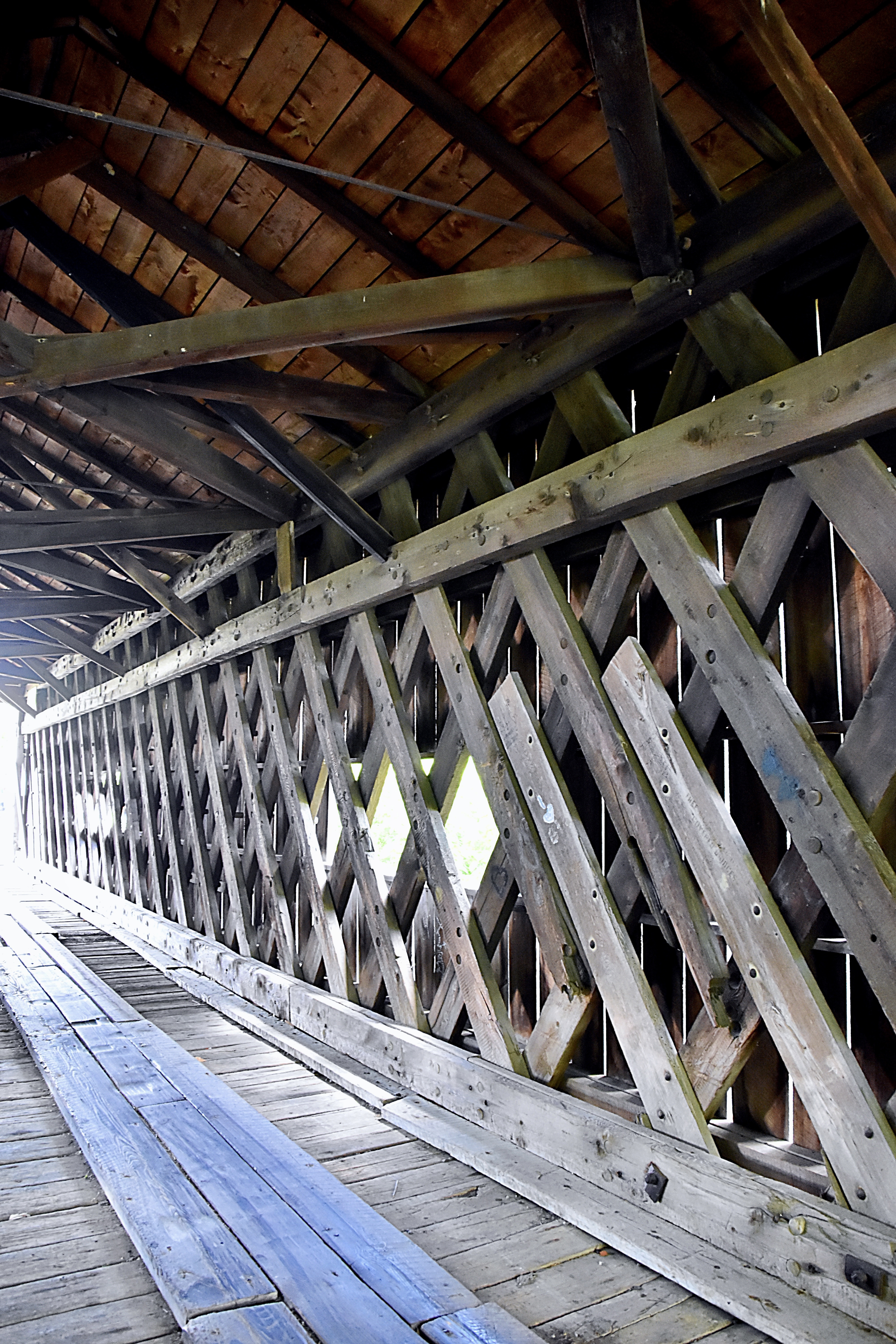
This bridge was built in 1890, but bypassed with a steel bridge in 1975. Access to the bridge is easy and can still be driven across by any vehicle under 4 tons.

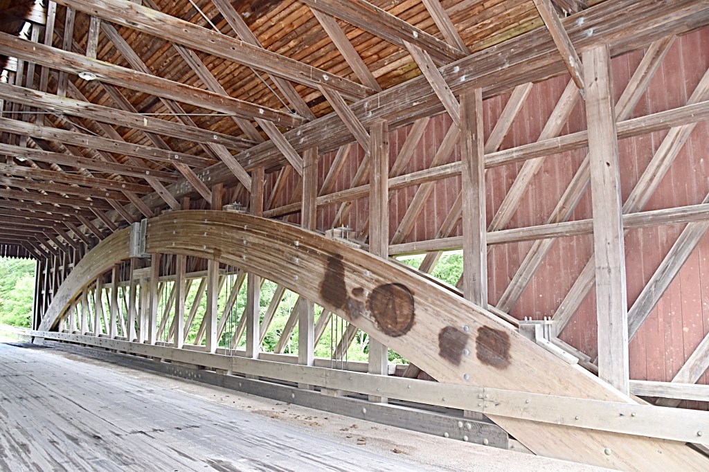
The South Denmark Covered Bridge is 100 feet long with a span of 76 feet, 13.24 feet wide and 11 feet high.

After checking out the bridges we made our way to Jamestown, PA to try to find a bite to eat. Most places were closed for the 4th but the Jamestown Hunger Buster was open and serving great food and had a ton of options for your sweet tooth. They offer over 24 flavors of soft serve ice cream, just as many flavors of hard ice cream, shaved ice and so many more desserts. This little shop even has their own bakery.

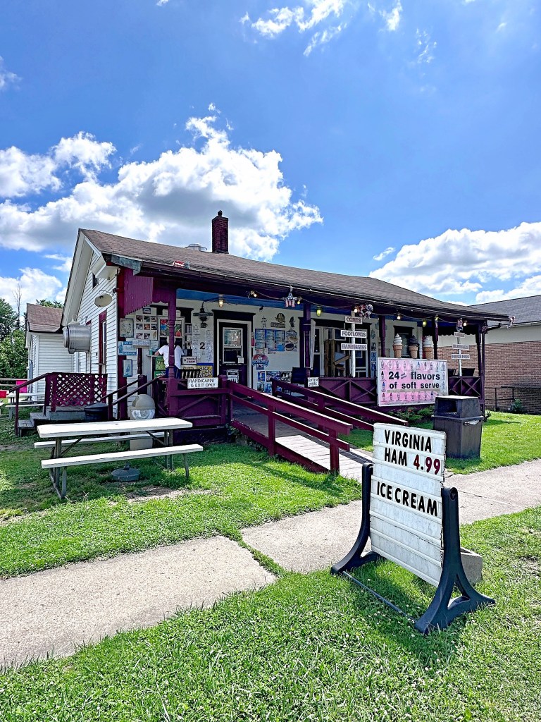
There is some outside seating, but the only tables out of the sun are on the small porch. Another option is always to grab you food and head up to Pymatuning State Park just up the road and enjoy the lake view while eating.

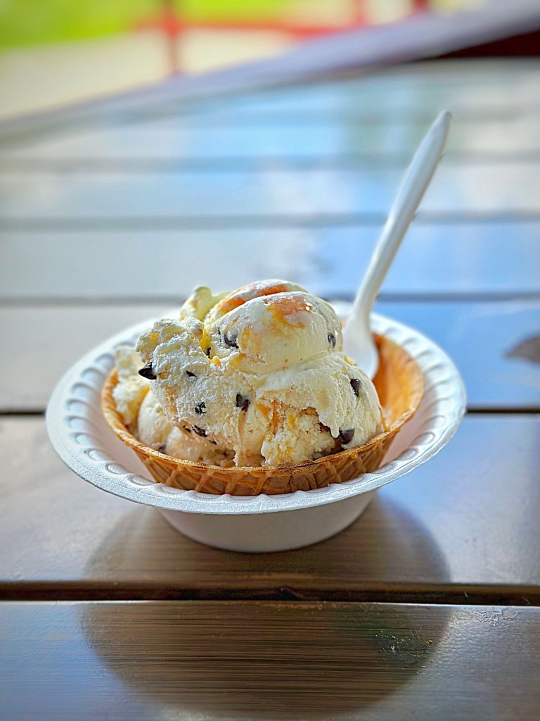
We opted to split one of their wedges so we had room for ice cream. I’m glad be did because it was stacked with meat and cheese, and boy was it good. We tried three flavors of the hard ice cream, Brown Butter Bourbon Truffle, Midnight Carmel River and Carmel Cheesecake Cookie Monster. They were all delicious but the Brown Butter Bourbon Truffle was my favorite.

Bellies full, we headed back home for the day.

A couple tips when exploring the Ashtabula Covered Bridges:

  • Check out the area you are exploring for the day and plan ahead for somewhere to get something to eat and drink. Some of the bridges are off on their own so you may want to figure you dining options in ahead of time.
  • Second is related to the location of the bridges as well….restrooms. Most but not all of the bridges do not offer a restroom close, so again just be aware and plan before you head out.

Dragon P9

Working our way home, the last day of our trip we were traveling through beautiful West Virginia. There is always someplace interesting to explore in this state. On this trip we stopped in Sutton, which is home to two fascinating museums as well as the Sutton Dam.

The first was The Flatwoods Monster Museum, which also serves as the Braxton County Visitors Center. This museum houses fascinating memorabilia and souvenirs, as well as tells the story of the Flatwoods Monster. The story goes…

On September 12, 1952, several residents of Flatwoods, West Virginia, reported seeing a bright object soar across the sky and land on a nearby farm. Terrified but intrigued, they went to discover what it could be. As the group came down the hill onto the farm, they were confronted with n alien creature. Described as being at least ten feet tall with a green skirted body, having a round, red face surrounded by a spade shaped “hood”, and bulging eyes. The creature let out a series of shrill hisses and loud thumps and started to glide not walk toward the witnesses, who fled in terror. They were also violently ill, victims of some sort of poison gas emitted by the creature. Subsequent visitors found no trace of the saucer or the monster, but they did notice a “sickening, burnt, metallic odor” that could not be explained.

The stories of the Flatwoods Monster, which was also known as the Braxton County monster, Braxie, or Phantom of the Flatwoods, started to spread around West Virginia and even more widely throughout the country, as reports made the national news. Though the creature was not seen again after 1952, its tale became cemented in local lure.

The museum is small, but an interesting stop. One of my favorite parts…the furry greeter.

The second museum is dedicated to the legend of bigfoot. In Appalachian folklore, these creatures were referred to as “Old Men of the Mountain,” and were thought of as lucky omens, believed to keep black bears away from livestock.

It wasn’t until 2021 when West Virginia cryptid hunter Les O’Dell started looking for somewhere to display his collection of bigfoot casts that this small gift store in Sutton was transformed into the Bigfoot Museum.

Since then, the museum’s collection has grown substantially, and now features nearly 40 different plaster casts that are believed to belong to bigfoot-type creatures. Making it one of the largest collections of bigfoot casts in the world.

The museum also has hair, records of sightings and other bigfoot memorbilia as well as bigfoot merchandise. If you visit make sure to sign the guestbook which contains visitors from all over the world from Hawaii to France.

By the looks of their website a lot has changed since we were there, so I’d love to go back and check the museum out again….maybe during the festival.

Our final site to see in Sutton was the dam. The groundbreaking for the Sutton Dam was in 1956, and the dam was completed in July of 1961. It stands 210 ft high and has a top length of 1,178 ft.

The top of the dam offers a beautiful view of the lake. The day we were there, it looked like they were doing a little renovating to the entrance building at the top of the dam.

Below the dam there is a small park. It offers several picnic areas, a restroom and playground.

After Sutton, we worked our way north on Route 19 and stopped for a bite to eat at DJ’s 50’s & 60’s Diner in Fairmount, WV.

Walking into the diner is like taking a step back in time. The vintage touches added, and musical memorabilia make you feel like you’re back in the 50’s and 60’s. The home style food is served in generous portions and will fill any hungry traveler’s belly.

After filling up, we headed home. Day 5 we racked up 266 miles. The mileage for the entire trip was 1,239.

This wrapped up the Claw of the Dragon trip and also meant that we had completed the entire “Dragon”….goal achieved, and ready for the next one.

Dragon P8

Day 4 of our Claw of the Dragon trip finished up the actual Claw. This day I had scheduled a zip line tour with Hungry Mother Adventure. We had a great time, unfortunately I did not get any pictures while we were zipling.

In the morning we had some time before our reservation so we did some exploring in Wytheville, VA. When you approach the town you can’t miss the hot-air-balloon-themed water tower with the town name on it. Also throughout the town you will see signs with the town name and the slogan, “There’s only one!” This is because if you do a search you will find that while most city names are used more than once the city of Wytheville only exists in Virginia.

First stop was the Great Lakes to Florida Highway Museum. Unfortunately the museum was not open when we were there but we did get to check out the old gas station…check out the pumps and those prices!! Don’t we all wish gas was still that cheap.

Next stop, Main Street to get some pictures of the famous “big pencil” that hangs on the outside of the Wytheville Office Supply Store. It’s not hard to find this roadside attractions since the metal pencil is approximately 30 feet long.

In the early 1960’s John Campbell Findlay, former owner of the Wytheville Office Supply Store, had the “big pencil” constructed as an advertising gimmick. He hoped other business owners would do similar things to attract travelers on US Hwy 21, the main highway at that time, to stop in Wytheville and shop.

The “big pencil” also gained some fame in December 2000 when it was the features in a national syndicated comic strip “Zippy” by Bill Griffith.

Comic source Doggo Bloggo

Our last stop in Wytheville before heading to the zip line tour was Black Bear Harley-Davidson. This dealership has a good-sized store and I loved the theming.

After our zip line tour we started heading north, making our way home. The last stop of the day was a place we had passed on our way down and back on our first trip, and I was not going home without stopping this time….The Tractor Bar.

The Tractor Bar is located in Mt. Nebo, WV not far off of Route 19. The bar actually made it into GQ Magazine on their list of the 12 wackiest and weirdest bars in America.

It turns out, The Tractor Bar, was an actual tractor dealership back in the early 90’s. After hard times fell upon the business, the owner decided to turn it into a bar. But the money was tight, so the bar and decor were pieced together from things laying around the tractor dealership. In fact, the beautiful red tractor in the middle of the bar was sitting in the weeds behind the dealership before they dragged it out, gave it a good cleaning and paint job and turned it into the centerpiece of the bar.

If you stop to check this place out make sure to walk around and check out all the interesting decorations both inside and on their back patio. Oh and the food is good too, lol. We of coarse had to try their wings and enjoy a couple cold beverages. Before you leave you might also want to check out there little souvenir shop…the products are as interesting as the decor.

After dinner we continued north on Route 19 to Summersville and found a hotel for the night. Total miles for day 4 of our Claw trip, 193.

Dragon P7

Day 3 of the Claw trip we had a lot of miles we planned to cover, so we got up grabbed a quick breakfast and we’re back on the road. First stop, Shot Tower Historical State Park.

Located near New River Trail in Austinville, VA, the centerpiece of the park is the Jackson Ferry Shot Tower. Built over 200 years ago, the Shot tower overlooks the New River.

The historic landmark was used by early settlers to create ammunition. Lead from local mines would be melted down with a wood furnace at the top of the tower, then poured through a sieve forming drops of lead. The droplets would then fall 150 feet to become spherical and cool, becoming rigid as they did. In order to complete the cooling process, and to provide a soft landing to stop deforming, the newly formed shot landed in a kettle of water at the bottom of the tower.

The construction of the Jackson Ferry Tower is different from most shot towers for a couple of reasons. First, the tower was constructed of limestone rather than brick. This not only made the walls stronger, it also kept the interior temperature of the tower cooler and more consistent. These two factors improved the quality of the shot produced in this tower. Second, the location of the tower provided the designers with an advantage. They were able to build the tower on the edge of the cliff and reduce the height of the tower while maintaining the 150-foot drop that was necessary for the process by digging a 75-foot vertical shaft in the ground. A horizontal tunnel was then added near the shore of the river that gave them access to the bottom of the shaft.

Diagram from the Henrico County Historical Society

The park is open year round from dawn to dusk, and on scheduled days during the summer the tower is open for tours. The park is free, but there is a fee for the tour. Unfortunately, the day we stopped there was no tour available. There is also a nice picnic area and several spots to just sit under the trees and enjoy the peacefulness of the countryside.

Next up was Historic Foster Falls located in the New River State Park, which is under 3 miles from the Shot Tower. The village of Foster Falls was the product of the iron industry that flourished in the New River Valley in the 19th and early 20th centuries.

An iron furnace was constructed in 1881 at Foster Falls, followed by a railroad passenger-and-freight station close by leading to other businesses to locate there. By 1895 the village had a population of 296, a Victorian-style hotel, post office, gristmill, sawmill, general store, distillery and 100 houses.

Five years after the furnaces ceased in operations, the hotel changed ownership. The once elegant hotel that was the centerpiece of the village was turned into an industrial school for young women. Then in 1938, it became a co-ed orphanage. By 1962, the building had fallen into disrepair and the children’s home was relocated. After years of being abandoned, the building is now being restored and will serve as a state park lodging establishment. I would love to go back when it is completed and stay at this historic spot.

More information can be found on the Virginia DCR website.

Remnants of the furnace built by the Foster Falls Mining and Manufacturing Company, can be seen when you visit the park. This furnace was the last of the cold-blast, charcoal-fueled furnaces to operate in the southwestern Virginia region.

The furnace employed 80 men and produced 3,000 ton of pig iron annually at it’s peak. The iron-ore used was brought in from several local mines, the New River provided the water power and the extension added by Norfolk and Western Railway in 1882 provided easy distribution.

The railroad passenger station built in 1887 for the Norfolk & Western Railway, later called the Cripple Creek Branch, still remains in the Foster Fall Historic District. Restored by the New River Tail State Park, it now serves as a visitors’ center as well as a gift shop. We stopped in to get a cold drink and of course a small souvenir. Across from the visitor center is also a Norfolk and Western train car.

The park also has the remains of several other buildings from the historic Foster Falls village that you can view while exploring the park. In addition to the history of the village, the New River Trail State Park also offers several nice picnic areas, primitive campsites by the river and trails that visitors can explore. While we were there we took a short hike to the river to see the falls and also got to see some wildlife.

After leaving Foster Falls, we continued on the roads that make up the Claw of the Dragon and stopped at Draper Mountain Overlook located on US Route 11 in Pulaski, VA. The overlook was named for John Draper, an early settler of the Virginia Frontier and the land along the New River.

In 1755 the Shawnee Indians raided the Viginia Frontier and John’s wife, siter-in-law and five others were taken captive and taken back to the Shawnee Camps in the Ohio River Valley. While John’s sister-in-law was able to escape and travel more than 850 miles back to the New River Valley, John’s wife remained a captive. She lived for 6 years with the family of an Indian Chief until John found her and was able to barter for her release. In 1765 John and his wife moved from Draper’s Meadow to area seen below the overlook, which is known as Draper’s Valley.

In addition to the interesting story of the overlook and surrounding area’s name there are also remnants of several structures.

The overlook offer plenty of parking on both sides of the roads, some picnic tables and hiking trails.

We traveled more of the winding mountain roads and found a hotel for the night. Below are just some of the interesting things we saw along the way. Our total mileage for day 3 of our Claw of the Dragon trip was 208 miles.

The Dragon P6

Day 2 of the Claw of the Dragon we woke up to a beautiful sunrise from the Big Walker Motel.

First stop was the Back of the Dragon shop in Tazwell. We picked up some BOTD souvenirs and visited with another rider before hitting the road again.

We traveled along the outer loop down the winding mountain roads going through beautiful countryside and several charming towns. Our next stop was the Grayson Highlands State Park.

Located in Mouth of Wilson, Virginia it is most often described as having alpine-like peaks. With elevations 5,000 ft, Grayson Highlands offers extraordinary views. Although we did not get to see them during our stop, the park is also well known for its wild ponies.

Heading towards the top, there is a visitor center that showcases exhibits and educational items on the history of the area. It covers topics like moonshine, music, the wildlife and lifestyle of the area and much more. You can also do some shopping in the Mountain Crafts Shop. The shop offers crafts and other gifts made by local artisans.

Close to the visitor’s center there is a nice overlook that is just a short walk called Buzzard Rock Overlook. At the time of English settlers, turkey vultures would nest in the rocks and reminded the settlers of the buzzard hawks of their homeland, hence the name “Buzzard Rock”.

After coming back now from the visitor’s center, we headed east on Route 58. Not far from the park entrance there was a gas station with a store inside that had a little bit of everything. It made the perfect backdrop for some pictures while we fueled up, and the owner was very friendly and talkative.

After fueling up, we continued on 58 and found a nice hotel near Hillsville to stop for the night. Total miles for Day 2 of our Claw trip were 183.

Check back for Dragon Trip part 6, our third day riding the Claw of the Dragon.

The Dragon P5

Our first trip we covered the head, neck, back and tail of the dragon. To complete the entire Dragon we took a second trip to the Claw of the Dragon. We saved the Claw for a separate trip because it is made up of 6 loops; the Wytheville, Galax, Bastian, Bland, Marion and Outer Loop. The entire Claw winds through 7 counties and totals over 350 miles. Located in Southwest Virginia the country roads of the Claw offer breathtaking views of the Blue Ridge Mountain range and surrounding countryside. There are several sources for information and maps about the Claw including the Wytheville tourism site and REVER.

Map from the Visit Wytheville website

Day 1 was mainly spent traveling. The one attraction we did see the first day was Big Walker Lookout and BW Country Store. Located on the Wythe/Bland County Line, Big Walker Lookout is the highest point on the Big Walker Mountain National Scenic Byway, which is the scenic bypass for I-77.

Big Walker Lookout offers amazing views from an observation tower and charming country store. The store sells a variety of items including handmade products from the Southwestern Virginia, Claw of the Dragon merchandise and my BF’s favorite part of the store…ice cream. There is plenty of seating and interesting decor to take in outside the store.

While BF was enjoying his ice cream I was able to get some great shots of a hummingbird who was also enjoying some sweet treats provided by the store.

The observation tower has been run by the same family since it was was originally built in 1947.

Originally, visitors crossed to the tower by way of a swinging bridge that connected to the back of the old general store, however in 2003 there was a fire that burned the original store down and a portion of the bridge. The swinging bridge that was not destroyed in the fire and still stands and offers great picture opportunities. Please overlook me being an oddball tying swing the bridge.

Located at an elevation of 3,405 feet, it is said on a clear day the 100 foot tower offers views of mountain peaks in five different states. Whether that is true or not, all I know is the climb up the tower is well worth the amazing views you get from the top.

The first day we covered 389 miles. We stayed the night at a nice little place in Bland, Big Walker Motel. It was a little dated, but it was clean and a great location for this trip.

The Dragon P4

In this post I’m going to cover days 4, 5 and 6 of our trip to complete “the Dragon”. The 4th and 6th days there isn’t as much to cover so I think all three can be covered in post.

On day 4 we headed north making our way to the Head of the Dragon when we hit rain. We made it up to Bluefield, WV close to the Head of the Dragon and found a hotel to get out of the weather. We enjoyed some wings and drinks at the hotel bar then chilled out the rest of the night. Even though it was a pretty uneventful day we put on 285 miles and I did manage to snag a few pictures, including a chicken truck we quickly made our way around….that is definitely not something you want to be behind or beside when you are on a bike lol.

By the next day the rain had cleared up and we started towards the Head of the Dragon. On the way we stopped at Pinnacle Rock State Park located along Route 52, near historic Bramwell in Mercer County, WV. Pinnacle Rock is an unusual sandstone formation that reaches 3,100ft above sea level. The rock grain of the Allegheny Mountains runs horizontally. However, the rock grain in Pinnacle runs vertical, so it is believed the earth’s crust was broken in this area of West Virginia, standing these rocks on edge.

The Head of the Dragon was just a short ride from Pinnacle Rock State Park. The 91-mile loop located in McDowell County West Virginia is a beautiful ride amongst the Appalachian Mountains. The Head of the Dragon includes sections Route 52, Route 80, Route 83, Route 16, and Route 161, and travels through the local communities of: Welch, Iaeger, Bradshaw, War, Bishop, Elkhorn, Northfork, Keystone, and Kimball.

After completing the Head of the Dragon we traveled north towards Athens, WV. Close to the exit of Athens off of I-77 is Brush Creek Falls. The 33′ waterfall is a short hike, 1/4 mile, off the road down a dirt path.

A sign near the falls explains how the site was used for grist and woolen mills as early as 1851 and continuing until about 1909. It is believed that the falls trail may have been the wagon road serving the mill. Eventually the trail became the railroad bed used by the Bluestone Land and Lumber company to haul logs to a saw mill in Gardener from 1907-1916. During that time logging camp was located downstream from the falls.

Continuing north on Route 19 our next stop was the New River Gorge Bridge. We crossed over the bridge then stopped at the Canyon Rim Visitors Center. The visitors center building was closed, but we walked down the wooded walkway to to the overlook which offered a beautiful view of the bridge and gorge.

Completed October 22, 1977, the New River Gorge Bridge is 3,032ft long and has an arch 1,700ft long. It was the world’s longest single-span arch bridge from 1977 until 2003, it’s now the 5th longest.

The roadway of the bridge is 876ft above the New River, making it the 3rd highest vehicular bridge in the US.

Some great information about the bridge can be found here as well as from the WV DOT.

After we were done there we stopped at a shop just down the road, Canyon Rim Gifts. You could actually walk to it from the visitor center parking area. Here my BF enjoyed some ice cream while I did a little shopping in the store. It was a great shop and had a little bit of everything. Every kind of West Virginia souvenir you could want, home accents, outdoor decorations….the list goes on and on. There was a lot packed into this shop and it was laid out very well. After I got my shopping fix, well at least what is feasible with the limited packing space on the bike, we hopped back on the bike and headed down towards the bottom of the gorge. The road leading down is a nice road twisting and turning along the rocks of the gorge.

Along the way we stopped and explored some of the trails winding amongst the sandstone rocks and watched some rock climbers.

Continuing down the road we reached the the river and took a single truss bridge, Tunney Hunsaker Bridge, also known as Fayette Station Bridge across.  The construction of this bridge was completed in 1889, but when the New River Gorge Bridge opened in 1977, the bridge, in a deteriorated state, was closed to traffic. Later it was rehabilitated and reopened in 1997. You can find more interesting history on this bridge here. After crossing the bridge the road wound back up the gorge to Route 19 where we crossed the New River Gorge Bridge a second time.

Taking Route 19 north we found a place to stay the night. Total mileage for day 5 was 178 miles.

Our final day of trip 1 of the Dragon we covered a lot of ground, 252 miles. Our only site seeing stop was a scenic overlook along Route 19. This is a great place to stop and stretch a little and I was able to get some great shots.

Our total mileage for this trip was 1,683 miles. Traveling from western PA to just over the North Carolina state line and back, and completing all parts of the Dragon except the Claw. Please check back to read about our Claw of the Dragon trip, and the completion of “the Dragon”.

For my Roadtripper trips related to this post please use the links below. You will find a little variance in the original trip plans and our actual trip details. When taking any road trip the original plans tend to be just a rough itinerary that tend to change as you go….this is especially true when you are doing the trip by bike.

Dragon Day 4/5

Dragon Day 5/6

The Dragon P3

On our way to the famous Tail of the Dragon on day three we stopped at Look Rock Overlook. Located on the scenic Foothills Parkway, Look Rock Overlook provides a scenic view of the Great Smoky Mountain National Park. It was another hot day, so we decided to not take the hike to the Look Rock Tower. Which just gives us an adventure for another time.

Continuing on we reached the beginning of the famed Tail of the Dragon. Located on US Route 129, the Tail of the Dragon begins at the Tabcat Creek Bridge in Tennessee and ends in North Carolina at the intersection of NC 28 and US 129…depending on where you start. We rode it south, then back, so we could experience it both directions. Although it did not gain national attention until the 1990’s it is considered a must do at least once for most motorcycle riders because this stretch of road has 318 curves in 11 short miles and no intersecting roads.

For more details on the history of the road check out the Tail of the Dragon website.

Deals Gap is located along the Tail of the Dragon at the North Carolina-Tennessee line. Here you will find the Deal’s Gap Motorcycle Resort, a place to grab a bite to eat, fill up your tank, shop for some Dragon gear, and get information about the Tail of the Dragon and other motorcycle roads in the area. There are some great maps here.

There is a lot of great photo ops at Deals Gap, including the Tree of Shame. According to the Deal’s Gap Motorcycle resort, the Tree of Shame was started in the 80’s by a group of riders, and is a makeshift shrine to those bitten by the Dragon. While its not something that anyone wants, it does happen, and when it does they have the victim sign and date a part from their bike and they add it to the tree.

The Tail of the Dragon is a beautiful ride weaving through dense forest and has several pull-offs, including the Calderwood Dam Overlook. This is a great spot to stop and get some pictures. There is plenty of room to park and the view is amazing.

Similar to the Back of the Dragon, there are photographers located along the Tail of the Dragon route that will take shots of you and post them for sale on their website. Unlike the BOTD there is a lot more information out there about these photography companies including when they will be there. When we rode there were several posted up at different spots along the road, and I did purchase a few when we got home. Some include killboy.com, 129shots.com, 129slayer.com.

When you ride the Tail of the Dragon make sure to venture south of Deals Gap to see the 225ft Cheoah Dam. At the time of it’s construction, completed in 1919, it was the world’s tallest over-flow dam in the world. It is now on the National Register of Historic Places.

The dam was made famous in the 1993 film, The Fugitive when Harrison Ford’s character made the leap from the top of the dam to elude capture. Which is why it is often referred to as Fugitive Dam.

There is a nice article about the dam here.

Even if you’re not a “Harley” person US 129 Dragon Harley-Davidson is located along the river and is a great spot to stop before or after you take on the Tail of the Dragon. When we stopped there as also a little mom and pop shed setup on the corner next to the HD shop selling motorcycle gear and Dragon merchandise. I’m not sure if they are still there, but if they are make sure to stop and check there little shop out too.

After a long day of riding, 285 miles and many sites, we started north and found some BBQ for dinner and a comfy bed to rest up for the next day.

Please check back for the next part of our adventure.

Below are the links my Roadtripper trips related to this post:

Dragon Day 3 -Part 1

Dragon Day 3 – Part 2


The Dragon Part 4

The Dragon P2

On day two of the Dragon trip we started with the Neck of the Dragon, which was just a short drive from where we had spent the night. The Neck, Rt. 56, is a scenic stretch of road that runs between Vesuvius, VA to Tyro, VA. With 220 curves in 12 miles this is a perfect motorcycle road. There isn’t much information out there about the Neck of the Dragon aside from an out-of-date Facebook page, but do not let that stop you from checking it out is is absolutely beautiful.

After the Neck of the Dragon we made our way towards the Back of the Dragon. Along the we stopped at Natural Bridge and the East River Mountain Overlook. Natural Bridge is a a natural arch within a limestone gorge formed by Cedar Creek. It is located at the junction of U.S Route 11 and State Route 130 in an unincorporated community in Rockbridge County Virginia named after the arch itself, Natural Bridge, VA. The arch can actually be driven across via U.S. Route 11.

The Natural Bridge is 215ft high, 40ft thick, 100ft wide and spans 90ft between the gorge walls. The arch contains 450,000 cu ft of rock weighing 36,000 ton and is estimated to be at least 500 million years old. At it’s peak, the bridge is 1,160ft above sea level.

On July 5, 1774, Thomas Jefferson purchased Natural Bridge and 157 surrounding acres for the equivalent of about $2.40.

Tickets must be purchased to view see this landmark, but they also give you access to the full Natural Bridge State Park. During on our visit we only took the trail to the arch and did not take in all the other sites of the park. It was a hot day and we were dressed for the ride, not the hike. I was glad we stopped and at least made the hike to see the Natural Bridge though….it was worth the sweat haha. I would like to go back and check out all that the Natural Bridge park and area has to offer. More information can be found here.

The East River Mountain Overlook is located in Bluefield, West Virginia. The overlook is on top of East River Mountain on Rt. 52, which was the main route south from the region before Interstate 77 was completed in 1974. Before Interstate 77 opened and the flow of traffic across the mountain dropped the overlook was home to the Ridge Runner, the “smallest railroad in the world,” The Ridge Runner was purchased and moved to the Bluefield City Park by the City of Bluefield in 1984. In September of 2022 the overlook officially became part of the Coal Heritage Trail with signage that also tells the site’s history.

The overlook not only offers a beautiful panoramic view of Bluefield and the surrounding mountains it also has a picnic area tucked in amongst the trees. Although we didn’t have a picnic with us on our visit it was a nice spot to stop to take in the view, then get out of the sun and relax for awhile in the picnic area.

After taking a little break at the overlook we headed towards the Back of the Dragon. Nestled in the Appalachian Mountains the Back of the Dragon lies between Tazwell and Marion, Virginia on Route 16. The road crosses three mountain ranges and offers 32 miles of switchbacks, sweeps, and hairpins. The curve tally is widely varies…between 260 to over 400 depending on what source you reference.

The Back of the Dragon winds through Hungry Mother State Park, and parts of Washington and Jefferson National Forest offering absolutely breathtaking views.

Whether your ride starts or ends in Tazwell make sure to stop in the Back of the Dragon shop. Here you can pick up some great BOTD merchandise, have a craft beer, or if coffee is more your style they have that too. The shop and their website also document the interesting history of the Back of the Dragon.

At various times throughout the the week/weekend there is also a photographer along the road that will capture you riding the Back of the Dragon, then you can purchase them from their website, BOTDPix. Unfortunately, I was not able to find much information about when and where the photographer would be during our trip, so we did not get any of these. If we go again I will contact the Back of the Dragon shop to get more information on the time and locations so we can plan accordingly.

On day two we traveled over 290 miles, and I took over 200 pictures.

Check back for part three of the Dragon.

For a lot of my trips I use Roadtrippers to lay them out. You can find the ones related to this post below.

Dragon Day 2 Part 1

Dragon Day 2 Part 2


Continue on to The Dragon P3