In this post I’m going to cover days 4, 5 and 6 of our trip to complete “the Dragon”. The 4th and 6th days there isn’t as much to cover so I think all three can be covered in post.
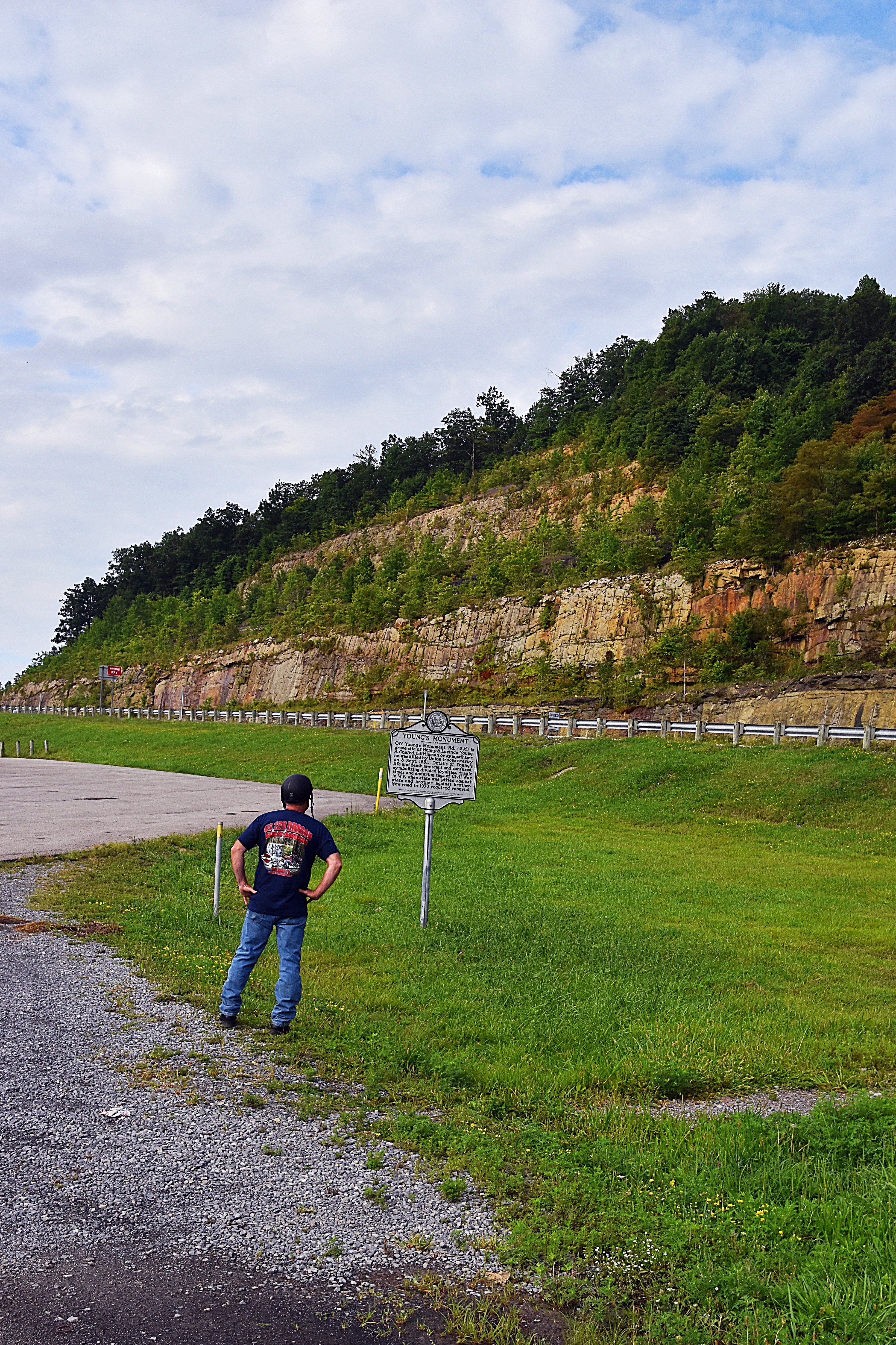
On day 4 we headed north making our way to the Head of the Dragon when we hit rain. We made it up to Bluefield, WV close to the Head of the Dragon and found a hotel to get out of the weather. We enjoyed some wings and drinks at the hotel bar then chilled out the rest of the night. Even though it was a pretty uneventful day we put on 285 miles and I did manage to snag a few pictures, including a chicken truck we quickly made our way around….that is definitely not something you want to be behind or beside when you are on a bike lol.


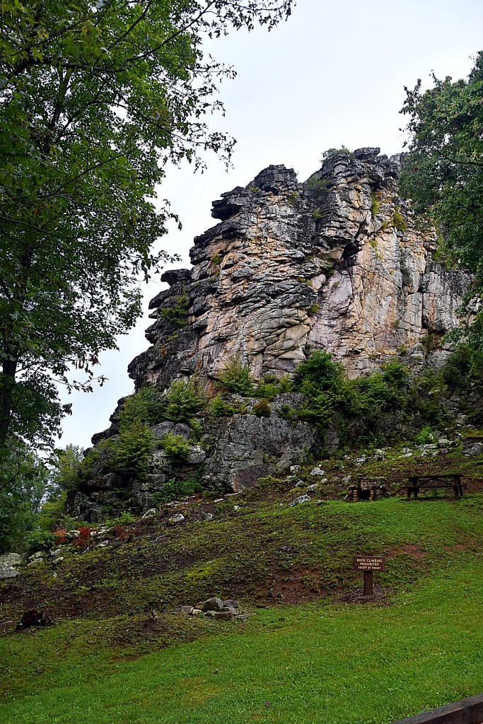
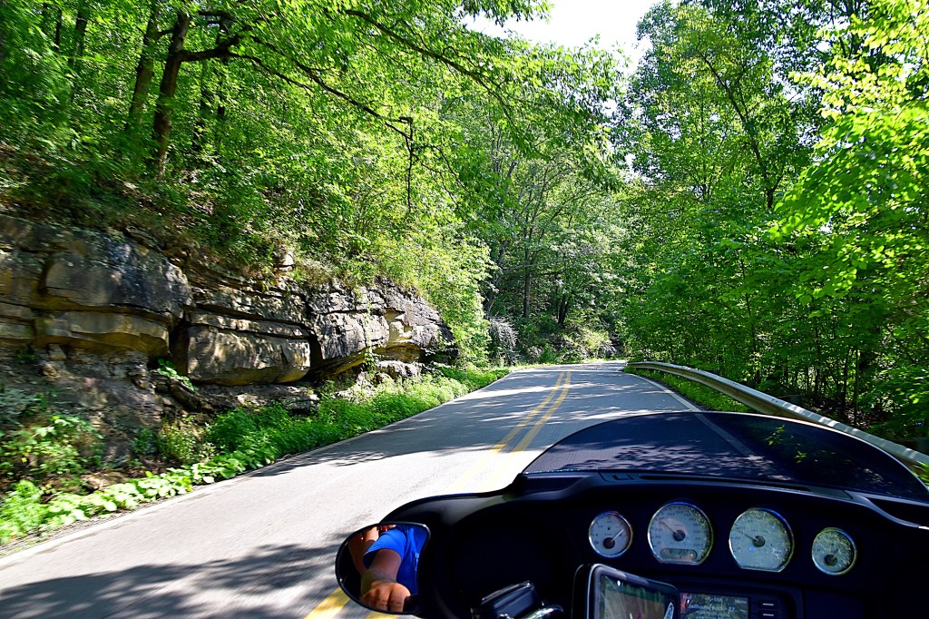
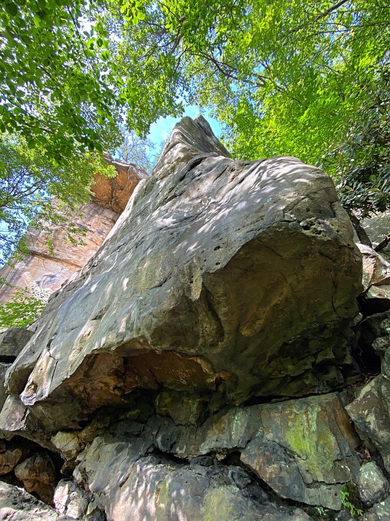
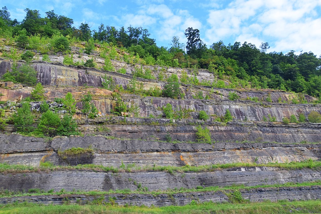
By the next day the rain had cleared up and we started towards the Head of the Dragon. On the way we stopped at Pinnacle Rock State Park located along Route 52, near historic Bramwell in Mercer County, WV. Pinnacle Rock is an unusual sandstone formation that reaches 3,100ft above sea level. The rock grain of the Allegheny Mountains runs horizontally. However, the rock grain in Pinnacle runs vertical, so it is believed the earth’s crust was broken in this area of West Virginia, standing these rocks on edge.


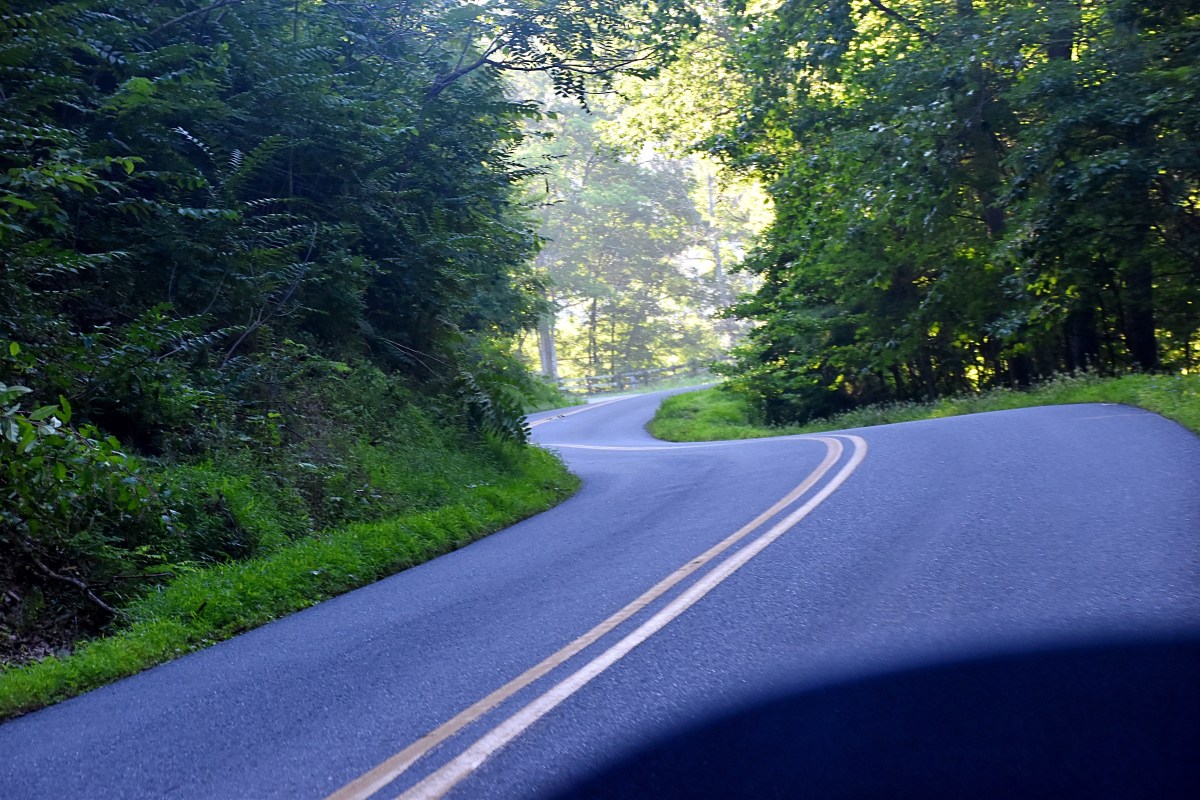
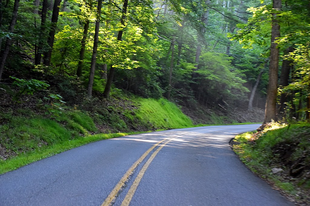
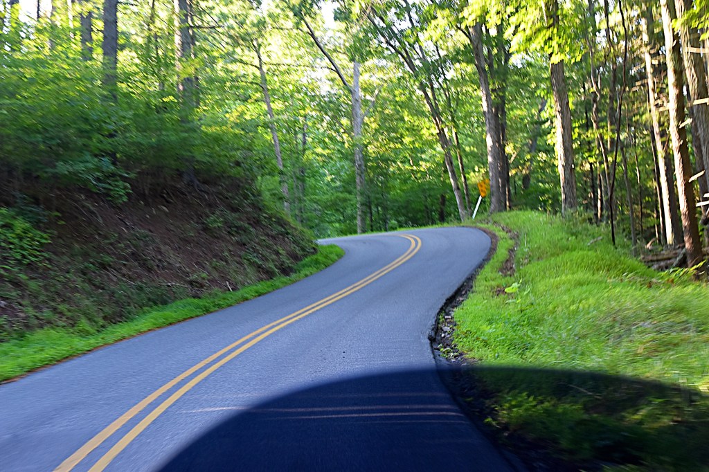
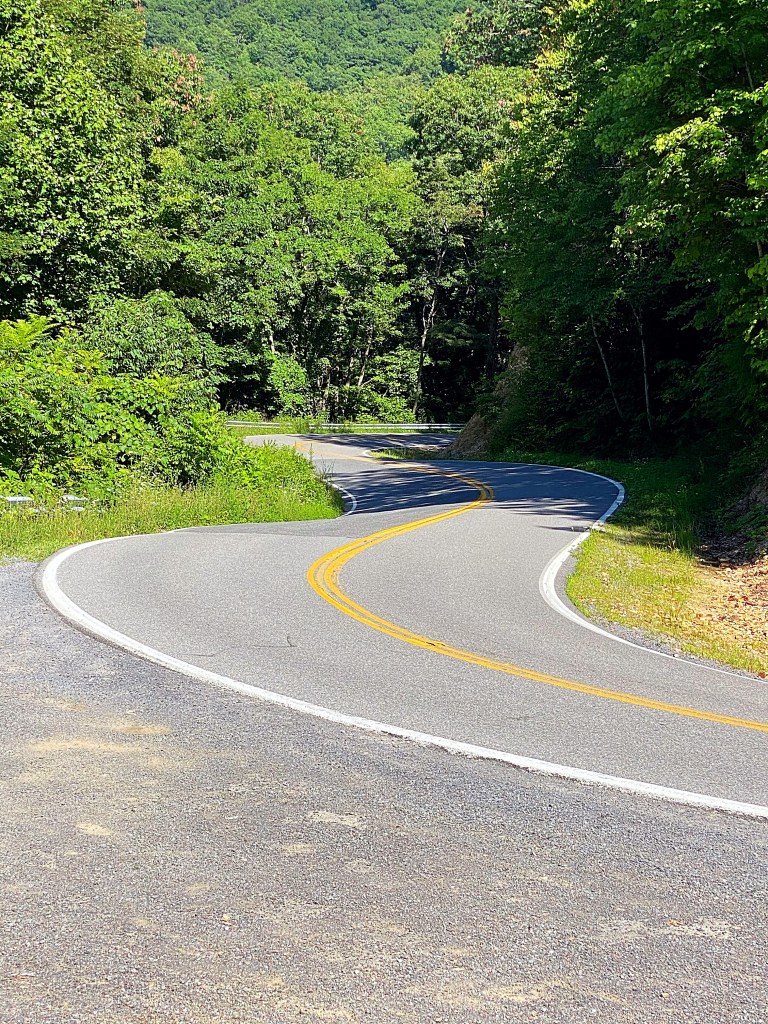
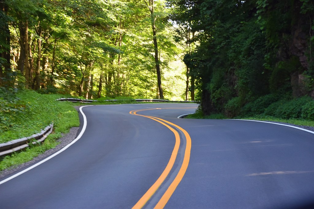
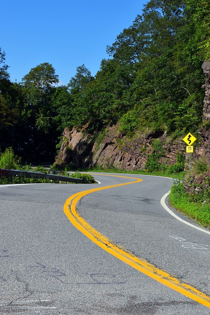
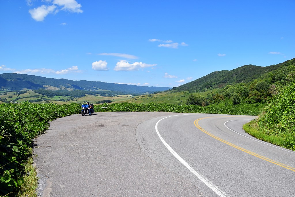
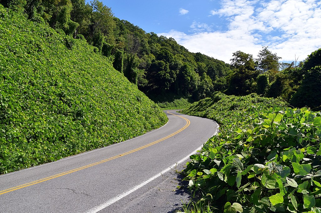
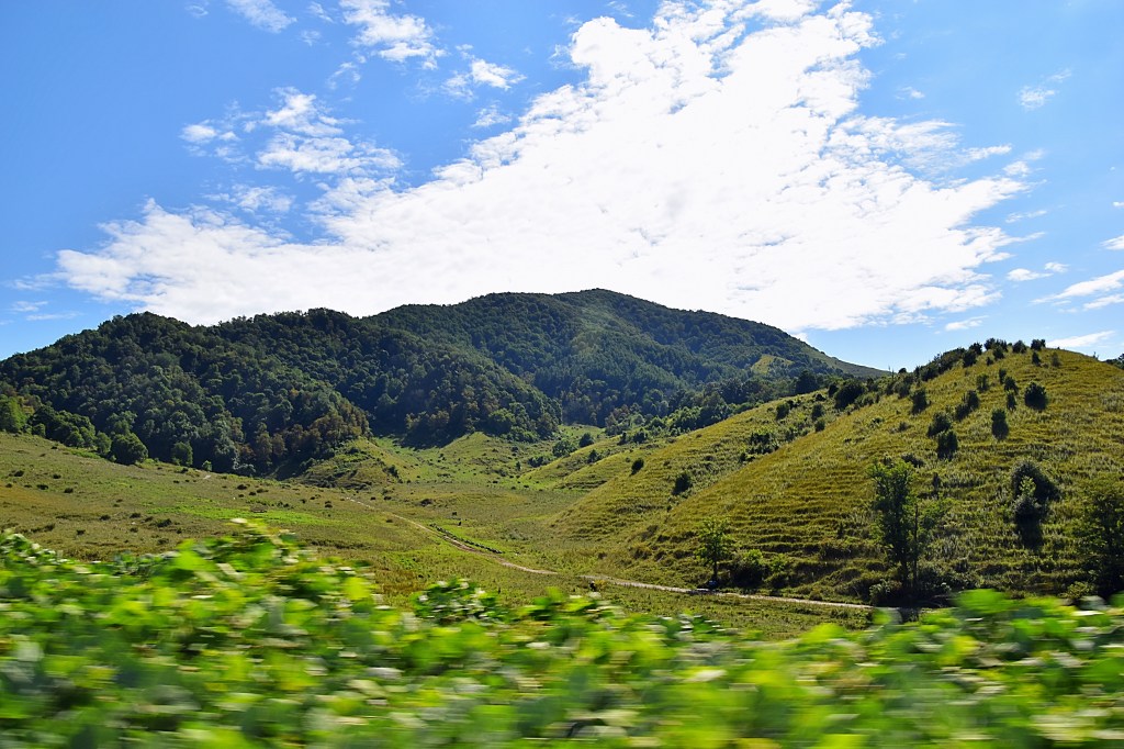
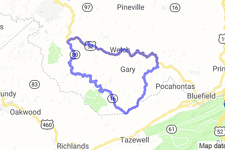
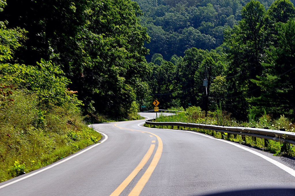
The Head of the Dragon was just a short ride from Pinnacle Rock State Park. The 91-mile loop located in McDowell County West Virginia is a beautiful ride amongst the Appalachian Mountains. The Head of the Dragon includes sections Route 52, Route 80, Route 83, Route 16, and Route 161, and travels through the local communities of: Welch, Iaeger, Bradshaw, War, Bishop, Elkhorn, Northfork, Keystone, and Kimball.
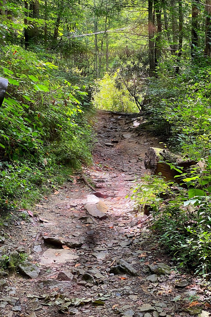
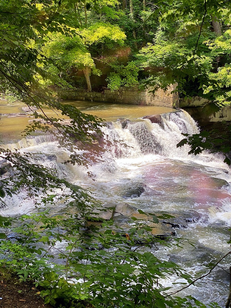
After completing the Head of the Dragon we traveled north towards Athens, WV. Close to the exit of Athens off of I-77 is Brush Creek Falls. The 33′ waterfall is a short hike, 1/4 mile, off the road down a dirt path.
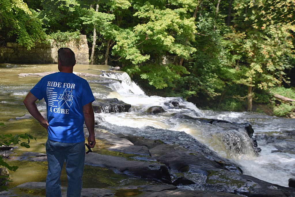
A sign near the falls explains how the site was used for grist and woolen mills as early as 1851 and continuing until about 1909. It is believed that the falls trail may have been the wagon road serving the mill. Eventually the trail became the railroad bed used by the Bluestone Land and Lumber company to haul logs to a saw mill in Gardener from 1907-1916. During that time logging camp was located downstream from the falls.

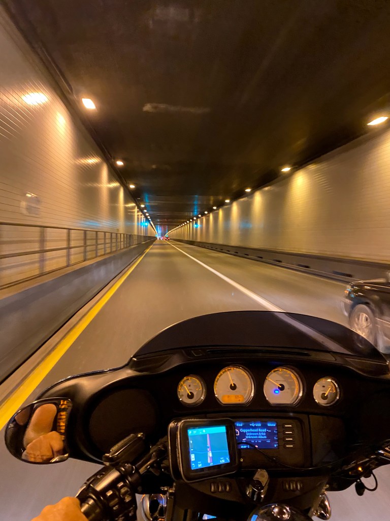
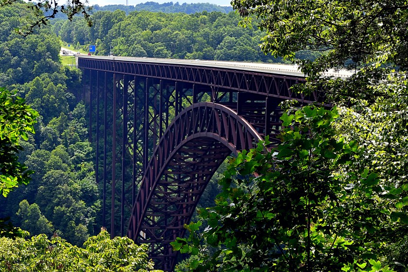
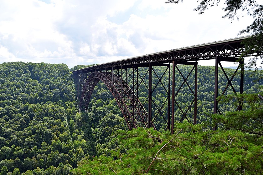
Continuing north on Route 19 our next stop was the New River Gorge Bridge. We crossed over the bridge then stopped at the Canyon Rim Visitors Center. The visitors center building was closed, but we walked down the wooded walkway to to the overlook which offered a beautiful view of the bridge and gorge.


Completed October 22, 1977, the New River Gorge Bridge is 3,032ft long and has an arch 1,700ft long. It was the world’s longest single-span arch bridge from 1977 until 2003, it’s now the 5th longest.
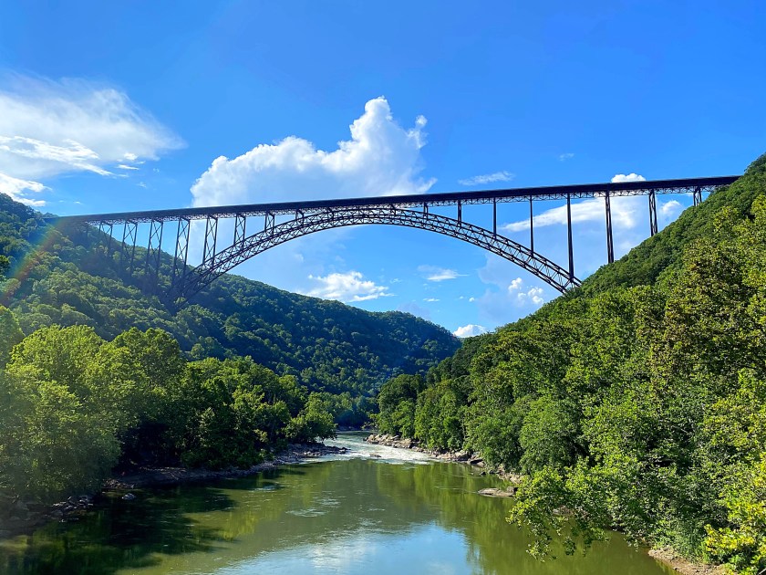
The roadway of the bridge is 876ft above the New River, making it the 3rd highest vehicular bridge in the US.
Some great information about the bridge can be found here as well as from the WV DOT.
After we were done there we stopped at a shop just down the road, Canyon Rim Gifts. You could actually walk to it from the visitor center parking area. Here my BF enjoyed some ice cream while I did a little shopping in the store. It was a great shop and had a little bit of everything. Every kind of West Virginia souvenir you could want, home accents, outdoor decorations….the list goes on and on. There was a lot packed into this shop and it was laid out very well. After I got my shopping fix, well at least what is feasible with the limited packing space on the bike, we hopped back on the bike and headed down towards the bottom of the gorge. The road leading down is a nice road twisting and turning along the rocks of the gorge.
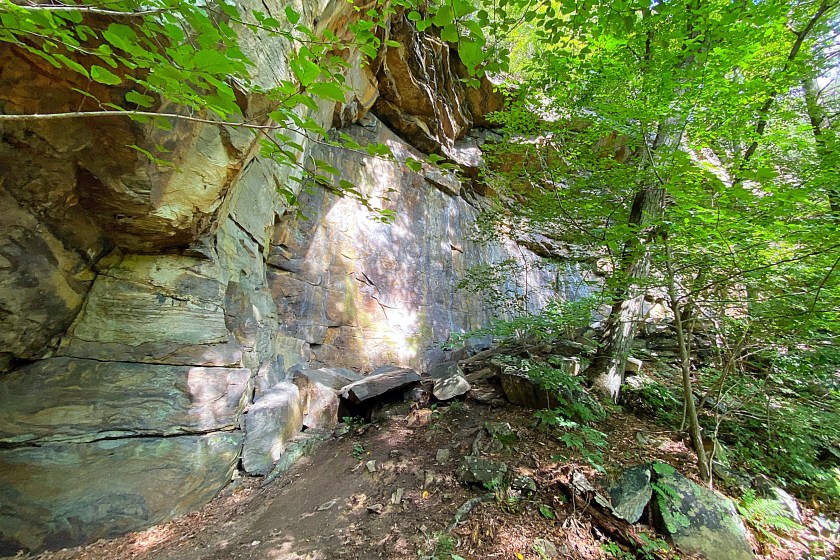
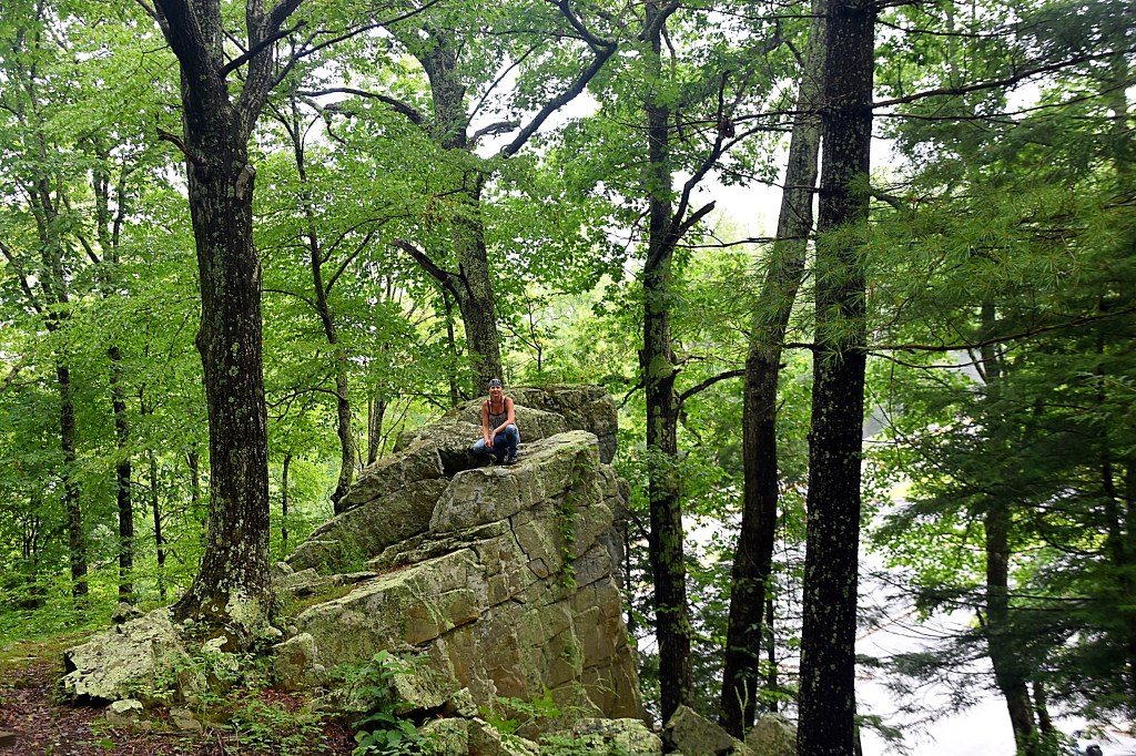
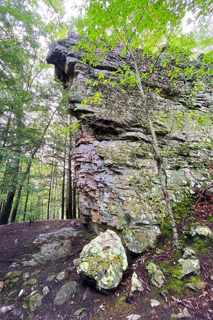
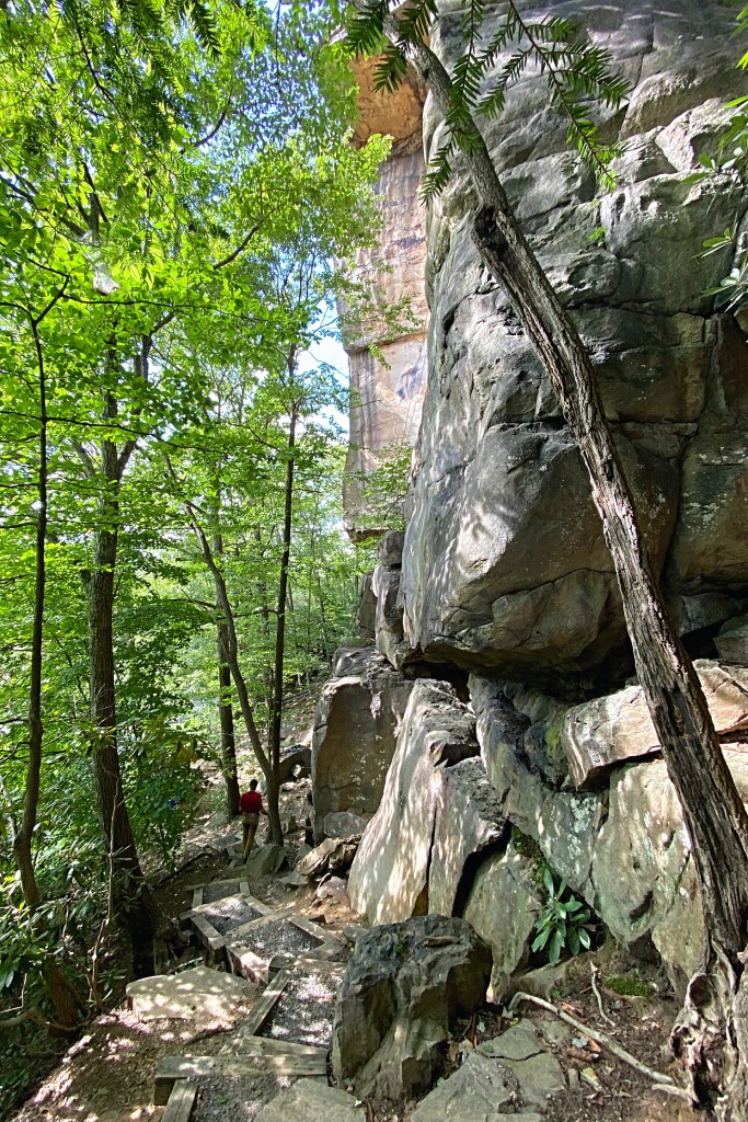
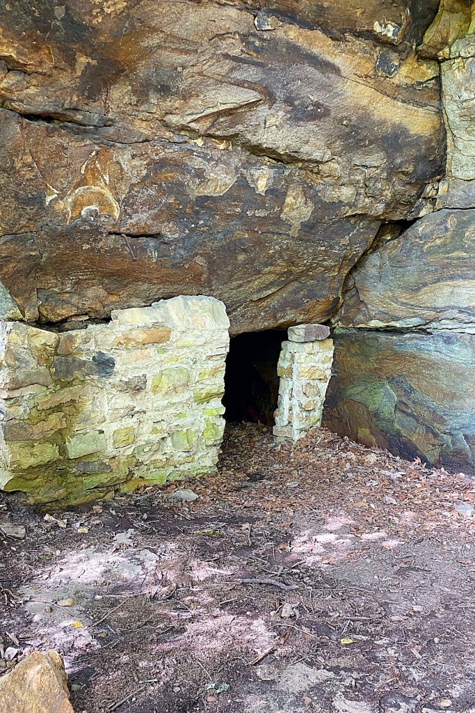
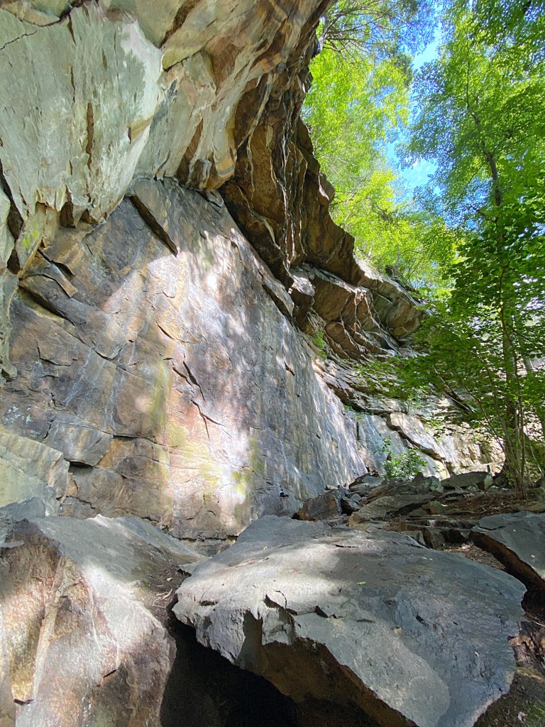
Along the way we stopped and explored some of the trails winding amongst the sandstone rocks and watched some rock climbers.


Continuing down the road we reached the the river and took a single truss bridge, Tunney Hunsaker Bridge, also known as Fayette Station Bridge across. The construction of this bridge was completed in 1889, but when the New River Gorge Bridge opened in 1977, the bridge, in a deteriorated state, was closed to traffic. Later it was rehabilitated and reopened in 1997. You can find more interesting history on this bridge here. After crossing the bridge the road wound back up the gorge to Route 19 where we crossed the New River Gorge Bridge a second time.

Taking Route 19 north we found a place to stay the night. Total mileage for day 5 was 178 miles.
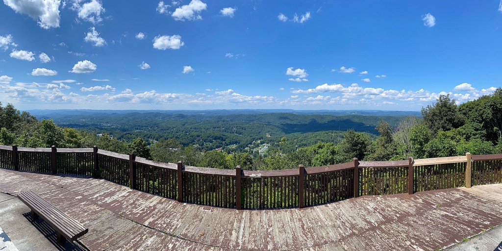
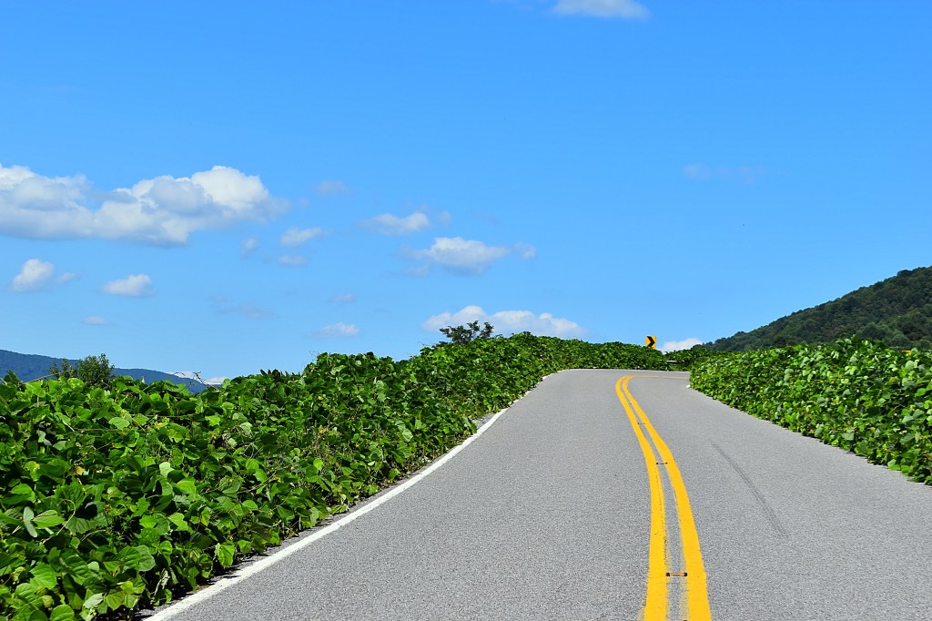
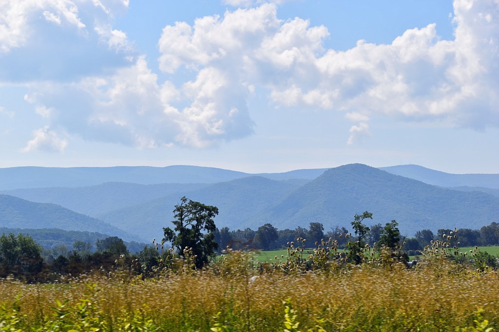
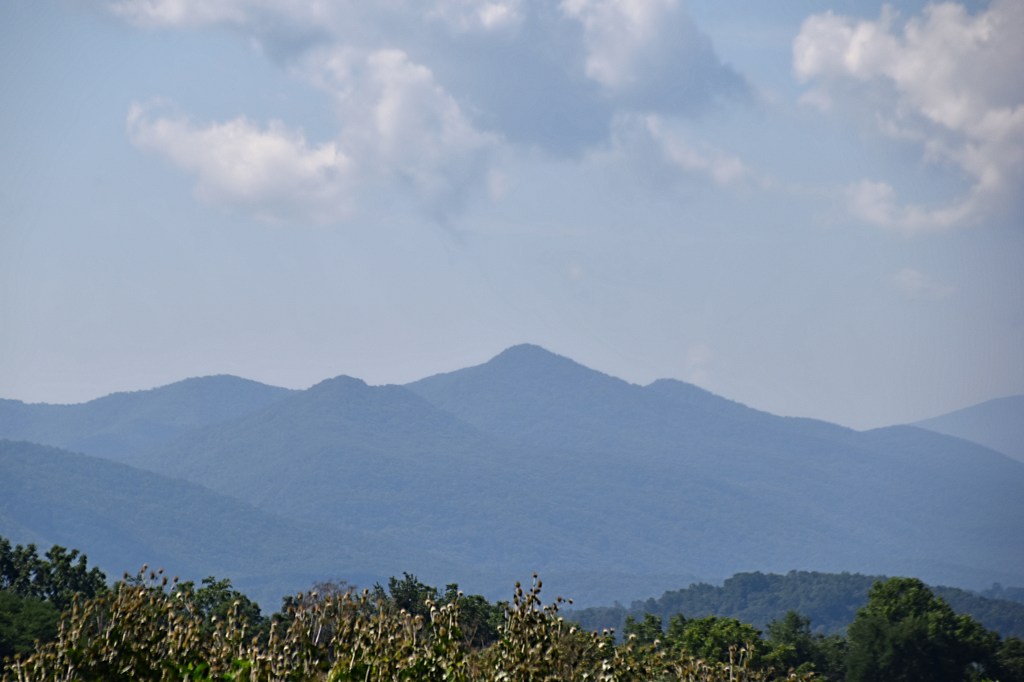
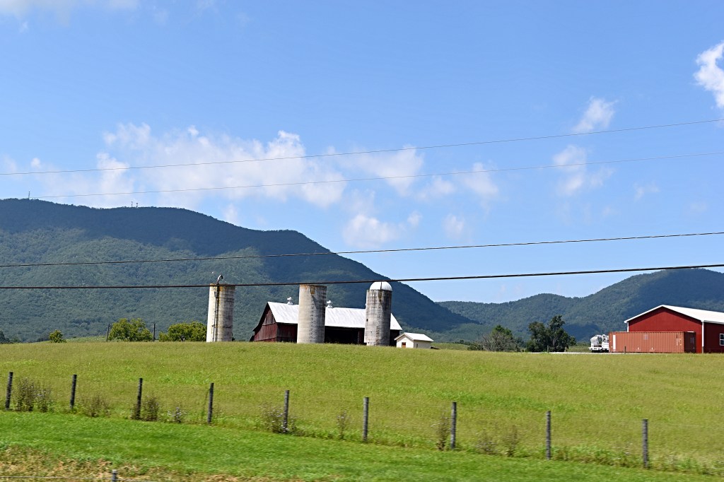
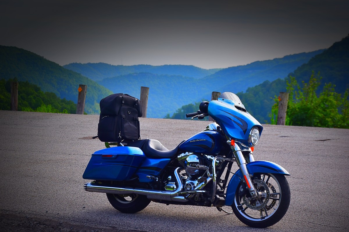
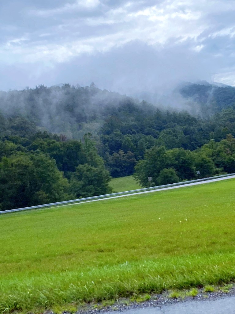
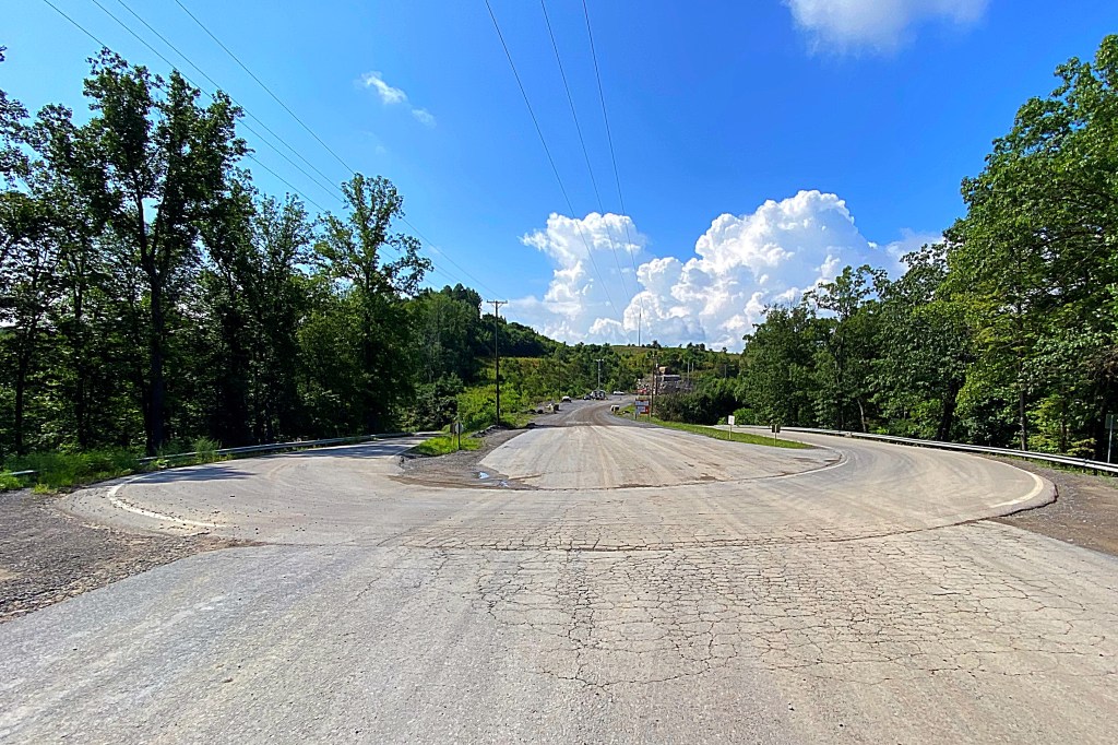
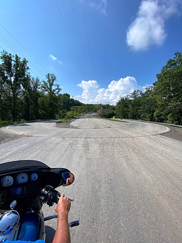
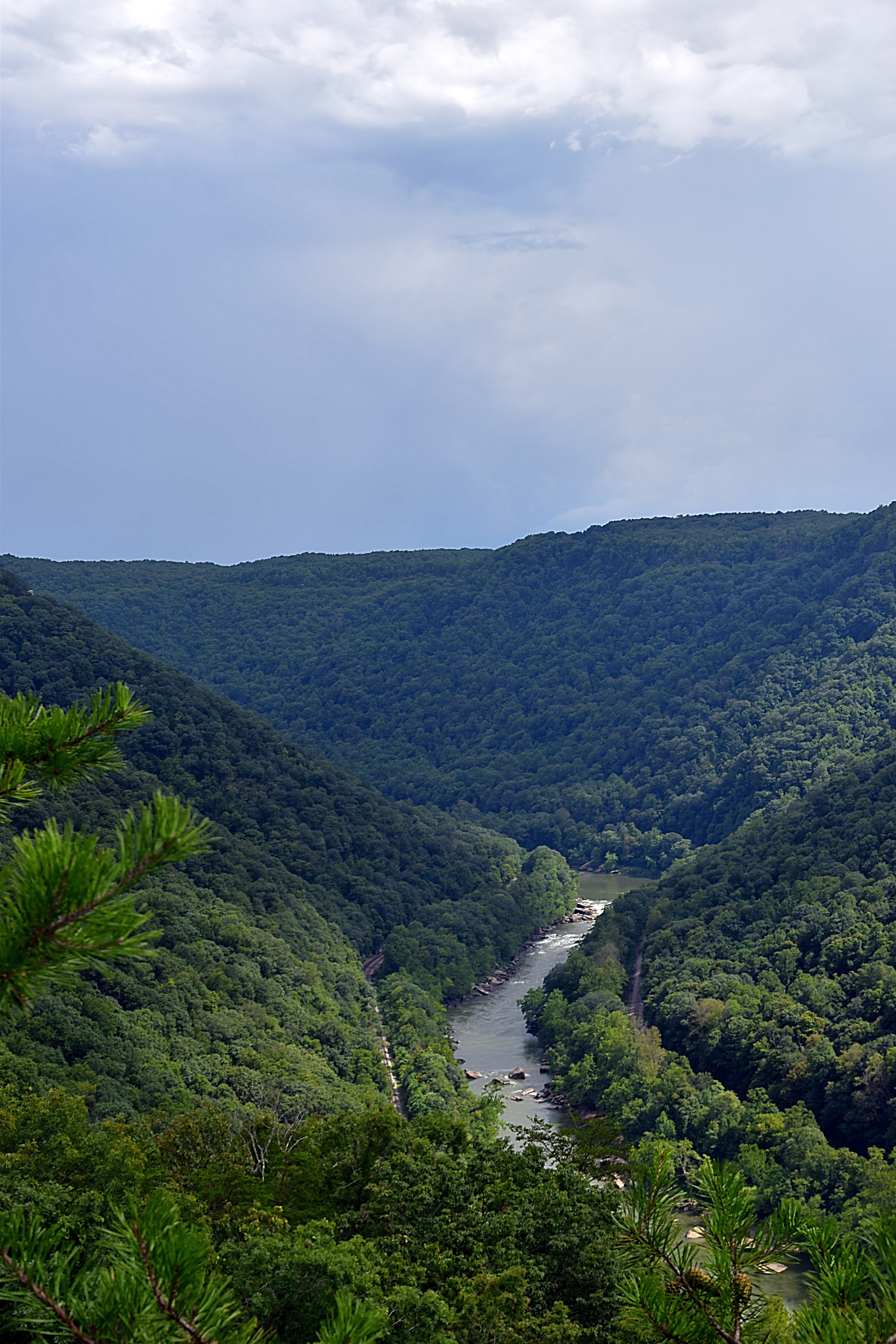
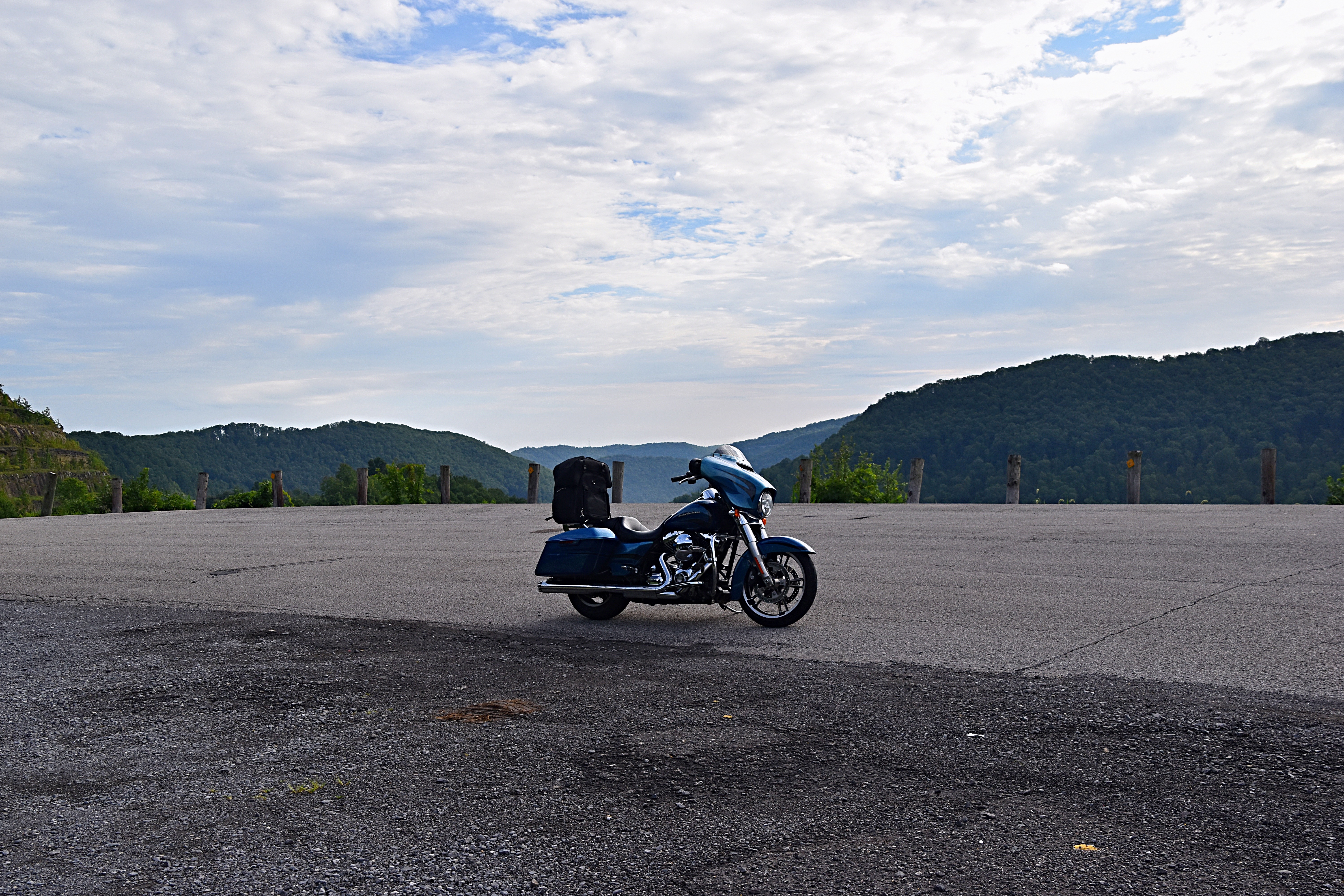
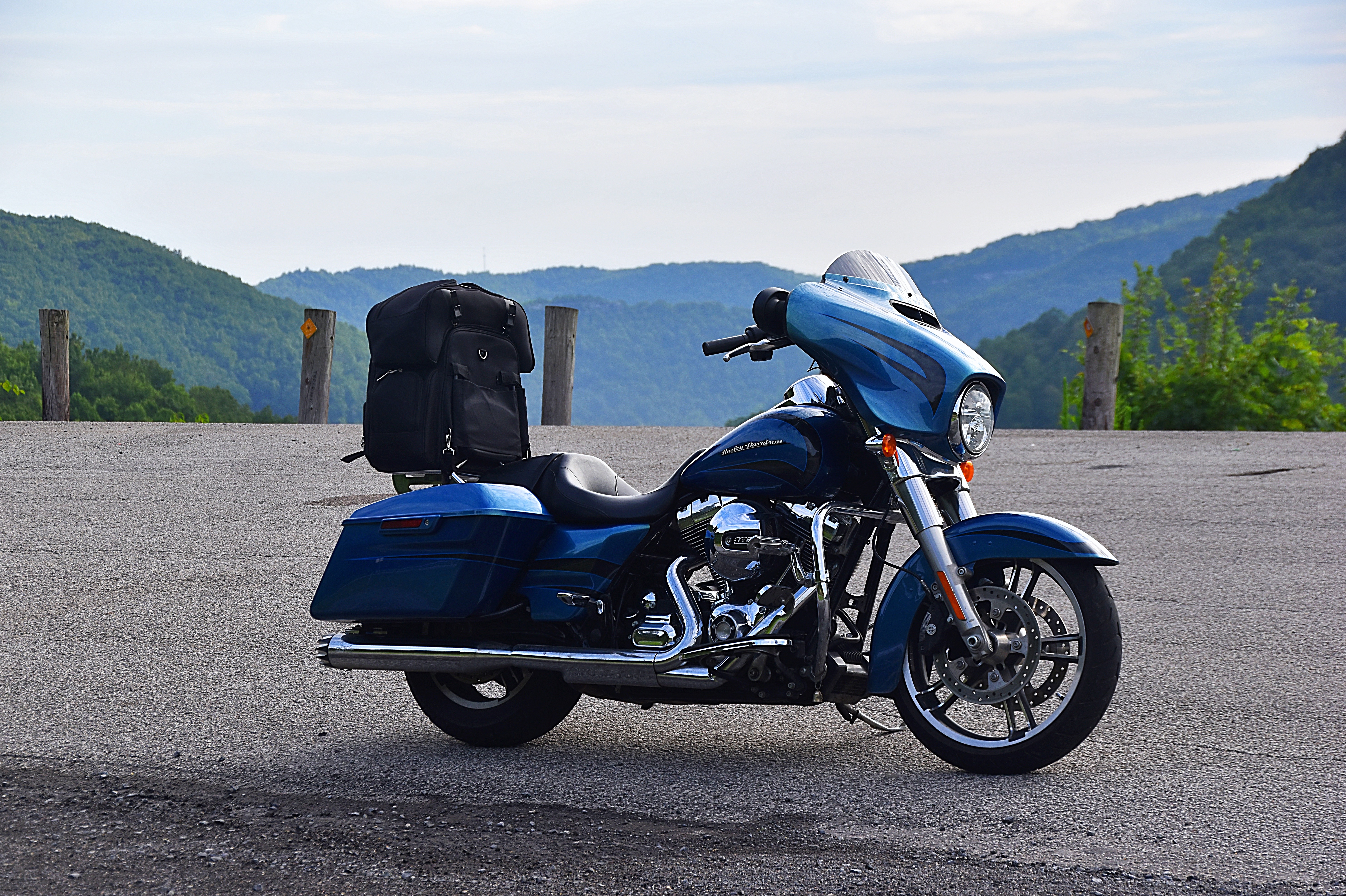
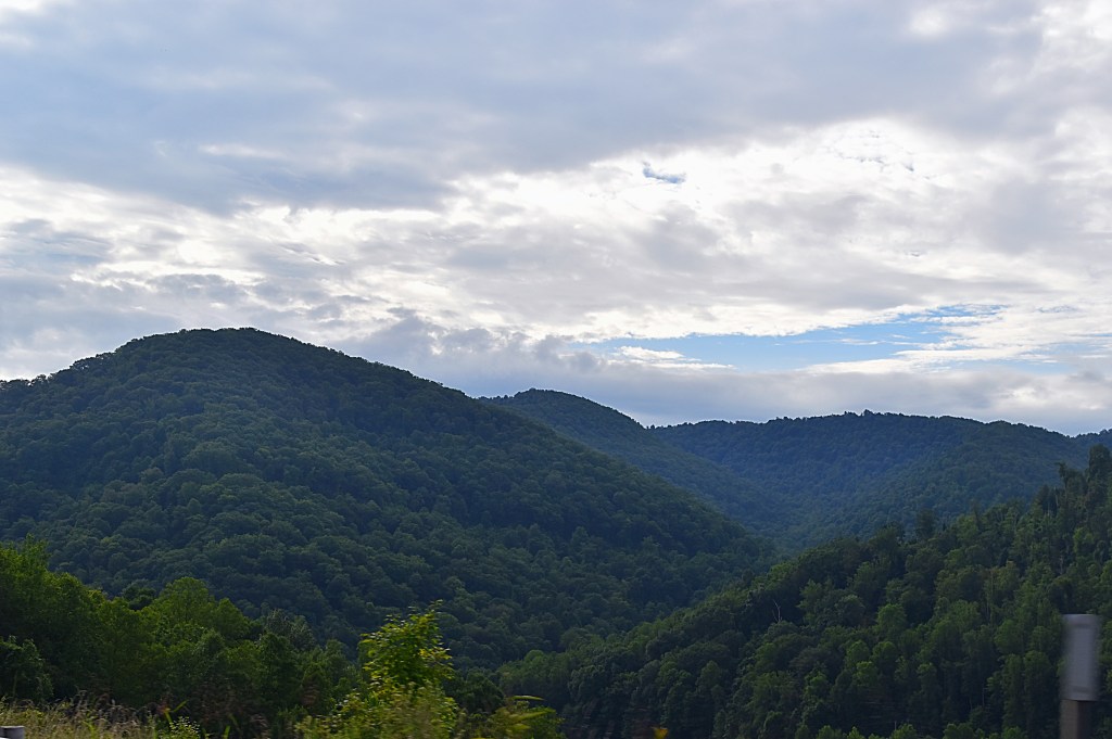
Our final day of trip 1 of the Dragon we covered a lot of ground, 252 miles. Our only site seeing stop was a scenic overlook along Route 19. This is a great place to stop and stretch a little and I was able to get some great shots.


Our total mileage for this trip was 1,683 miles. Traveling from western PA to just over the North Carolina state line and back, and completing all parts of the Dragon except the Claw. Please check back to read about our Claw of the Dragon trip, and the completion of “the Dragon”.


For my Roadtripper trips related to this post please use the links below. You will find a little variance in the original trip plans and our actual trip details. When taking any road trip the original plans tend to be just a rough itinerary that tend to change as you go….this is especially true when you are doing the trip by bike.